Leicester, North Carolina
Looking for the best hiking in Leicester? We've got you covered with the top trails, trips, hiking, backpacking, camping and more around Leicester. The detailed guides, photos, and reviews are all submitted by the Outbound community.
Top Hiking Spots in and near Leicester
-
Newport, North Carolina
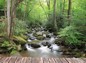
Hike to Mouse Creek Falls
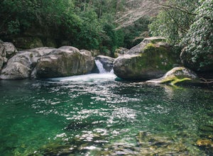
5.04.2 mi / 605 ft gainFollow Big Creek Trail on a moderate climb to this 45-foot waterfall. Around 1.3 miles in, you will begin to hike alongside Big Creek, and shortly afterwards you will pass Midnight Hole, a particularly deep pool. There are a number of other small falls en route. In spring you should see a number ...Read more -
Balsam Grove, North Carolina
Hike to Courthouse Falls
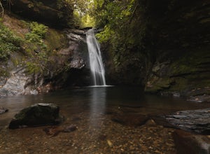
4.70.07 mi / 40 ft gainFirst off, I want to say although the road is gravel it is accessible for 2WD cars you do not need a 4WD car to access this hike. The trail begins just over the bridge that crosses Panther Branch Creek. Just over the bridge there is a pullout where you can park that should fit at least 3 cars. Th...Read more -
Tuckasegee, North Carolina
Hike to Dill Falls
0.4 mi / 400 ft gainThe drive to this waterfall can be a little muddy when there is a lot of rain and can need an AWD or 4WD in the rain. The road has some new gravel laid in parts so it could be improved in a few months. In the summer there is also a chance of seeing large dump trucks and logging trucks, but the ro...Read more -
Greeneville, Tennessee
Hike to Margarette Falls
5.02.7 mi / 715 ft gainTo reach the trail head, take exit number 39 to Erwin/Jonesborough and turn onto State Route 81/107 west and stay on this for 6.5 miles. Then you will turn left to stay on Route 107 and continue on for 16 more miles. Then you will take a left on Route 351 and drive 4.5 miles. Then you will take a...Read more -
Saluda, North Carolina
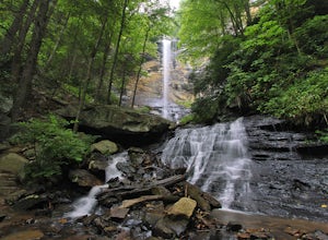
Hike Bradley Falls
4.82.3 mi / 312 ft gainThis is a really nice hike along Cove Creek that leads to a beautiful, 100 foot waterfall. While most of the trail is a relaxing stroll, the end of the hike provides a little adventure for those who feel up for it. Starting from the parking lot, follow the main trail into the woods. Early in the ...Read more -
Maggie Valley, United States
Hemphill Bald
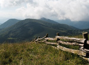
Hemphill Bald is a quintessential Smoky Mountains vantage point and this moderate loop trail leading to it takes you through beautiful forest and rolling hills. This area is incredible in all seasons - wildflowers in the spring, colorful leaves in the fall, and with bare trees in the winter, the ...Read more -
Marion, North Carolina
Tom's Creek Falls
5.00.7 mi / 148 ft gainThe hike to Tom's Creek Falls is a short but enjoyable hike right off the side of the road. The hike is on a wide and mostly flat gravel road that goes right up to the waterfall and a viewing platform that makes for a perfect place for pictures. This hike is a great hike for families and young ki...Read more -
Spruce Pine, North Carolina
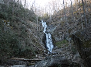
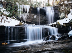
Grassy Creek Falls
1.5 mi / 312 ft gainGrassy Creek Falls is a beautiful waterfall that lies on private property just north of Little Switzerland's downtown area. The trailhead is easy to find. From Little Switzerland simply go under the Blue Ridge Parkway and the driveway is immediately on the right. You will park at the top of the...Read more -
Cedar Mountain, North Carolina
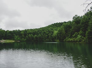
Hike to Fawn Lake
1 mi / 100 ft gainFawn Lake sits on the backside of DuPont State Forest, about a 15 minute drive from the High Falls Parking/ Visitor Center as well as Hooker Falls parking lots. With easy access and easy terrain, this is a must see to add to the list. While sometimes the main parking lots and trails of DuPont can...Read more -
Sylva, North Carolina
Abandoned Cessna 414A at Waterrock Knob (Removed)
3.71.72 mi / 430 ft gainNOTE: The wreckage has now been removed. Please see the press release on NPS.gov for more details. Ever hiked to an abandoned plane in the middle of the woods? Yeah me neither until I heard of this gem. This is an AWESOME day hike for anyone looking to get outside for a few hours and see some ...Read more -
Sylva, North Carolina
Waterrock Knob Trail
5.01 mi / 407 ft gainThe trail begins paved and quickly climbs up into a heavily forested area. Once at a 1/4 of a mile in, you will come to a nice overlook that will give you your first real good view of the surrounding mountains. The trail then continues on, though now unpaved, with great views off to your left as ...Read more -
Maggie Valley, North Carolina
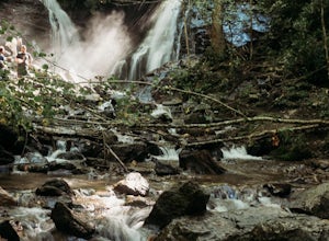
Soco Falls
5.00.09 mi / 0 ft gainThis double waterfall is located a mile and half off of the Blue Ridge Parkway in the Cherokee Indian Reservation. From the parking area, it's a short walk down a well-established trail to the viewing area of the falls. For an even closer view of the falls, you can follow a roped, steep path dow...Read more -
Newport, Tennessee
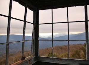
Explore Halls Top Fire Tower
4.01 mi / 200 ft gainHalls Top Fire Tower is a special untouched spot in the Cherokee National Forest. The road that leads you into the CNF is known as Halls Top Road just a few miles off of Interstate I-40. This road will take you 4.4 miles to the next turn onto Stone Mountain Road this road is 2.1 miles to the gat...Read more -
Greenville County, South Carolina
Hike the Jones Gap Loop
5.05.5 mi / 2000 ft gainStart on the Jones Gap Trail (blue), which will lead you alongside the Saluda River. After 2.5 miles, take the Old Springs Branch Trail (orange) to loop back to the lot.For a challenging, more strenuous hike, with great views of the Gap, check out Rim of the Gap Trail. It is not advised to take c...Read more -
Greenville County, South Carolina
Hike the Pinnacle Pass/Rim of the Gap Loop
11.5 mi / 2345 ft gainThe Trailhead: Located at Jones Gap State Park in Marietta, SC of northern Greenville County. Follow the trail across an iron bridge that crosses the Middle Saluda River, and be sure to register at the Ranger’s Station/Gift Shop on the far side of the gap. The trail head(s) are located directly o...Read more -
Greenville County, South Carolina
Hike to Rainbow Falls and Pretty Place
5.05.96 mi / 1844 ft gainJones Gap State Park in the Upstate of South Carolina is one of the most beautiful parks in the state offering a good range of moderate and challenging hiking and backpacking trails through the Mountain Bridge Wilderness Area. Jones Gap also provides superb primitive camping sites along the rocky...Read more

