Leicester, North Carolina
Looking for the best hiking in Leicester? We've got you covered with the top trails, trips, hiking, backpacking, camping and more around Leicester. The detailed guides, photos, and reviews are all submitted by the Outbound community.
Top Hiking Spots in and near Leicester
-
Clyde, North Carolina
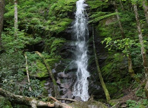
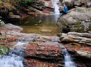
Hike to Little Fall Branch falls
0.3 mi / 300 ft gainThe trailhead to this hike is easy to find but the gps is hard to match so it might try to take you through the middle of the trees but its easy to follow the road. The best way to get here is to go off of I-40 at the Harmon Den exit and then go up the road towards Max Patch. To get to the trailh...Read more -
Black Mountain, North Carolina
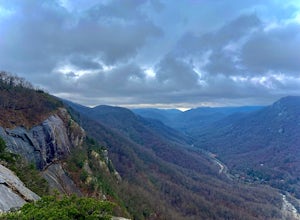
Eagle Rock
0.7 mi / 151 ft gainEagle Rock is located in Chimney Rock State Park and is a hot spot for climbers and hikers! The hike to the overlook at Eagle Rock is 0.4 miles, and it's one of the most bang-for-your-buck trails in the area. We love to picnic out on the rock as it's in the sun most of the day. If you decide to...Read more -
Del Rio, Tennessee
Max Patch to Hot Springs, N.C. via Appalachian Trail
3.014.06 mi / 2966 ft gainMake a weekend trip from Max Patch to Hot Springs N.C., and be sure to soak in the natural hot springs at the old inn after your hike! This is an incredible, relatively easy hike with the reward at the end being hot springs on the French Broad River. You can break this up however you like, this i...Read more -
Del Rio, Tennessee
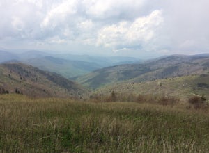
Max Patch Mountain
5.01.51 mi / 315 ft gainMax Patch Mountain was once cleared for pasture land, leaving an expansive flat summit that now serves as the ideal location for a picnic hike, flying a kite, or laying in the sun surrounded by the Great Smoky Mountains. With little elevation gain and a short distance it is also very family (and ...Read more -
Lake Lure, North Carolina
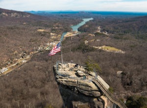
Explore Chimney Rock
4.00.5 miChimney rock is a beautiful slab of weather granite that is visible from miles around. To get to this hike you'll want to head to Lake Lure in North Carolina, a beautiful lake located in the mountains of western North Carolina. Follow the signs for Chimney Rock and take the switchback road up t...Read more -
Lake Lure, North Carolina
Exclamation Point and Skyline Trail to Hickory Nut Falls
5.02.98 mi / 1204 ft gainExclamation Point and Skyline Trail to Hickory Nut Falls is an out-and-back trail that takes you by a waterfall located near Chimney Rock, North Carolina.Read more -
Lake Lure, North Carolina
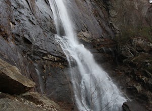
Hike to Hickory Nut Falls
5.02 mi / 200 ft gainThis waterfall is located inside of the Chimney Rock State Park. There is a fee of 15 dollars to go to the State Park but it is very worth it because of the beautiful scenery and beautiful views. The hike to the waterfall is partially uphill on the way. When you get to the waterfall there are a f...Read more -
Brevard, North Carolina
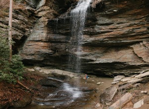
Moore Cove Falls
4.31.28 mi / 223 ft gainThe hike relatively quick and has minimal elevation gain, making it a great hike for the family or a quick stop off if you're planning to do another hike in the same day. This part of the Pisgah National Forest is filled with scenic hikes. Once you've parked your car, cross over the stream via a...Read more -
Burnsville, North Carolina
Backpack the Black Mountain Crest Trail
12 mi / 5390 ft gainThe Black Mountain Crest Trail is legendary among hikers in the southeast. It is the highest trail east of the Mississippi, as it traverses the summit of several peaks over 6,000 feet. It is also widely acknowledged as one of the premier hikes on the east coast. To whit, the trail immediately asc...Read more -
Burnsville, North Carolina
Roaring Fork Falls
1.52 mi / 302 ft gainRoaring Fork Falls is an out-and-back trail that takes you by a waterfall located near Burnsville, North Carolina.Read more -
Burnsville, North Carolina
Roaring Fork Falls
1.31 mi / 249 ft gainPark at the work center but don't block the gate. Hike around the gate and head up the grassy and gravel road. Once you get to the creek a narrow path leads upstream to the base of the falls. gps: n35 46.101/ w82 11.713Read more -
Canton, North Carolina
Skinny Dip Falls
4.81.03 mi / 148 ft gainPark at the Looking Glass Rock Overlook. After enjoying the view of Looking Glass Rock, gear up and head to the right side of the parking area (right side if your back is to the overlook). On the opposite side of the road you'll see a mile marker and a little trail to the left of the marker. Foll...Read more -
Lake Lure, North Carolina
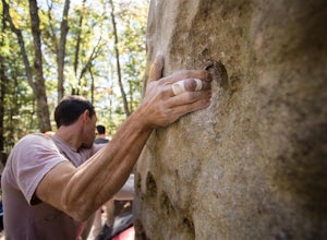
Boulder at Rumbling Bald
4.51.5 miLocated off of Boys Camp Rd. in Lake Lure, North Carolina, Rumbling Bald is a huge boulder yard that has been in use since the 1970's and has begun to flourish. Conveniently at the trail head is a gravel parking lot with three Port A Johns to use. Make sure you get to the parking lot early thou...Read more -
Brevard, North Carolina
Art Loeb Trail
4.830.07 mi / 7467 ft gainStart at The Davidson River Campground just outside of Brevard, NC (276 Pisgah Ranger District). Have a shuttle car or a friend waiting at the Daniel Boone Boy Scout camp for the finish line. Hop on the 30.1 mile long Art Loeb Trail at the trailhead in the Davidson River Campground. Pull into th...Read more -
Brevard, North Carolina
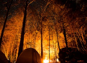
Camp at Davidson River Campground in the Pisgah National Forest
4.5Pisgah National Forest, in my opinion, is one of the best national forests in the United States. Being just a short drive from Great Smokey Mountain National Park it has all the feel of being in the smokies with more to explore. Pisgah has anything you could want to see or do from tens of water...Read more -
Hendersonville, North Carolina
Hike along The World's Edge
0.7 mi / 40 ft gainPark at the end of The World's Edge Road, but be aware that parking is very limited. There is a private residence up to the right so do not block their driveway/gate. Begin your hike by going through the leftmost gate, and continue straight until you reach the first view less than half a mile in....Read more

