Cataloochee, North Carolina
Top Spots in and near Cataloochee
-
Greeneville, Tennessee
To reach the trail head, take exit number 39 to Erwin/Jonesborough and turn onto State Route 81/107 west and stay on this for 6.5 miles. Then you will turn left to stay on Route 107 and continue on for 16 more miles. Then you will take a left on Route 351 and drive 4.5 miles. Then you will take a...
Read more
-
Cashiers, North Carolina
3.3
1.7 mi
/ 1000 ft gain
Upon entering High Hampton Inn, follow the entrance road past the registration building, cart shed and parking lot. Take a right down a gravel road that follows alongside Hampton Lake. This gravel road continues for half a mile, even winding through part of the golf course and crossing over the c...
Read more
-
Highlands, North Carolina
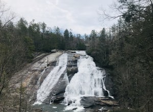
This is an awesome waterfall that offers views from several different spots along the road as well as a quick hike down to the base!
The small pull-off area is located towards the top of the falls. There isn't much space (3 maybe 4 cars at a time), but there are additional pull-off areas further ...
Read more
-
Franklin, North Carolina
4.7
2.36 mi
/ 807 ft gain
The road leading to the trailhead is rough the last mile, but doable in any car. Just make sure to take it easy going up and be careful, especially if there has been any rain or snow. You will have reached the parking area for the hike once you see a large green Appalachian trail sign and a few...
Read more
-
Lake Toxaway, North Carolina
4.5
3.91 mi
/ 778 ft gain
Rainbow Falls is one of the most scenic waterfalls in North Carolina's Blue Ridge Mountains. The Horsepasture River swells in the rainy season, dumping a cascade of water 150 feet. The plume of mist at the bottom creates a distinct rainbow effect, giving the falls its name. Hike to Rainbow Falls ...
Read more
-
Townsend, Tennessee
Start your hike at Anthony Creek Trailhead (elevation 1,800 ft), in the Cade’s Cove area. The trailhead is located at the far end of the day-use picnic area near Cade’s Cove campground. There are a few parking spots right at the trailhead, but note that the picnic area closes at dusk (a gate clos...
Read more
-
Highlands, North Carolina
Whiteside Mountain is simply breathtaking, there is no way around it. Views of the mountain from the South expose its sheer granite face, which runs almost its entire length East-to-West. However, the views of the mountain are just the beginning, as this hike climbs to higher heights than just ...
Read more
-
35.604955,-83.770373
5.0
12.8 mi
/ 3500 ft gain
Rocky Top is known to be the spot that inspired the famous fight song of the University of Tennessee, which is also an official song for the state of Tennessee.
The trailhead for this hike begins in the Cade’s Cove picnic area parking lot towards the back side. There are a few parking spots ri...
Read more
-
Highlands, North Carolina
This waterfall is located just outside of Cashiers, NC. The trailhead to the waterfall is right off of the road and has a good amount of parking. The trial itself is very nice and has new steps at the beginning of the trail. The trail is very wide and is mostly flat the entire way there. Once you...
Read more
-
Cashiers, North Carolina
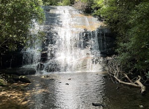
The hike to this waterfall is very short and well worth it. The waterfall is about 40 feet tall and has a large volume of water. This makes for a great place to swim. The bottom of the pool is about 15 feet deep and offers cool mountain water. To get there it is just outside of Cashiers, North C...
Read more
-
Kodak, Tennessee
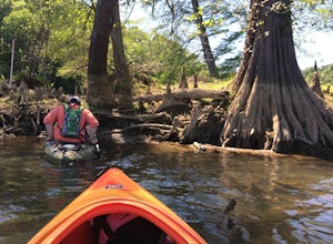
Begin your trip by putting your kayak in the water at Kelly Lane. The parking area is large and grassy. The trip is 4 miles and takes about two hours. On your journey you will have views of flower fields and rock walls.
Once you get to the island paddle around and see the wildlife. There is a sec...
Read more
-
-
Hendersonville, North Carolina
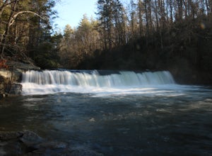
Hooker Falls is located in Dupont State Forest in southern North Carolina. The hike is a great hike for kids to go on and to have a picnic. The waterfall is a beautiful waterfall that offers a great place to swim. Along the hike there are also other places you can see the river and you can swim a...
Read more
-
Little River, North Carolina
4.5
2.38 mi
/ 502 ft gain
Both falls provide ample open, flat rock right up next to the massive falls where you can picnic, take photos, or just lounge in the sun and mist. There are signs saying so, but be sure to be careful near the waters edge below the falls - swimming is not allowed as the current can be very strong....
Read more
-
Black Mountain, North Carolina
4.8
1.03 mi
/ 285 ft gain
I usually spend the day visiting restaurants and breweries around Asheville. Before it gets late, so you can enjoy the views, head to the Blue Ridge Parkway located right outside the city. After about 30 minutes on the parkway, you will park at the Craggy Pinnacle parking lot Milepost 364.1.
Fro...
Read more
-
Barnardsville, North Carolina
5.0
1.11 mi
/ 125 ft gain
The trail begins at the back of the parking area and is marked by a trail sign. Once on the trail, it is a straight shot to the waterfall with no turnoffs. Overall the trail is very easy and is a slight descent all the way down. Around .3 miles into the trail you enter a forest of now-dead hemloc...
Read more


