Cataloochee, North Carolina
Top Spots in and near Cataloochee
-
Highlands, North Carolina
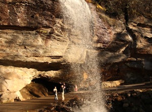
Bridal Veil Falls is located directly off of the road and is about a 100 feet tall in total. The falls makes for a great place to take pictures under the water falls. The falls itself is small and flows constant all year long getting to the bottom of the falls is not recommended because it is dan...
Read more
-
Kodak, Tennessee
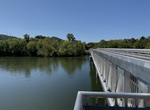
This is a great and easy hike through the Seven Islands Birding State Park. This park is located in east Knoxville and is one only 20 minutes from downtown Knoxville. The trail starts at the Seven Islands Birding Park parking lot that has a beautiful garden with lots of wildflowers. The trail is ...
Read more
-
Kodak, Tennessee
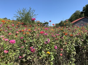
This trail is located in the Seven Islands Birding State Park. This park is east of Knoxville only about 20 minutes from downtown Knoxville. The park is small but there is plenty of beauty and lots of hiking trails in the area. At the beginning of the trail there is a gorgeous flower garden and a...
Read more
-
Highlands, North Carolina
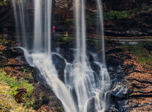
Dry Falls is located off of Hwy. 64, which has been designated as the Mountain Waters Scenic Byway, and the road does not disappoint. Hwy. 64 is a two lane road which hugs the northern side of Cullasaja Gorge, which has been carved by the Cullasaja River. Besides Dry Falls, Hwy. 64 leads you past...
Read more
-
Highlands, North Carolina
At the foot of Blackrock Mountain just outside of Highlands, North Carolina, lies one of the most unique and secluded natural playgrounds around. Granite City is composed of several massive granite boulders, ranging between 10-40 feet tall. This spot is most popular for bouldering (mostly V0-V2...
Read more
-
Bryson City, North Carolina
Leaving the Nantahala Outdoor Center, drive upriver for 6.5 miles until you see a pull off on the right. Walk past the picnic tables, cross the railroad tracks, then follow the trail to arrive at the creek. Once you're there, it's up to you on what to do next.One of the most popular activities he...
Read more
-
Franklin, North Carolina
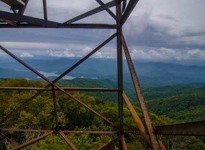
The Wayah Bald Lookout Tower is located in Nantahala National Forest in one of the oldest part of the protected land. It was first built in the 1920s then it was rebuilt throughout the years until it was finally made out of stone and concrete. The current tower that stands offers great views of t...
Read more
-
Walland, Tennessee
The foothills parkway runs parallel to the Great Smoky Mountains. It is 38.6 miles in total with the longest section at 33.0 miles. There are a few different places to get on to the parkway. There is one entrance near Fontana, Walland, Wears Valley, and Cosby. However Cosby is a smaller section a...
Read more
-
Fairview, North Carolina
Park along the road at Bearwallow Gap - this is also the parking area for Bearwallow Mountain. Starting at a little over 3600ft, the Trombatore Trail has been well marked by the Carolina Mountain Land Conservancy with red blazes. Parts of the trail border private land, so pay attention to the sig...
Read more
-
Hendersonville, North Carolina
Once you have parked along the roadside near the trailhead, pass through the big gate on the right side of the road and take the trail off to the right. The trail winds up the mountain for a mile before it empties out onto the bald atop Bearwallow. Once on the bald, you can follow the gravel road...
Read more
-
Cashiers, North Carolina
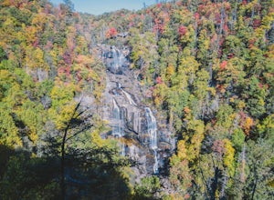
Whitewater Falls is the highest waterfall east of the Rocky Mountains with the upper falls alone dropping over 400 feet. The walk to the falls is very short and friendly for all ages and abilities - the path is paved so the falls are wheelchair accessible. The falls are beautiful in all seasons b...
Read more
-
Fontana Dam, North Carolina
5.0
8.84 mi
/ 2605 ft gain
Your Shuckstack adventure starts at the Fontana Dam outside of Bryson City, NC. As the highest dam East of the Rocky Mountains, it's a sight on its own. This will be your last chance to fill up water bottles and use the restroom so take advantage.
You can leave on foot from the dam and continue ...
Read more
-
Cedar Mountain, North Carolina
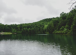
Fawn Lake sits on the backside of DuPont State Forest, about a 15 minute drive from the High Falls Parking/ Visitor Center as well as Hooker Falls parking lots. With easy access and easy terrain, this is a must see to add to the list.
While sometimes the main parking lots and trails of DuPont can...
Read more
-
Townsend, Tennessee
Cade's Cove is a valley located smack in the middle of the Great Smoky Mountains National Park. Feel free to drive the 11 mile loop in the day, but if you're really cool, you'll schedule your trip around a full moon so you can bike under the light of night! Allow yourself a few hours to explore a...
Read more
-
Sunset, South Carolina
This stunning waterfall tumbles down 80 feet before spilling into Lake Jocassee between a slot of shear rock cliffs. However, the catch is not many people see this beautiful location unless you have a boat or are willing to hike a streneous 8-mile hike one-way along the Foothills Trail.But I am s...
Read more
-
Townsend, Tennessee
5.0
11.3 mi
/ 3020 ft gain
The Gregory Bald summit is indisputably picturesque – the 10-acre meadow at the top hosts magnificent azalea blooms in June, wild blueberries in August, and views of Cades Cove, Rich Mountain, Fontana Lake, Thunderhead Mountain, and Clingmans Dome, year-round.
Start this hike at the Gregory Ridg...
Read more

