Tuxedo Park, New York
Looking for the best photography in Tuxedo Park? We've got you covered with the top trails, trips, hiking, backpacking, camping and more around Tuxedo Park. The detailed guides, photos, and reviews are all submitted by the Outbound community.
Top Photography Spots in and near Tuxedo Park
-
Brooklyn, New York
Brooklyn Bridge Park Piers
5.01.5 miStarting at the Brooklyn Main Street Park, you are on the right side of the Manhattan Bridge. Here you can check out the new outdoor climbing gym. Keep walking along the water and you'll soon come upon Pebble Beach. Now this beach is not exactly a "let's bring our beach chairs and spend the da...Read more -
Brooklyn, New York
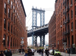
Photograph Manhattan Bridge from Washington Street NYC
4.7Located in DUMBO this is seen as one of of the prime photography spots in NYC for good reason. Off the intersection of Washington Street and Water Street is a perfect view of the Manhattan Bridge sandwiched between two buildings. If you want to take it one step further you are able to get a close...Read more -
Dingmans Ferry, Pennsylvania
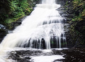
Explore Dingmans Falls
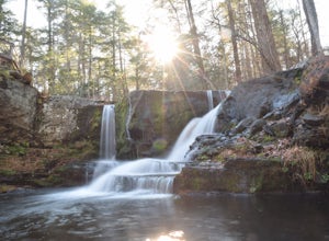
3.80.4 miThe waterfall is about 0.2 miles into the hike. I would recommend going to the very top of the biggest waterfall towards the end of the hike, there are steps leading up to it! There's also a hidden water hole at the very top of the waterfall about 0.2 miles up stream, I saw people in it during th...Read more -
Gillette, New Jersey
Great Swamp National Wildlife Refuge Loop
5.00.94 mi / 43 ft gainNestled within the more urban and suburban communities in Northern New Jersey, you can escape back to nature at Great Swamp National Wildlife Refuge. The name says it all - this place is the perfect opportunity to get up close to a variety of different wildlife that call this protected land home....Read more -
Stamford, Connecticut
Hike Cove Island Park Loop Trail
5.01.1 mi / 3 ft gainThis trail is accessible year round and features water views of the Long Island Sound with beach access. The trail is a popular spot for walking, biking, fishing, and even bird watching. But if you’re not quite in the mood to get your steps in, you can use the small beach to sit and chat with a f...Read more -
Gardiner, New York
Hike the Millbrook Mountain/Gertrude Nose loop
9 mi / 1700 ft gainThis great loop hike starts from the upper parking lot of Lake Minnewaska State Park. Walk towards Lake Minnewaska and once on that carriage road, turn left and follow the road to the to the opposite end of the lake. Along the way are great view points of the lake and several picnic areas for day...Read more -
Gardiner, New York
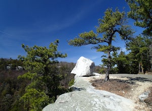
Gertrude's Nose
4.96.97 mi / 919 ft gainIt would be impossible to see all of Minnewaska’s beautiful spots in one day. Gertrude's Nose is, in my opinion, the best view in the entire park. Round trip, the hike is approximately 5 hours, and is a 7.5 mile trip. To get to the trailhead: Drive to the Minnewaska State Park entrance, pass the...Read more -
3197 U.S. 44, New York
Hike to Sky Top via the Undercliff Road
7.3 mi / 900 ft gainStarting from the East Trapps parking area ascend the East Trapps connector trail marked with yellow blazes. You can also park at the Mohonk Preserve visitor center where you can purchase your access pass ($15 per person) and pick up a free map of the presere trails and carriage roads. The conn...Read more -
Dingmans Ferry, Pennsylvania
Hike to Indian Ladder Falls Along Hornbecks Creek
3.52 mi / 400 ft gainFor some time, the trail was eroded above the first falls on Hornbecks Creek, not allowing hikers to access the creek's upper falls if they were coming upstream from Route 209. I am writing this in June 2017 and that is no longer the case! You can hike from Rt. 209 all the way up the creek to Eme...Read more -
Gardiner, New York
Hike The Millbrook Mountain Ridge Trail
5.07 mi / 1400 ft gainWant to walk on the edge? visit Millbrook Mountain in the Catskills of NY. This loops hike follows the mountains ridge line most of the way to the summit with multiple viewpoints and cliff ledges to walk out on. This hike is recommended those in the area.Park at West Trapps Parking Lot and head ...Read more -
Gardiner, New York
Hike the Overcliff - Undercliff Road Loop
5.3 mi / 350 ft gainFrom the West Trapps parking lot ($15 for hikers), walk to the end of the parking lot and past a large kiosk. The trail connects the parking lot to the Overcliff Road/Undercliff Road junction. The loop can be done in either direction. I turned left on the Overcliff Road. This takes you behind...Read more -
Brooklyn, New York
Prospect Park Loop
4.03.65 mi / 223 ft gainThere are multiple places to enter Prospect Park. If you're looking for the main entrance to Prospect Park, it faces the stunning Soldiers' and Sailors' Arch in Grand Army Plaza. It is adjacent to the Brooklyn Botanical Garden, the flagship Brooklyn Public Library, and the Brooklyn Museum. As you...Read more -
Dingmans Ferry, Pennsylvania
Explore George W Child's Park
4.01.4 mi / 144 ft gainOnce parked, enter the trailhead and follow the trail down Dingmans Creek to the first set of falls. Try taking pictures from off the trail to the right of these falls. Continue on to the second waterfall and again step off the trail to take pictures from the right side of the waterfall, if you d...Read more -
Staten Island, New York
Sunrise and Sunset from the Staten Island Ferry
5.0The Staten Island Ferry is a passenger ferry that runs between the boroughs of Manhattan and Staten Island. From the deck of the ferry, you will have a perfect view of The Statue of Liberty and Ellis Island. You'll see the skyscrapers and bridges of Lower Manhattan receding as you pull away and c...Read more -
Lehman township, Pennsylvania
Hike to Hornbeck's Creek Waterfall
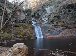
4.31.2 miGPS Coordinates: 41.187148,-74.885454Driving Directions: From 209, enter into the Delaware Water Gap and in between the 10 and 11 mile markers you will see a sign for Hornbecks Creek with a gravel road adjacent to it. Follow the road back until you reach the parking lot and the trail will be to t...Read more -
New Paltz, New York
Hike Mohonk Preserve's Gatehouse to Skytop Tower
5.09 mi / 1268 ft gainBegin at the intersection of Gatehouse Rd and Mohonk Private Rd. There is a small shoulder to park on here. Begin hiking into the preserve along the gatehouse road. There will be signs stating you need a membership or pass to enter. Don't worry about these, there will be a place on the trail ...Read more

