Nevada
Find local adventures, unique places to stay, and local adventure tours in Nevada.
Top Spots in and near Nevada
-
Churchill County, Nevada
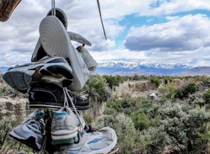
Visit the Shoe Tree of Middlegate
5.0Normally I wouldn't agree with thousands of shoes hanging from a beautiful tree, but the story behind the Middlegate Shoe Tree is too meaningful not to enjoy. The legendary story states that a young newlywed couple was camping under the tree one night and got into an argument. When the woman thre...Read more -
Pershing County, Nevada
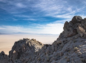
Climb Old Razorback Mountain
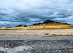
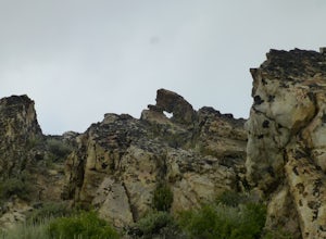
5 mi / 1650 ft gainThe trip begins by turning off Nevada highway 447 onto the unmaintained Jungo Road (county road 49) and driving 19 miles to the end of the northeast spur of the mountain at a clear turnoff and rise in the road.There is an obvious use-trail for the first 500 meters or so, and simply follow the rid...Read more -
Stateline, Nevada
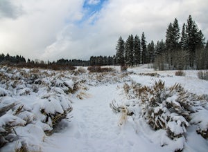
Hike the Lam Watah Trail
5.02.2 mi / 85 ft gainLam Watah Trail is a 2.2 mile out and back hike, that will take you through Lam Watah meadows and ends at Nevada Beach. I did the hike in December and although the best time to do it is May through October, I think it had more charm during the winter time. The trail head begins from the parking ...Read more -
Washoe County, Nevada
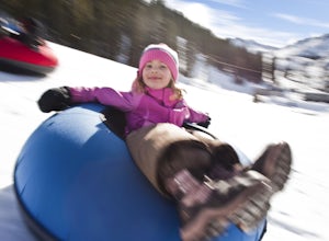
Sledding Fun for the Whole Family
5.0You can't miss this spot in the open snowfields of Tahoe Meadows. This area is not privately owned or maintained, which is perfect. It is a short drive up the Mt. Rose Highway from Reno and Sparks and there is plenty of free parking (except on super-busy days) right next to the sledding slopes an...Read more -
Boulder City, Nevada
Hike the Sunset View Trail
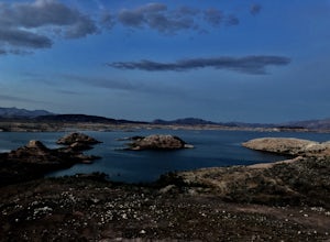
4.00.1 mi / 0 ft gainThe trail is .1 miles, and is perfect for all skill levels and for families who want to see some of the scenery in Lake Mead National Recreation Area. The trail is accessible year round and allows dogs.Read more -
Fallon, Nevada
Hike Grimes Point Archaeological Site
5.01 mi / 400 ft gainFrom Fallon, Nevada on US-Hwy 50, head east for 7 miles until you see the sign for Grimes Point on your left. The area offers mutiple miles of hiking and biking trials to small peaks overlooking the Fallon area. The main focus of the area is the historical interpretive 1/4 long petroglyphs trail....Read more -
Empire, Nevada
Soak in The Frog Pond Warm Spring
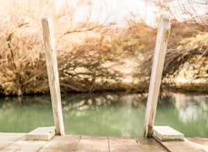
The Frog Pond on the east side of the Black Rock Desert playa just off of County Road 49 aka Jungo Road about 15 miles from Gerlach, is a more-warm-than-hot-spring with temperatures roughly in the high 90s. The trees and plants that overhang the spring create a unique microclimate that serves as ...Read more -
Carson City, Nevada
Hike to Secret Cove
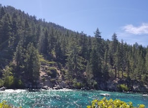
5.00.9 mi / 209 ft gainTake a short little hike down from HWY 28 to Secret Cove to relax on the beach on sunbathe on rocks. The water is incredibly clear and has different shades of turquoise. There are many rocks to climb on and the water is great for swimming. It gets crowded early, and is a nude beach, so plan accor...Read more -
Baker, Nevada
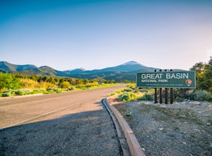
Camp at Upper Lehman Creek Campground, Great Basin NP
Great Basin National Park is located just a few miles east of the Nevada/Utah border in White Pine County. This beautiful park lies approximately 4.5 hours northeast of Las Vegas, NV and about 4 hours southwest of Salt Lake City, UT near the small town of Baker, NV. The Upper Lehman Campground is...Read more -
Incline Village, Nevada
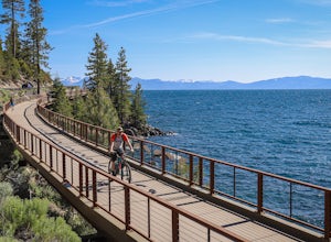
Bike or Take a Stroll along the Tahoe East Shore Trail
5.02.75 mi / 300 ft gainLake Tahoe's East Shore Trail is a wide paved walking and cycling path running between Incline Village and Sand Harbor State Park. Opened in 2019, the path lies completely separate from the road, sometimes hovering well above it on the mountainside, and other times running parallel to it on a bri...Read more -
Glenbrook, Nevada
Explore Emerald Bay by Boat from Zephyr Cove
Zephyr Cove on the eastern shore of Lake Tahoe is a fantastic starting point for a host of water sports and activities including a boat ride across Lake Tahoe to explore Emerald Bay. To get to Zephyr Cove take Highway 50 north for 7 miles out of South Lake Tahoe and turn left into the Zephyr Cove...Read more -
Baker, Nevada
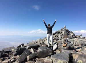
Wheeler Peak via Alpine Lakes Trailhead
8 mi / 3002 ft gainThis hike is a must-do while in Great Basin! The views from the top offer very unique 360-degree views that can't be matched anywhere else. If you're visiting Great Basin, I definitely recommend taking the time to do this hike, even though it's on the longer and more strenuous side! Wheeler Peak...Read more -
Glenbrook, Nevada
Stand Up Paddle Board Zephyr Cove
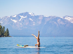
Zephyr Cove on the eastern shore of Lake Tahoe is a fantastic starting point for a host of water sports and activities and given the protected nature of the cove, a great place to do stand up paddle board. Depending on the time of year and the water level on the northern end of the beach there ar...Read more -
Humboldt County, Nevada
Hike to Granite Peak
10 mi / 3000 ft gainTo reach the trail, drive up Hinkey Summit Road from Paradise Valley (the road is pretty rough--make sure your spare tire is inflated). The trailhead is right at the top. You start off by following a road for some time, but eventually the road just ends. Supposedly there is a trail that leads to ...Read more -
Nelson, Nevada
Explore Nelson Ghost Town
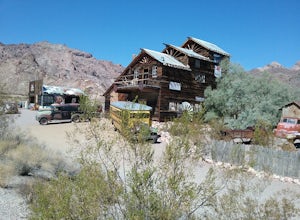
Driving from Henderson, NV, you can take the scenic HWY 165 to the Ghost Town of Nelson. Stop and check out the trading post to learn more about what you're visiting. There are lots of old buildings (some open to the public), old cars, buses, and ruins of an old mine.Read more -
Las Vegas, Nevada
Hike The Mountain Springs Trail
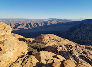
5 mi / 1012 ft gainGetting there is pretty straight forward. Take 160 west towards mountain springs and use your phone to pull up the trail head on a map. It comes up quick on the right, and is nothing more than a gravel lot with a few 4x4 trails headed out of it. There is one main trail, a vehicle path, that leav...Read more

