Nevada
Find local adventures, unique places to stay, and local adventure tours in Nevada.
Top Spots in and near Nevada
-
Las Vegas, Nevada
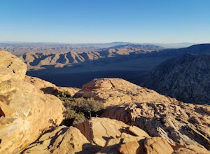
Hike The Mountain Springs Trail
5 mi / 1012 ft gainGetting there is pretty straight forward. Take 160 west towards mountain springs and use your phone to pull up the trail head on a map. It comes up quick on the right, and is nothing more than a gravel lot with a few 4x4 trails headed out of it. There is one main trail, a vehicle path, that leav...Read more -
Incline Village, Nevada
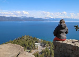
Walk to the Historic Stateline Fire Lookout site
5.01.8 mi / 340 ft gainThe hike up to the Historic Stateline Fire Lookout above Lake Tahoe's Crystal Bay area is somewhat of a misnomer, as the fire lookout no longer exists. Instead, the path, which follows a paved forest road, up to the site where the tower once stood will bring hikers to a panoramic viewpoint that l...Read more -
Reno, Nevada
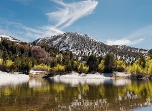
Church's Pond via the Jones-Whites Creek Trail
4.06.49 mi / 2185 ft gainFor the first 0.6 miles the trail follows a peaceful creek, before upping the steepness as it ascends the mountain sides via multiple switchbacks. At 2.5 miles in, you reach a peak that allows you to see from Reno to Washoe City; a perfectly good place for sane people to enjoy and turn back. Howe...Read more -
Humboldt County, Nevada
Hike Black Rock Point
1.5 mi / 500 ft gainOverlooking the Applegate & Overland Emigrant Trail Split, Black Rock Point is a large, dark rocky outcropping from which the Black Rock Desert derives its name. The views are perhaps the best in the entire Black Rock Desert - High Rock Canyon Emigrant Trails National Conservation Area. The h...Read more -
Mount Charleston, Nevada
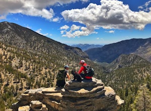
Trail Canyon in the Mt. Charleston Wilderness
3.82 mi / 1588 ft gainTHE TRAIL The Trail Canyon Trail is a 3.8 mile out-and-back moderately trafficked route located in the Mt. Charleston Wilderness located approximately 45 minutes northeast of Las Vegas, NV. This difficult trail offers access to Mt. Charleston Peak, the western side of the Mummy Mountain Trail,...Read more -
Fallon, Nevada
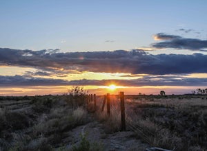
Catch a Sunset at the Stillwater National Wildlife Refuge
1 mi / 0 ft gainFrom Fallon, Nevada on US-Hwy 50, head east for 5 miles to NV-116. Turn Left onto NV-116 and take this road for 12 miles until you reach the Stillwater Wildlife Refuge. From the intersection of Stillwater Rd and Hunter Rd, you can head North on Hunter Rd, which leads to hiking trails or you can c...Read more -
Fallon, Nevada
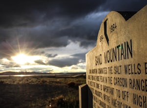
Catch a Sunset At Sand Mountain
1 mi / 600 ft gainThe Sand Dunes are located along "The Loneliest Road in America" US-Hwy 50, 85 miles east of Reno, Nevada. The 650 foot high, and almost 5,000 acres of rare dunes are literally in the middle of no where. From Fallon, Nevada on US-Hwy 50, head east for 25 miles until you see the dunes just off the...Read more -
Las Vegas, Nevada
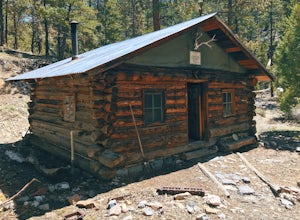
Hike to the Hidden Forest Cabin
11.37 mi / 2110 ft gainStraddling the Mojave and Great Basin Deserts, the Desert National Wildlife Refuge protects a wide variety of ecosystems across a diverse landscape. The refuge was established in 1936 in order to provide habitat for the desert bighorn sheep and other desert wildlife. Today, it is the largest wild...Read more -
Baker, Nevada
Backpack on the Baker/Johnson Lake Loop
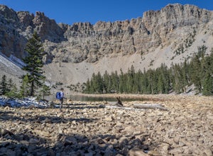
12 mi / 3300 ft gainCheck out a quieter side of Great Basin National Park by spending a night camped at Baker Lake. There are several opportunities to pitch your tent along the way, or you can choose a spot right on the shores of the lake. On the weekend we were there, there was only one other party spending the nig...Read more -
Reno, Nevada
Highland Loop Trail
2.37 mi / 453 ft gainHidden Valley Park is a large, 480-acre regional park in southeast Reno, of which 65 acres are developed that features an extensive trail network along with equestrian grounds, a dog park, playground, and numerous other features. The Highland Loop Trail is a great way to experience the park and ...Read more -
Boulder City, Nevada
Boulder Beach
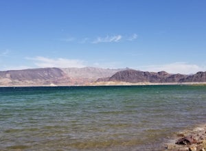
4.0Boulder Beach at Lake Mead is a great place to get your toes wet while road tripping. It's a big beach with a campground, ample parking, and ducks! The water is very clear and an amazing blue. When the wind picks up there are little waves forming, so keep that in mind if you plan on kayaking o...Read more -
Baker, Nevada
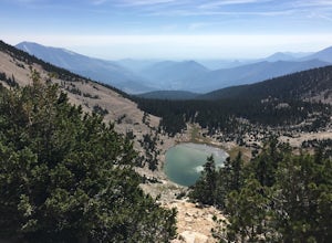
Hike to Baker Peak, Great Basin National Park
15 mi / 4000 ft gainClustered in arguably Nevada's highest mountain group, Baker Peak is the state 4th highest peak, right behind the neighboring Jeff Davis and Wheeler Peaks. Because Baker is slightly overshadowed by its neighbors, it sees very little traffic. Baker Peak is rugged, wild, and requires a long approac...Read more -
Carson City, Nevada
Kings Canyon Falls
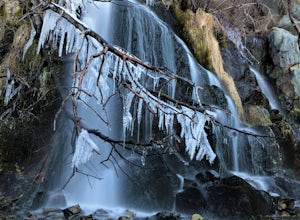
4.00.63 mi / 233 ft gain...Living in California, I know all about waterfalls! For me personally though, no matter the shape or size of the waterfall, it has my interest. Now when it comes to Nevada, I honestly can't think of too many waterfalls off the top of my head, but when you're passing through a town that you're u...Read more -
Incline Village, Nevada
Monkey Rock
4.72.64 mi / 463 ft gainMonkey Rock is an out-and-back trail that takes you by a lake located near Incline Village-Crystal Bay, Nevada.Read more -
Reno, Nevada
Hike to the Monkey Condos and Needle Rock
7.25 mi / 1600 ft gainThis loop takes hikers past several features and areas of interest hidden in the Virginia Mountains about 25 miles north of Reno. These mountains are scenic and rugged, with towering dramatic features that make visitors feel immensely small amidst them. Couple that with how few visitors these roa...Read more -
Reno, Nevada
Jones Creek Loop
1.5 mi / 335 ft gainNestled in a forested area on the eastern slope of the Sierra Nevada, Galena Creek Regional Park is seven miles up the Mt. Rose Highway from the intersection with I-580. Galena Creek flows through the park creating separate north and south portions of the park, and the Jones Creek Loop is a great...Read more

