West Yellowstone, Montana
Top Spots in and near West Yellowstone
-
Teton County, Wyoming
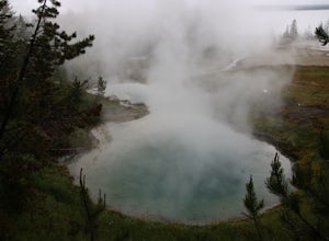
West Thumb Geyser Basin Trail is a loop trail that takes you by a lake located near Yellowstone National Park, Wyoming.
Read more
-
Gallatin Gateway, Montana
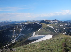
There are some different options for starting and ending this hike, but the route I did started at Buffalo Horn Trailhead and ends at the Hyalite Creek Trailhead, and is approximately 42 miles total. I did the trail over the course of three and a half days, spending three nights in the backcountr...
Read more
-
Yellowstone National Park, Wyoming
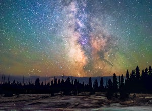
Visiting Yellowstone National Park during the daytime is enchanting; with its geysers, lake and wildlife attracting tourists and photographers from across the world. Stay after dark however, and the park takes on a magic that is as indescribable as it is dynamic. Combine this magic with clear; da...
Read more
-
Yellowstone National Park, Wyoming
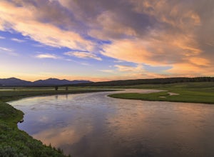
The Yellowstone river is considered one of the most scenic and beautiful in all of the United States. It's grand canyon, waterfalls, and meadows filled with wildlife are all major attractions and rightfully so as they are all beautiful places.However, catching a sunset along the meandering river'...
Read more
-
Yellowstone National Park, Wyoming
4.7
7.02 mi
/ 1680 ft gain
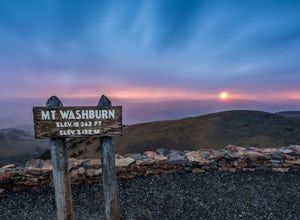
The parking lot for the Mt. Washburn Hike from Dunraven Pass trailhead is located about 5 miles north of Canyon Village along the Grand Loop Road. Since we wanted to reach the top of Mt. Washburn before sunrise, we began our hike 2 hours earlier. If you decide to attempt a sunrise hike, I highly ...
Read more
-
-
-
Ashton, Idaho
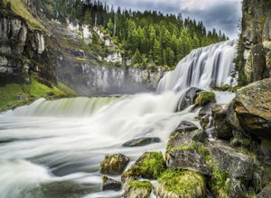
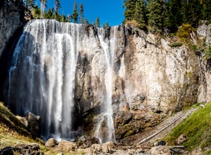
When two waterfalls have their own scenic byway, you know it is worth the additional stop. Lower Mesa Falls and Upper Mesa Falls are spectacular waterfalls along the Henrys Fork River, deep in the Grand Targhee Forest. The winding scenic byway yields some spectacular views of the Grand Targhee Fo...
Read more
-
Ashton, Idaho
5.0
2.44 mi
/ 236 ft gain
The Mesa Nature Trail begins on the dirt road to the Upper Mesa Falls overflow parking lot. The first mile of the trail is wide and smooth. Pause a half mile in to admire the Henry's Fork from the top of a lava field.
The trail terminates at a flat bluff overlooking the top of Upper Mesa Falls. ...
Read more
-
Yellowstone National Park, Wyoming
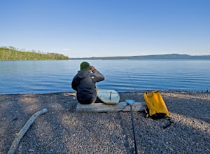
It is something fantastic if you know how to use a standup paddle board. Being able to paddle from one lake to another where no roads can reach via a small channel with natural geysers going off and trout rising to morning and afternoon flies.
The water being, in some parts, very warm because of...
Read more
-
Yellowstone National Park, Wyoming
4.5
16.56 mi
/ 771 ft gain
You'll start at the Bechler Ranger Station and take the Boundry Creek Trail. Depending on which camp site you reserve your hike will be anywhere from 5-9 miles. We camped at site 9A1 5 miles from the ranger station. Hiking to waterfall is 16+ miles round trip
Your feet will get wet on this hike,...
Read more
-
Yellowstone National Park, Wyoming
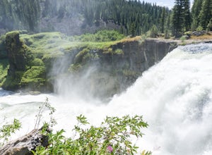
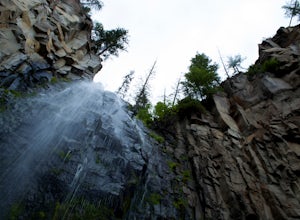
If you are coming into Yellowstone National Park from the South Entrance Road (also known as Highway 89) be prepared to stop minutes before Lewis Lake to hike to this waterfall. After crossing the bridge over the Lewis River pull over on the right hand side of the road, there should be plenty of ...
Read more
-
Yellowstone National Park, Wyoming
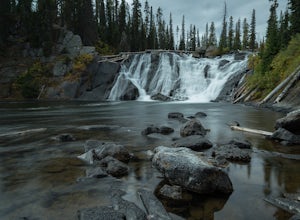
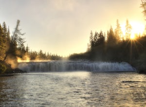
Cave Falls is one of the hidden waterfalls of Yellowstone National Park that really only the natives know about. Although Cave Falls originally derived its name from a cave next to the waterfall, the cave has since collapsed and is no longer accessible. Known for its enormous length of 250 feet, ...
Read more
-
Yellowstone National Park, Wyoming
This 1 mile hike begins behind the Roosevelt Lodge in the Tower-Roosevelt area of Yellowstone. There is plenty of parking in the area. After you park your car start heading behind the gift shop. Once you find the trail, hike about a tenth of a mile to a bulletin board. The trail here splits in tw...
Read more
-
Park County, Wyoming
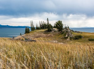
This short 2.5-mile loop hike on the Storm Point Trail begins right in front of Indian Pond on the East Entrance Road of Yellowstone National Park. You can park your car at the pull-out area, and you will see a sign identifying the trailhead. One of the coolest things about this trail is the diff...
Read more
-
Alta, Wyoming
5.0
15.42 mi
/ 1755 ft gain
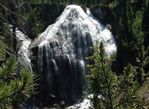
Of a summer spent living in Yellowstone, and many overnight trips in the park, the trek to Union Falls and Scout Pool ranked at the top of my list. (Many of my fellow gas station employees agreed!) The hike itself is nothing spectacular, but takes you to two of the most beautiful places in the pa...
Read more

