West Yellowstone, Montana
Top Spots in and near West Yellowstone
-
Yellowstone National Park, Wyoming
4.6
1.05 mi
/ 105 ft gain
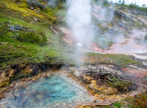
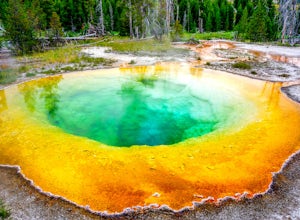
From the parking lot, follow the boardwalk pathway until you reach the springs. The hike itself is pretty self explanatory. It is a very easy hike and very short. We did this hike to break up some of the driving through Yellowstone. The hike loops around the springs and comes back to the parking ...
Read more
-
Island Park, Idaho
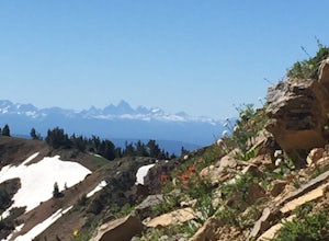
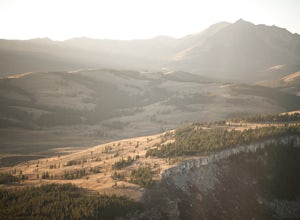
This out-and-back hike to the highest point in the Centennial mountains of Idaho and Montana skirts the continental divide and provides stunning views of both states. From U.S. Highway 20, Sawtell Peak Road heads west, winding back and forth up the south side of Sawtell Peak. Because there is a...
Read more
-
West Yellowstone, Montana
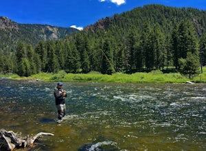
The Madison River runs for 183 miles through Wyoming and Montana; however, this section of the Madison is between Hebgen Lake and Earthquake Lake. You get there by driving along Hebgen Lake Road to the Campfire Lodge Resort. Turn into here and head down the dirt road to your right (Ghost Village ...
Read more
-
Yellowstone National Park, Wyoming
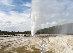
Located in the Upper Geyser Basin along the banks of the Firehole River is the world famous Old Faithful geyser which is typically seen as a "must do" on any trip to Yellowstone National Park. While at the famous geyser a small portion of visitors each year are lucky enough to happen upon the er...
Read more
-
Yellowstone National Park, Wyoming
Starting at the Old Faithful Visitor Center, you can follow a flat, meandering path along the Firehole River to view several different geysers and geothermal features.
The trail begins on an accessible, paved path but then changes to well-maintained gravel. Depending on the time and energy you h...
Read more
-
Yellowstone National Park, Wyoming
Starting at the Old Faithful Lodge, which is a sight to see in itself, several trails start out heading away the actual Old Faithful geyser. You can take either one as they form a loop so you will eventually end up back where you started. It is a combination of dirt trails and wooden walkways tha...
Read more
-
Yellowstone National Park, Wyoming
While Old Faithful is familiar to many, winter there is an entirely different experience. If you are interested in less crowds, a once in a lifetime experience and an area accessible only by snow coach, this area in winter is for you.There are ski and snowshoe trails all over the area and you can...
Read more
-
-
-
Gallatin Gateway, Montana
The trail down Bacon Rind Creek starts along HWY 191, between West Yellowstone and Big Sky. The trail starts at about 7,000 feet of elevation and the first two miles of trail are located inside Yellowstone National Park. The trail then continues through the Lee Metcalf Wilderness and will climb s...
Read more
-
44.444708,-110.804603
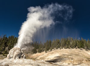
Lone Star Geyser gets its name from being one the most isolated major geysers. The trailhead begins just south of Old Faithful, along the Loop Road. This trail follows the Firehole River for 2.5 miles along an old service road, through a mix of wooded areas and open meadows. Wildlife spotting is ...
Read more
-
Island Park, Idaho
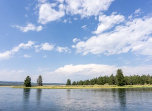
Don't be confused by Island Park Dam or the map location "Henry's Fork." This little spot is right on the actual fork in the river, but since most people don't know about it, you'll probably have it all to yourself!
Once you park, walk down to the dam bridge. From there you can take in the scener...
Read more
-
Yellowstone National Park, Wyoming
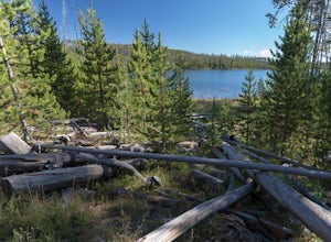
The trailhead for Ice Lake starts at a small parking area along the Norris-Canyon Road, at around 8,000 feet elevation.The trail is very flat, with no noticeable elevation gain. This is a very family friendly hike, perfect for kids introduction to backpacking with such a short hike in.You'll noti...
Read more
-
Madison County, Montana
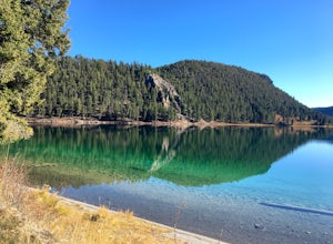
Wade Lake Campground is a gorgeous campground, situated right on the crystal clear blue waters of Wade Lake. It has a handful of maintained sites, as well as a vault toilet. You can easily car camp here, though you may want to be careful on the road in if you're hauling a camper.
The beauty of t...
Read more
-
Yellowstone National Park, Wyoming
5.0
4.24 mi
/ 1286 ft gain
From Mammoth Hot Springs drive south of US-89 approximately 4.8 miles towards Norris Junction. The trailhead is on the left as you exit Golden Gate Canyon. After about 100 yards on the trail, take the left fork and from there on the trail is well marked out to the top. Sunset and Sunrise are grea...
Read more
-
Island Park, Idaho
Located at 6,100 feet above sea level, Harriman State Park (also called "the Ranch") is renown for it's fly fishing along the Henry's Fork. Whether you bring a fly rod or not, this scenic loop through the park is a delight for hikers of all abilities.Make a stop at park headquarters to pay the en...
Read more

