Lampe, Missouri
Top Spots in and near Lampe
-
Eureka Springs, Arkansas
Black Bass Lake Trail
4.51.85 mi / 338 ft gainBlack Bass Lake Trail is a loop trail that is good for all skill levels located near Eureka Springs, Arkansas.Read more -
Huntsville, Arkansas
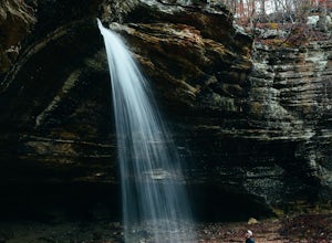
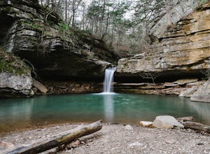
Tea Kettle Falls Trail
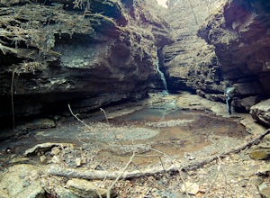
3.22.97 mi / 289 ft gainFinding Tea Kettle Falls is the most challenging part of this adventure. The trailhead is located in the McIlroy-Madison County Wildlife Management Area in northwest Arkansas. From Forum, travel 6.5 miles north on Hwy 23 to gravel road #447. It is approximately 13 miles south of Eureka Springs ...Read more -
Huntsville, Arkansas
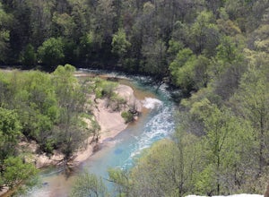
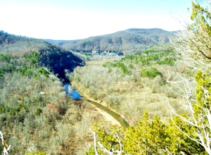
Kings River Overlook
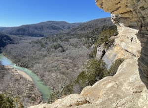
5.01.2 mi / 145 ft gainThis is a great family hike short enough for little ones but with enough features to keep little ones engaged. From the parking area, it's about .6 miles on a relatively flat, well-marked trial to the overlook. (Plenty of room to step off trail for social distancing) We went in April with thre...Read more -
Highlandville, Missouri
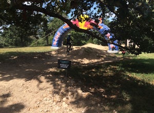
Ride the Slopestyle Course at Two Rivers
Located just about 20 minutes outside of Springfield, Missouri these are the best slopestyle courses you will find in Missouri. These courses start at the top of a service road that leads out of the parking lot. There are tons of great features such as wall rides, berms, and tabletops. There are...Read more -
Rogers, Arkansas
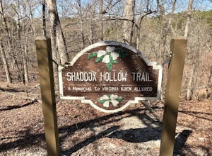
Shaddox Hollow Nature Trail
5.01.42 mi / 318 ft gainShaddox Hollow Nature Trail is a loop trail that takes you by a lake located near Rogers, Arkansas.Read more -
Harrison, Arkansas
Hike to Paige Falls and Broadwater Hollow Falls
5.00.5 mi / 100 ft gainAlthough there is no official trailhead, Paige and Broadwater Hollow Falls can be accessed off of NC 2660 in Compton, Arkansas. Once on NC 2660, head straight down this rugged gravel road for approximately 2 miles. Soon you’ll reach a sharp bend to the left with a small parking area just before...Read more -
Compton, Arkansas
Hemmed In Hollow Falls via Hemmed In Hollow Trail
5.05.78 mi / 1572 ft gainAfter parking at the Hemmed In Hollow Falls Trailhead, follow the path down as it descends into the valley. As you approach one of the vistas, you’ll be able to spot the emerald green waters of the Buffalo River, as well as the bluffs to your east where the waterfall hides. After reaching the va...Read more -
Compton, Arkansas
Hike to Scenic Big Bluff
5.06 miThe hike starts at the Centerpoint Trailhead and follows a clearly defined trail for 3 miles (approximately one hour) with mostly downhill or flat terrain and views through the trees of the rolling Ozark landscape. When you are almost to Big Bluff, the trail opens up into a large round area with ...Read more -
Compton, Arkansas
Big Bluff via the Centerpoint Trailhead
4.96.21 mi / 991 ft gainThis adventure begins at the Counterpoint Trailhead just north of Ponca, AR. Follow the trail downhill for about 2.7 miles until you reach a split in the trail. Take the trail off to the right and follow it for another .5 miles until you reach the Big Bluff area. There is a lot of area to expl...Read more -
Compton, Arkansas
Backpacking Along the Buffalo River
5.012 miPark at the Centerpoint Trailhead and follow the Centerpoint trail as it heads about 3 miles downhill towards Big Bluff. You’ll know you’ve reached the trail junction for Big Bluff when you come to a clearing that has a large firepit in the middle and a small unmaintained trail heading off to the...Read more -
Compton, Arkansas
Centerpoint to Goat Trail
5.82 mi / 1001 ft gainCenterpoint to Goat Trail is an out-and-back trail that takes you by a river located near Ponca, Arkansas.Read more -
Rogers, Arkansas
Camp at Horseshoe Bend Campground, AR
4.0The campground has several sites along the shores of Beaver Lake. Its restrooms are clean and include free hot showers. The campground does not provide firewood. However, you are allowed to pick firewood from the surrounding woods. If there has been recent rainfall you’ll need to buy firewood ...Read more -
Harrison, Arkansas
Backpacking Cecil Creek
5.08 miFrom Tulsa, head out east along US-412 until you reach HWY 103. Take a right (south) on HWY 103 and follow it toward Compton, Arkansas. Shortly before reaching Compton, take the dirt road on the right (before the road starts to head north), and follow the road south. Keep on it as it bends to the...Read more -
Harrison, Arkansas
Hike to Hideout Hollow
4.02 miAfter parking at the trailhead, head down the well-trodden path and follow it the 0.85 miles downhill to the overlook. Once you are at the overlook, go left and follow the path as it loops around the top of the overhang. You’ll arrive at a small creek (which creates the waterfall that flows into ...Read more -
Harrison, Arkansas
Indian Creek to The Eye Of The Needle
5.04.27 mi / 705 ft gainStarting at approx. 900' in elevation, this 5 mile out and back hike ascends 700' in elevation to 1,400 at the highest point- The Eye of The Needle. The trail head is located next to the Buffalo River sign at Kyles Landing on the West side of the campground. You will follow the trail less than ...Read more -
Harrison, Arkansas
Camp at Kyle's Landing
5.0Kyles Landing is located directly beside the beautiful Buffalo river, hardly a stone's throw from the cool refreshing water. With huge bluffs soaring over 400ft into the air, multiple hiking trails available, and access to the river itself, the campground is a perfect weekend getaway to get outsi...Read more
Top Activities
Camping and Lodging in Lampe
Shell Knob, Missouri
Baxter
Overview
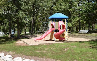
Baxter is a spacious and sunny campground that sits along the White River Arm of Table Rock Lake.The highly productive fishing ...
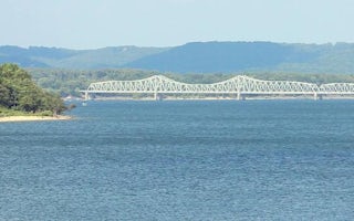
1236 State Highway RB
Mill Creek (Missouri)
Overview
Mill Creek is a spacious and sunny campground on the White River Arm of Table Rock Lake in the Missouri countryside.Many campsit...
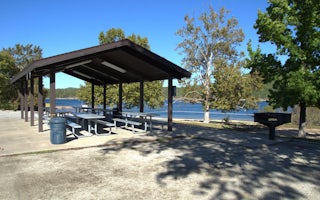
Shell Knob, Missouri
Campbell Point
Overview
Campbell Point is a spacious and shady campground that sits along the White River Arm of Table Rock Lake. Plenty of soft, grassy...
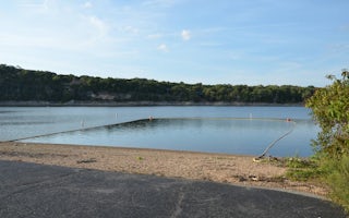
Shell Knob, Missouri
Viola
Overview
Viola sits along the Kings River Arm of Table Rock Lake in the Missouri countryside. Boaters and water sports enthusiasts are pa...
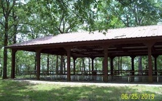
Shell Knob, Missouri
Shell Knob Rec Site Pavilion
Overview
Shell Knob Recreation Site is situated along a bluff overlooking the White River arm of beautiful Table Rock Lake, in an unincor...
Reeds Spring, Missouri
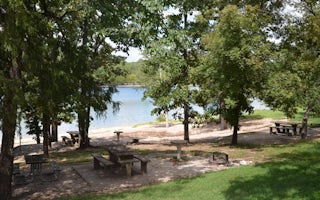
Aunts Creek
Overview
Aunts Creek campground is located on the James River Arm of Table Rock Lake. With easy access to the highly productive waters of...

