Mount Vernon, Kentucky
Looking for the best photography in Mount Vernon? We've got you covered with the top trails, trips, hiking, backpacking, camping and more around Mount Vernon. The detailed guides, photos, and reviews are all submitted by the Outbound community.
Top Photography Spots in and near Mount Vernon
-
Berea, Kentucky
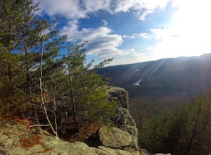
Hike the Pinnacles in Berea
4.96.59 mi / 1014 ft gainThis is a trip with multiple sites to visit over the course of a day. Visiting all five would equal around 5 miles, or you can choose to only go to one, as there are some slightly strenuous hills. The most visited is the Main Lookout, and the West Pinnacle offers a little rock climbing. Between ...Read more -
McKee, Kentucky
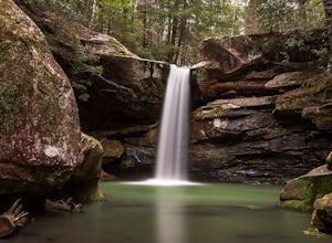
Explore Flat Lick Falls
5.00.5 miThe hike begins at the parking area, just before the restrooms. Following a short, paved path will bring you to a small overlook of Flat Lick Falls. While this overlook is nice, the real treat comes when you venture to the base of the falls. Look for a small dirt path to the right of the overlook...Read more -
London, Kentucky
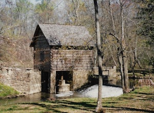
Explore Levi Jackson Wilderness Road State Park
4.0This park is small but has about 8.5 miles of hiking trails. I hiked section of the Wilderness Trail and section of the Boone Trace trail. Visited the Defeated Camp Burial Grounds and spent a good amount of time in the pioneer museum looking at all the artifacts. Also visited Mc Hargues Mill whic...Read more -
Corbin, Kentucky
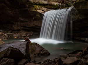
Dog Slaughter Falls
4.02.32 mi / 417 ft gainGetting There When headed towards Cumberland Falls State Resort Park on Kentucky-90, watch for a gravel forest service road on the right (FS-195). The Dog Slaughter Falls Trail has two trailheads along this road. The first one is about 0.8 miles down the gravel road, but I'm going to suggest t...Read more -
Williamsburg, Kentucky
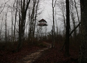
Pinnacle Knob Fire Tower
5.01.46 mi / 105 ft gainThe trial-head for this hike had a very small parking area but there is some extra parking on down the road where you can park then walk to the start. The trail starts relatively flat with a small incline. As you go on it climbs slowly until you reach the steps that start the accent. There are ab...Read more -
McCreary County, Kentucky
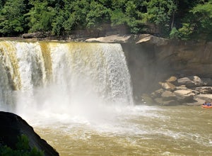
Photograph Cumberland Falls
5.0The Cumberland Falls State Resort Park is home to several waterfalls, with the Cumberland Falls being the largest, most prominent, and most well known. It is also called the Niagara of the South due to its size and volume of water flow. It is famous for being the only place in the Western Hemisph...Read more -
Parkers Lake, Kentucky
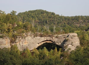
Hike to Natural Arch in Daniel Boone National Forest
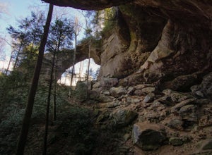
1 mi / 300 ft gainNatural Arch is located in the Daniel Boone National Forest near the border of Tennessee and Kentucky. Once you get inside of the park there are many picnic tables and other areas to eat and sit and paths to walk on. The main attraction of the park however is the 100 foot wide arch that spans ove...Read more -
Beattyville, Kentucky
Climb at the Motherlode in Red River Gorge
1.2 miThese directions are similar to those marked in the Red River Gorge Climbing Guide. Be sure to pick one up at Miguel's Pizza or elsewhere to get a good idea of where all of the crags and climbing routes are. This adventure is to the Volunteer Wall and The Gallery crags. The parking lot is marked...Read more -
Wilmore, Kentucky
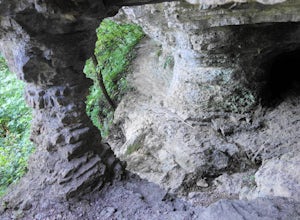
Hike to the Cave at Asbury Trails
4.01 mi / 430 ft gainThe Asbury University trail system is located just south of Wilmore, KY along the lush emerald banks of the Kentucky River. Leisurely looping through the luscious limestone landmasses of the Kentucky bluegrass region, the trails at Asbury offer visitors an opportunity to obtain up-close understan...Read more -
Slade, Kentucky
Hike the Indian Staircase Loop and Cloudsplitter
5.010 miStarting at the Bison Way Trailhead #210. You'll take this until you come to the intersection of the Sheltowee Trace Trail #100. Go left. You're going to turn right on the unmarked trail just past the sign that says stay on trail. This is quite the incline. Keeping going until you get to the base...Read more -
Stanton, Kentucky
Hike to Courthouse Rock and Double Arch
5.06.1 miStart at the trailhead located just past the Gray's Arch picnic area. Follow Auxier Ridge Trail #204 (white diamonds). You will pass a trail junction at 0.9 miles, but continue on Auxier Ridge. At the following fork in the trail keep right.Along the trail, you will catch views from the ridge of R...Read more -
Stanton, Kentucky
Hike the Auxier Ridge Trail, KY
5.04 mi / 1300 ft gainThis can be done as a quick hike, or as an overnighter so you can catch both sunset and sunrise. Park at the Auxier Ridge Trailhead and take the Auxier Ridge Trail (#204). Do NOT take the branch on the left for the Courthouse Rock Trail (#202), which you will see after about 1 mile. In about 2...Read more -
Stanton, Kentucky
Hike to Gray's Arch
5.03.3 miThe trail approaches the arch through a ravine, passing by cliffs, dense forest, and a stream (Kings Branch) en route.Read more

