Yorkville, Illinois
Looking for the best running in Yorkville? We've got you covered with the top trails, trips, hiking, backpacking, camping and more around Yorkville. The detailed guides, photos, and reviews are all submitted by the Outbound community.
Top Running Spots in and near Yorkville
-
Warrenville, Illinois
Herrick Lake Trail
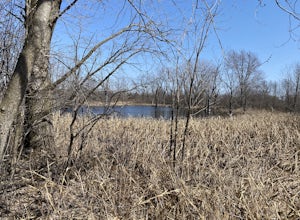
4.08.2 mi / 390 ft gainThis is an easy trail for beginners, with a packed gravel clearly-marked trail shared by walkers, runners, bicyclists, and even horses (the trail is next to Denada Equestrian Center). Gently sloping trails lead through prairie land, next to small ponds filled with singing frogs, some wooded are...Read more -
Joliet, Illinois
Hike the Joliet Iron Works Historic Site Trails Loop
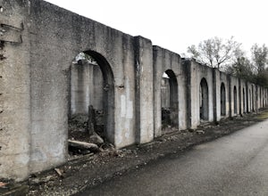
4.01.3 mi / 26 ft gainThe Joliet Iron Works Historic Site Trail is typically used for hiking, walking, and birding. If you want to amp up your hike, hop on the Illinois and Michigan Canal Trail, an 11 mile trail connecting the iron works to the Romeoville Prairie Nature Preserve.Read more -
Joliet, Illinois
Joliet Iron Works Historic Site Trail
1.42 mi / 10 ft gainJoliet Iron Works Historic Site Trail is a loop trail that is good for all skill levels located near Joliet, Illinois.Read more -
Elwood, Illinois
Buffalo Viewing Trail
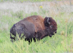
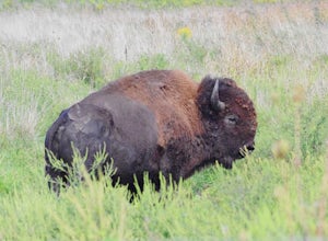
5.03.65 mi / 72 ft gainThe trail features chances to see bison, and scenic wild flowers. The Buffalo Viewing Trail is in Midewin National Tallgrass Prairie, and is open year-round. Dogs are allowed on this trail but must be kept on leash. Old army bunkers are scattered along the trail. The trail winds through a prairi...Read more -
Wilmington, Illinois
Hike the Twin Oaks and Bunker Field Trail
4.2 mi / 85 ft gainThe trail is open for use year-round, and is great for snowshoeing in winter months. This trail allows dogs, but please keep your dog on a leash throughout the duration to avoid disturbing the wonderful bison. Be weary of ticks - bring bug spray for you and your dog.Read more -
Willow Springs, Illinois
Saganashkee Slough
5.06.92 mi / 512 ft gainSaganashkee Slough is a loop trail that takes you by a lake located near Lemont, Illinois.Read more -
Oak Brook, Illinois
Run the Fullersburg Woods Loop
4.76 miThis is a six-mile loop along the banks of the Salt Creek in Oakbrook, IL. The flat trail features trees and wildflowers (great walk to do in autumn). Trail is also good for bike riders. There is a picnic area and the Graue Mill and Museum. Graue Mill is 150 years old and played a part in the Und...Read more -
Willow Springs, Illinois
Cemetery Hill
2 mi / 100 ft gainJust outside of Chicago the Palos Region of the Cook County Forest Preserve offers a few thousand acres of dirt single track and limestone paths. Here you will find rolling hills and bluff that will rev up your hill workouts. This single track loop is great for mountain biking and trail running...Read more -
Palos Park, Illinois
Hike the Cap Sauers and Swallow Cliff Loop
3.04.74 mi / 259 ft gainThe Swallows Cliff Woods, an 800 acre preserve, is known for its 100 ft bluff that provides visitors with a steep stair workout. On top of the bluff, however, there are less strenuous trail options, leading through the hilly, forested terrain, past wetlands and streams.Read more -
Brookfield, Illinois
Salt Creek Greenway Trail
13.99 mi / 551 ft gainThis trail is almost 7 miles one-way (14 miles out-and-back) of paved path, makes for an ideal biking (especially those of us with road bikes), skating, and even running path. The trail runs out-and-back along the Salt Creek in Brookfield, IL. The trailhead is right near the Brookfield Zoo (for a...Read more -
Oglesby, Illinois
Hike to Starved Rock's La Salle Canyon
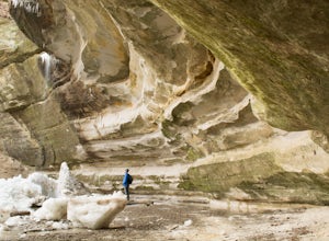
4.34.4 mi / 370 ft gainThis out-and-back trail is one of the parks longest trails. Starting from the visitors center it is 2.2 mile hike one way and 4.4 miles if you go out and back. The trail is very much worth the long trek. You enjoy the views and fresh air of the Illinois river. You will also walk past the Illinois...Read more -
Oglesby, Illinois
Hike Starved Rock's French Canyon
4.50.4 miStarting from the visitors center or the parks restaurant, depending on where you parked. If you were forced to park by the restaurant because of a busy day, you will start the trail head with a map of the park. You will follow the tallest stairs of the park down to the visitors center where the ...Read more -
Oglesby, Illinois
Hike Ottawa Canyon at Starved Rock State Park
5.03.9 miThis canyon is not as popular as some of the others in this park but it is my favorite by far. You can either hike the full 3.9 miles from the visitor center or you can jump in your car and head over to one of the parking lots on the east side for a shorter hike. Either way you will not be disap...Read more -
Chicago, Illinois
Millennium Park Trail
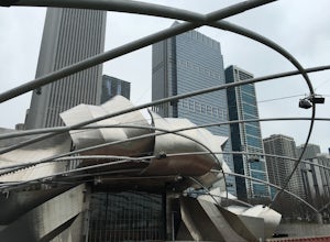
5.00.63 mi / 26 ft gainMillennium Park Trail is a loop trail that takes you past scenic surroundings located near Chicago, Illinois.Read more -
Chicago, Illinois
Luire Garden
0.18 mi / 10 ft gainVisiting Chicago I was on a mission to find a great outdoors spot to be in. This definitely fulfilled my goal of finding a beautiful garden to hangout in! There are plenty of different paths and areas to explore just within the city! Location Located in Millennium Park it will be easy to find,...Read more -
Chicago, Illinois
Lakeshore Path: North Ave Beach to Navy Pier
1.84 mi / 72 ft gainLakeshore Path: North Ave Beach to Navy Pier is a point-to-point trail that takes you past scenic surroundings located near Chicago, Illinois.Read more

