Benton, Illinois
Looking for the best photography in Benton? We've got you covered with the top trails, trips, hiking, backpacking, camping and more around Benton. The detailed guides, photos, and reviews are all submitted by the Outbound community.
Top Photography Spots in and near Benton
-
Makanda, Illinois
Hike Rocky Bluff Trail
1.7 mi / 157 ft gainRocky Bluff Trail in Southern Illinois is part of the Crab Orchard Wildlife Refuge near Carbondale. It's a relatively easy loop hike at 1.7 miles. This trail is not stroller or disability friendly. The parking lot is small and requires a $2.00 daily use tag you can obtain at the Crab Orchard Wild...Read more -
Makanda, Illinois
Camp at Little Grassy Lake Campground
Located within Crab Orchard National Wildlife Refuge and along one of the most scenic lakes within the Shawnee Hills of Southern Illinois Little Grassy Lake Campground is a awesome place to camp for a night or a whole week. There are 14 full hook up campsites. 54 sites have water and electric acc...Read more -
Makanda, Illinois
Trillium Trail
1.22 mi / 253 ft gainThe natural area you are now entering is 110 acres of bluffs and forest designated as Fern Rocks Nature Preserve. The reasons this was designated a preserve were to protect not only the sandstone bluffs, but also two endangered plants. The white flowered mint, and the grove bluegrass. many other ...Read more -
Cobden, Illinois
Hike Indian Creek Trail
0.75 mi / 65 ft gainThis wandering intermittent creek inside of Giant City State Park only flows in periods of heavy rain or after snow melts. Prior to a confluence with Drury Creek, the path comes to a mid sized shelter bluff wall. What this shelter lacks in sheer size, it made up for in importance to Native Americ...Read more -
Makanda, Illinois
Hike the Giant City Nature Trail
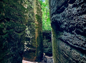
1.1 mi / 125 ft gainPioneers had not seen skyscrapers, so these sheer bluffs seemed like the “streets of a giant city” to them. Thus became the naming of a pinnacle state park in Illinois. Giant City State Park is a paradise for hikers, climbers, campers, and lovers of nature. Parts of the park reminds you of the Mi...Read more -
Makanda, Illinois
Explore the Giant City Lodge and Water Tower
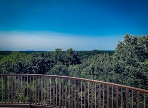
0.25 miLike the rest of the park, the Giant City Lodge was built by the Civilian Conservation Corps (CCC) in the 1930's. The lodge's architecture will remind someone of great lodges of the West with its hardwood timber and sandstone blend that has a two story fireplace and rotunda to enjoy one of the be...Read more -
Goreville, Illinois
Hike Big Rocky Hollow Trail
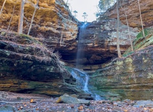
0.5 mi / 63 ft gainA great short hike in Ferne Clyffe State Park with a big payoff that is nearly wheel chair accessible with compact crushed gravel as a path. The trail leads to a 100-foot tall intermittent waterfall. The trail is lined with huge boulders, meandering stream, and progressively narrowing canyon beco...Read more -
Goreville, Illinois
Hike to Hawk's Cave
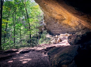
0.75 mi / 56 ft gainOne of the top trails within Fern Clyffe State Park, Hawk's Cave is an impressive 150 foot sandstone shelter bluff. When beginning the trail from the parking lot, there is a fork of three separate trail heads. Take the path to the left and follow the loop up to a rock wall of shelters, honeycomb ...Read more -
Goreville, Illinois
Hike the Round Bluff Nature Preserve
5.01.25 mi / 185 ft gainJust south of the Lakeview Picnic Shelter is the 53-acre Round Bluff Nature Preserve. Round Bluff has been designated a nature preserve which means that you are only allowed to hike on maintained trails. This is an isolated area of the massive sandstones that form the canyons of Ferne Clyffe Stat...Read more -
Goreville, Illinois
Hike to Bork's Falls
0.5 mi / 227 ft gainLocated off Regent Lane/Cedar Grove Road near Goreville, Illinois, Bork's Falls is a beautiful waterfall with little visitor traffic. The bottom of the falls is accessible from either side of the ravine with a very short hike. This waterfall generally flows year round, unlike most other waterfall...Read more -
Gorham, Illinois
Explore Kindcaid Lake Spillway
One of Illinois' best kept secrets, the Kincaid Lake Spillway is a awesome swimming hole just outside of Murphysboro. The three level cascade makes for a great place to spend a hot summer day. People sit, splash, or even slide down the tiers into the pools below. There is a small side trail that...Read more -
Pomona, Illinois
Hike to Pomona Natural Bridge
0.5 mi / 68 ft gainThe Pomona Natural Bridge located in Pomona Illinois is a great hike for most ages. Starting on a scenic drive from the small town of Pomona, there is ample parking at the trailhead. The hiking trail is easily identified with its gravel path and sign. The trail begins at the top of a hill then d...Read more -
Stonefort, Illinois
Hike to Burden Falls
4.00.8 miLocated in the Shawnee National Forest near Stonefort, Burden Falls, though perhaps small by other standards, is among the highest in Illinois. There are many side trails to explore, making this a great spot for birders and photographers. The hike is a 0.8 mile moderately rated loop trail. Thoug...Read more -
Ozark, Illinois
Explore Camp Ondessonk
10 miIn the heart of the Shawnee National Forest is an amazing camp that provides many adventures for those with all skill levels. When camp is out, anyone is allowed to visit Camp Ondessonk as a guest and explore. There are over 10 miles of trails through pristine forests, sandstone canyons, and sev...Read more -
Ozark, Illinois
Hike Bell Smiths Springs
1.5 mi / 164 ft gainFour separate trails make up the 8 miles of available hikes in the Bell Smith Springs National Natural Landmark. The dirt trails can be moderate to difficult in some areas. Please, stay on designated trails. The trails pass under large shelter bluffs and various rock formations while offering vie...Read more -
Simpson, Illinois
Hike & Climb at Jackson Falls
4.5 mi / 410 ft gainThe road into Jackson Falls is rough and sometimes has washouts. A high clearance or 4x4 vehicle are almost required. Once you reach the parking or primitive camping area, take the short path to the top of the falls. It is close to only a 0.25 miles. This will give you a visual of the rest of the...Read more

