Idaho
Looking for the best backpacking in Idaho? We've got you covered with the top trails, trips, hiking, backpacking, camping and more around Idaho. The detailed guides, photos, and reviews are all submitted by the Outbound community.
Top Backpacking Spots in and near Idaho
-
Lowman, Idaho
Scramble Up Decker Peak
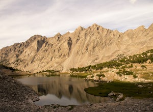
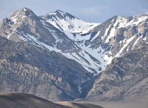
14.4 mi / 3990 ft gainThis can be a day trip or, if you want to take your time and relax after the climb, backpack in and camp at Hell Roaring Lake on the night before and after the climb. Begin your journey at Hell Roaring Lake Trailhead. From Stanley, drive on ID-75 south for 12 miles, turn west at Decker Flat, and ...Read more -
Bonners Ferry, Idaho
Two Mouth Lakes
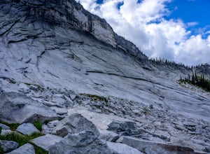
4.59.22 mi / 2037 ft gainStart at Two Mouth Trail #268 as it goes north along an old logging road. The trail then heads west following Peak Creek before bending back to the south. The trail narrows, alternating between dirt and boardwalk, while meandering west toward a viewpoint of the giant granite slabs of the Selkirk ...Read more -
Stanley, Idaho
Hike to 4th of July Lake
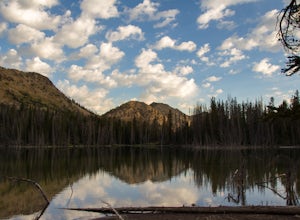
3.6 mi / 900 ft gainThis is an easy, yet breathtakingly beautiful hike. After the fun adventure of the 10.2 mile extra bumpy dirt road to the trail head the hike in is simple. 4 Wheel drive and a spare tire are advised, I got a flat. The drive in through old burned forest area is a cool drive on its own. At the end ...Read more -
Stanley, Idaho
Born Lakes via 4th of July Lake Trailhead
4.08.17 mi / 1736 ft gainDue to it's higher-than-average starting point, many backpackers use this trailhead to access the remote parts of the Boulder-White Cloud wilderness. The trailhead for this hike, nestled at 8850', is readily accessible by Prius and Jeep alike as the gravel road is well maintained, notwithstanding...Read more -
Boise County, Idaho
Snowshoe to Skyline Yurt
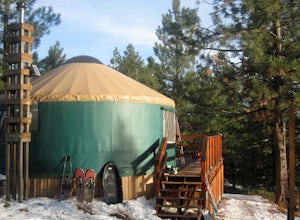
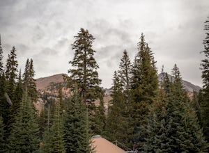
5.05 mi / 650 ft gainThis is one of many great Idaho Parks & Rec backcountry yurts. It sits on a ridge above some excellent tree skiing with views that make the hike well worth it! The wood stove will keep you warm on the coldest of nights, and the kitchen has all the utensils to make a delicious meal. Depending ...Read more -
Mackay, Idaho
Hike to Bear Creek Lake
5.06 mi / 1600 ft gainThe trailhead starts at the end of an old jeep trail. If you are brave with your 4 wheel drive you can drive to here and cut 1.4 miles off your hike. My mile counting started at the trail head. The trail is very well marked. At about 0.3 miles it crosses Bear Creek. In the summer this will often ...Read more -
Pollock, Idaho
Hike to Upper Hazard Lake via Hard Creek
5.04.8 mi / 500 ft gainTrail 169 starts out of a small campground off Hazard Lake road. To get to the trailhead, you leave paved roads for about 15 miles of travel on a gravel road, fit for any vehicle - no worries Prius. The campground seems like a suspiciously unofficial campground (nothing wrong with that) but also ...Read more -
Lowman, Idaho
Ski or Snowshoe to Stargaze Yurt
2.6 mi / 549 ft gainGaze at the stars on a crisp night from one of Idaho Park & Rec's best backcountry yurts! Cook a meal in the middle of nowhere with all of the provided utensils. Sleep to the glow of a crackling wood fire as the cozy stove keeps you warm through the night.The adventure begins at Beaver Cree...Read more -
Naples, Idaho
Hike the Harrison to Beehive Lake Lower Traverse
9.5 mi / 3000 ft gainYou will follow the Pack River Road no. 231 for about 21 miles until you reach the trailhead. For this loop, you have a few options: Leave your car at the Beehive Lake trailhead and walk to Harrison Lake trailhead so when you are done you can jump right in the car, leave your car at the Harrison ...Read more -
Mackay, Idaho
Backpack through Surprise Valley to Lake 10148
4.013 mi / 2900 ft gainI have a hard time getting the word "legendary" out of my mind when referencing this hike. I liked it that much. The trailhead begins at 7200'; be prepared to drive 20 miles on a maintained gravel road to get there. The first 3 miles of this out-and-back hike are pretty flat, meandering through ...Read more -
Hailey, Idaho
Pioneer Yurt via Hyndman Creek Trail
6.91 mi / 1650 ft gainThis trek starts about 25 minutes from Ketchum, Idaho at the Hyndman Creek Trailhead. As a general rule of thumb, Sun Valley is a great place to be in the fall, and this adventure is no different. The hike itself follows the beautiful Hyndman Creek and is only about 3.5 miles, but the daunting st...Read more -
Ketchum, Idaho
Hike to Prairie and Miner Lakes
4.010 mi / 1975 ft gainThe 7200' trailhead is suitable for any vehicle to arrival. In fact, this trail head may be the most suitable that I've seen in Idaho, with only a few miles on a gravel road.See this detailed Caltopo map for a better understanding of this route.This trail isn't an exact loop, but rather more of a...Read more -
Kooskia, Idaho
Stanley Hot Springs
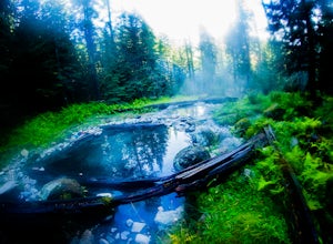
5.09.68 mi / 2106 ft gainStart your hike to the hot springs at trailhead 211. Trail is roughly 5 miles with an easy gradual incline. Enjoy some of the mountainous views on your way. There are no signs directing you to the hot springs but there will be two forks in the road and you'll take the right path both times. Be...Read more -
Mackay, Idaho
Climb Mt. Breitenbach
8 mi / 4600 ft gainDirections to the "trailhead": From Mackay, Idaho take Highway 93, approximately 2 miles past Mackay reservoir, turn right on Upper Cedar Creek road (FS rd 127). Follow this road straight toward the mountains. There will be a number of cattle gates to go through. About 3 miles up, the road crosse...Read more -
Salmon, Idaho
Backpack the Bighorn Crags
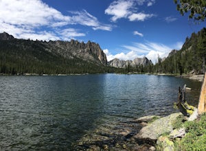
22 miThe Bighorn Crags are a fantastic grouping of granite peaks and alpine lakes in central Idaho. They are also the crown jewel of the huge Frank Church – River of No Return Wilderness, which is the largest contiguous wilderness in the lower 48. The area is almost a secret because of the time it tak...Read more -
Arco, Idaho
Hike the Tree Molds Trail
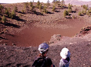
2 mi / 100 ft gainThe trail starts at the parking lot with bathrooms, bike rack and picnic table at the trailhead. Trailhead coordinates (43°25'40.5"N 113°32'55.3"W)It winds its way along a pretty flat and straight path through desert pine forest along the edge of a lava floe. It passes a small crater which is sur...Read more
Visit Idaho
Idaho is a picturesque state filled with beautiful scenery and warm, wonderful people. It's an ideal destination for family travelers, outdoor enthusiasts, adventure seekers, or those just looking for a relaxing getaway.
Learn More

