United States
Looking for the best fitness in United States? We've got you covered with the top trails, trips, hiking, backpacking, camping and more around United States. The detailed guides, photos, and reviews are all submitted by the Outbound community.
Top Fitness Spots in and near United States
-
Colfax, California
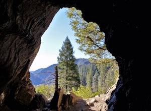
Hike The Historical Stevens Trail
5.08 mi / 3376 ft gainBest known as one of the most popular hiking and biking trails to the North Fork American River, in part because of the easy access from Colfax. However, this is a remote trail, and hikers are advised to bring plenty of fluids as well as carry a whistle. The entire trail is primarily shaded, pa...Read more -
Cumming, Georgia
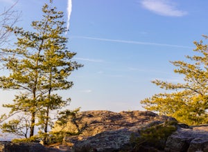
Hike the Indian Seats Trail
4.33.24 mi / 453 ft gainThe Sawnee Mountain Preserve is easy to get to with a GPS and offers plenty of parking. To get to the Indian Seats Trail you will start down a short (.17 mile) trail that will take you to the trailhead. The Indian Seats Trail is a loop so once you reach the marked trail you can go either left or ...Read more -
Lithia Springs, Georgia
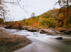
Sweetwater Creek White Loop
4.54.87 mi / 371 ft gainSweetwater Creek State Park offers a breath of fresh air and beautiful sights only 15 miles from Atlanta. The park has 9 miles of trails to choose from. The shortest of the three trails is the Red Trail (1 mile, one-way). After a half mile you will arrive at the impressive 5 story New Manchester ...Read more -
San Francisco, California
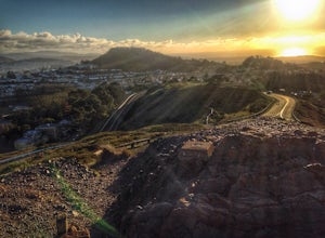
Twin Peaks Loop
4.02.04 mi / 259 ft gainThere are a ton of ways to get here (and obviously that can affect the total distance) but this is starting from Clarendon. Follow along up Twin Peaks boulevard where you'll see the peaks upon your approach. Keep an eye out for traffic as there may be visitors driving toward and away from Twin Pe...Read more -
San Francisco, California
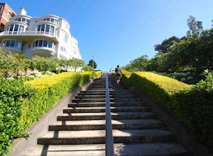
Lyon Street Steps
4.5Rumor has it there are almost 300 stairs from top to bottom. This is a great place to get some exercise in if you're up for running or walking up the stairs. Do a few laps (roundtrip) and you'll be pretty happy with your workout. If you're really looking to get after it, throw in a few pushups an...Read more -
Honolulu, Hawaii
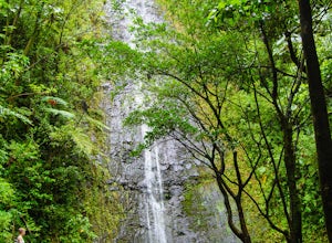
Manoa Falls
3.61.59 mi / 600 ft gainLocated in close proximity to Honolulu, the 150-foot Manoa Falls is accessible from the nearest road by a hike of approximately 0.8 miles (one way). The hike passes through a diverse array of ecosystems in Manoa Valley and feels like a true jungle, which makes it a great photo-zone. This valley i...Read more -
Durango, Colorado
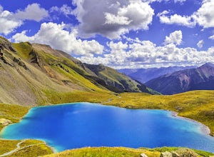
Upper Ice Lake
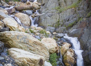
5.06.74 mi / 2464 ft gainFrom the Ice Lakes trailhead begin hiking through a meadow that quickly enters the forest and begins to climb. The trail will climb ~1,600 feet in the next two miles. As the trail climbs there is a scenic waterfall just over .5 miles, it is worth it to scamper up for a closer look (at ~1.0 miles ...Read more -
Deschutes County, Oregon
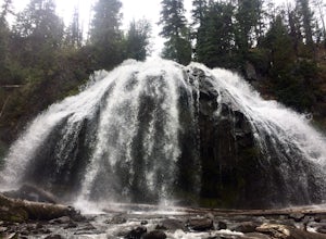
Chush Falls
3.35.75 mi / 823 ft gainJust outside of Sisters, Oregon, near Bend, is a beautiful hike to a picturesque waterfall. It is rarely crowded thanks (and no thanks) to the Pole Creek Fire, which ravaged the area several years ago. Because of the fire, the hike and landscape have been drastically altered. What used to be a 2-...Read more -
North Bend, Washington
Snowy Hike to Rattlesnake Ledge
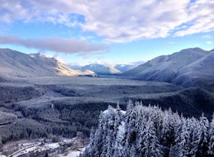
4.54 mi / 1160 ft gainThe trail to Rattlesnake Ledge is one of the busiest in Washington. Usually, a Saturday or Sunday is a no go for a lot of avid hikers due to the crowds. Adding a little snow and cold diminishes the crowds nicely. While it is no secret, this hike is popular for a reason. The 2 miles it takes t...Read more -
Corbett, Oregon
Triple Falls
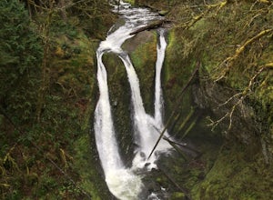
4.53.4 mi / 1168 ft gainAccess to Triple Falls is currently closed. Learn more on the Forest Service Site. This hike, starting at the Oneonta Trailhead is a 3.2 mile roundtrip. You will gain approximately 600 feet in elevation as the trail often switches from moderate flat easy hiking to more difficult elevation gain a...Read more -
Salt Lake City, Utah
Hike Stairs Gulch
4.2Drive up Big Cottonwood Canyon for around 2.8 miles, parking will be along the road and there will be a large rock waterfall on the right hand side of the road. The trailhead is just a short distance from that rock fall (40.623824, -111.743208)Stairs Gulch is an easy, short hike, unless you're lo...Read more -
San Francisco, California
Stow Lake And Strawberry Hill
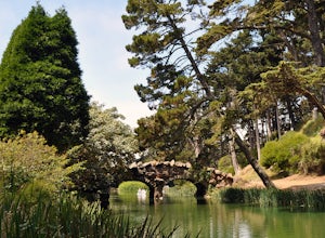
4.92.09 mi / 253 ft gainStrawberry Hill is one of the hidden gems of Golden Gate Park. It is named after the once abundant strawberry fields that inhabited the island. The hill, which reaches up to 430ft, is located in the middle of Stow Lake and has 2 foot bridges for access. This is a great place to run if you're look...Read more -
Helen, Georgia
Raven Cliff Falls
4.64.78 mi / 584 ft gainThe hike to Raven Cliff Falls round-trip is about 5 miles. The scenery is amazing the whole way through with beautiful cascading waterfalls and running streams filled with wildlife everywhere you look. Along the way, there are a few campsites where during the warm months you'll see many tents set...Read more -
Boulder, Colorado
Hike Bear Peak
4.87 mi / 2810 ft gainThe best advice I can give you? Wake up early to start this hike.Even though the Bear Peak hike will only take you about 4-5 hours round trip, it will still be advantageous to get off the mountain before afternoon and evening storms might pass through. This is a steep 7-mile out and back trail.St...Read more -
Sedona, Arizona
Broken Arrow Trail to Chicken Point
4.62.79 mi / 420 ft gainStart your hike at the Broken Arrow Trailhead, just .2 miles past the end of Morgan Rd. You will be immediately greeted by Sedona slickrock trails and red rock views for days! Take a minute to sneak a peek at Devil's Dining Room Sinkhole around 0.6 miles in. It has a sign and is just of to the ri...Read more -
Boulder, Colorado
Hike to the 1st Flatiron
4.62.4 mi / 1422 ft gainStarting at the ever-popular and ever-populated Chautauqua Trailhead, take the main trail (a highway version of a dirt trail) straight towards the Flatirons. Continue going straight passed the Ski Jump trail to your right (0.2 mi.), then at a crossroads with the Bluebell-Baird trail (0.3 mi.) tur...Read more

