United States
Looking for the best fitness in United States? We've got you covered with the top trails, trips, hiking, backpacking, camping and more around United States. The detailed guides, photos, and reviews are all submitted by the Outbound community.
Top Fitness Spots in and near United States
-
Boulder, Colorado
Mount Sanitas Loop & Settlers Park
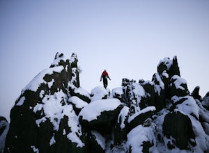
4.43.83 mi / 1371 ft gainFirst off, these are two different hikes but both stem from the same parking lot and Settlers Park is a mere 5 minutes away from where you park so why not kill two birds with one stone? One of the more popular hikes in Boulder, Mount Sanitas is a 3 mile hike that quickly scales nearly 1,350 feet...Read more -
Walnut Cove, North Carolina
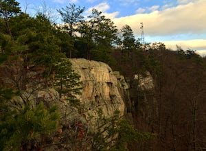
Hike and Rock Climb Moore's Knob
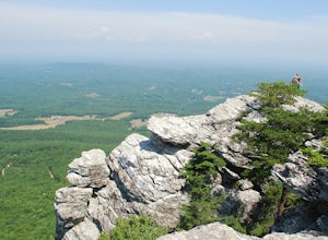
4.3Looking for a shorter hike with stunning views, or a place to rappel with a backdrop like no other on the East Coast? Look no further than Moore's Knob, located within Hanging Rock State Park. Just North of Winston-Salem, Moore's Knob is one of the many wonders of the Sauratown Mountains. At 2579...Read more -
Los Angeles, California
Temescal Canyon Loop
3.93.76 mi / 810 ft gainThere are a couple of different ways that you can hike in Temescal Canyon. For this one, the loop begins from Temescal Canyon Trail at Sunset Boulevard and is approximately 3.76 miles. This loop is not dog friendly. Additional Options for Hiking Temescal Canyon: The basic loop – 2.6 milesTh...Read more -
Golden, Colorado
Hike South Table Mountain
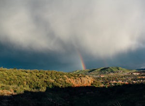
4.03.3 mi / 1500 ft gainWant to see a rainbow? Possibly some coyotes or other Colorado wildlife?This hike is full of twists and turns, mostly involving the trail, but also in surprises along the way.Drive into downtown Golden (grab some food if you're hungry) and then park at the base of the Golden Summit trail. Startin...Read more -
Stone Mountain, Georgia
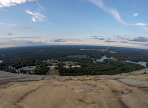
Stone Mountain
4.22.23 mi / 650 ft gainStone Mountain sits on the outskirts of downtown Atlanta. Located in the center of Stone Mountain Park, this 1,686 ft. granite mound provides visitors with a challenging cardio workout and excellent panoramic views of the Atlanta metropolitan area. Those who want to climb Stone Mountain should...Read more -
Laguna Niguel, California
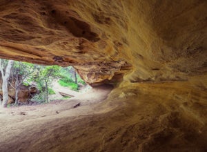
Dripping Cave in the Aliso & Wood Canyons Wilderness
4.47.68 mi / 889 ft gainDripping Cave sits tucked away in a corner of Wood Canyon, part of the Aliso and Wood Canyons Wilderness Park, and the trail to the cave, while short, requires *at least* a 2.25 mile hike in from the nearest trailhead (West Ridge Trail to Mathis Canyon), though this is less than ideal as that rou...Read more -
Golden, Colorado
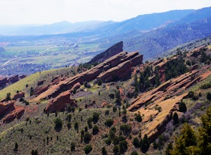
Matthews/Winters Park Loop
4.04.99 mi / 827 ft gainMatthews/Winters Park, which is part of the Jefferson County Open Space system, is proof that you do not have to go far from the city to enjoy the mountains. Nestled in the foothills between Golden and Morrison just off I-70 and C-470, Matthews/Winters is easy to access from Denver and any of the...Read more -
Mason County, Washington
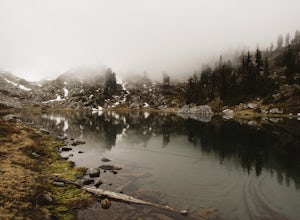
Hike to Lake of the Angels
5.06.75 mi / 3599 ft gainThe trail up to Lake of the Angels, known as the Putvin Trail, starts out pretty mellow with a gradual uphill climb. Your first marker will be an old roadbed at around 1.4 miles, but you'll need to cross two ravines before making it there. It's thick forest with gorgeous views in the clearings, s...Read more -
Jekyll Island, Georgia
Explore Driftwood Beach on Jekyll Island
4.72 miFor the outdoors-minded, Jekyll Island’s biggest attraction may be its driftwood beach. Almost as if the driftwood rained down from the sky, the beach is littered with large trees and gnarly branches. The chaotic mess of driftwood can make the beach a maze to navigate, especially during high tide...Read more -
Bluemont, Virginia
Hike to Raven Rock
4.35 mi / 1000 ft gainStarting at a small parking lot right off of Route 7 (wuick right onto Pine Grove Road) this hike takes you North on the Appalachian Trail in a very hilly/rocky part of the trail. Expect to gain and lose 300 feet+ multiple times! It's about 2.5 miles each way so budget at least a few hours to go ...Read more -
Stanford, California
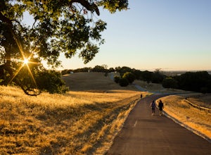
Stanford Dish Loop
4.43.67 mi / 472 ft gainIf you live in the Palo Alto area and are looking for a place to hike or run, The Dish is a close, and great way to get that exercise. Located right on the corner of Stanford Ave and Junipero Serra, you'll see that small gated entrance right when you drive on by. As far as parking goes, you're le...Read more -
Stanley, Virginia
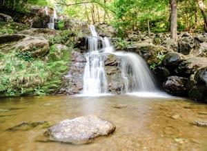
Dark Hollow Falls
4.61.32 mi / 440 ft gainCatch the trailhead to these falls at mile 50.7 on Skyline Drive, just north of Big Meadows Lodge and Campground and the trailhead is just to the left of the parking lot. This is an easy 1.4 mile roundtrip hike, straight down to get to the falls, and straight up to arrive back at your car. Many...Read more -
Flagstaff, Arizona
Trail Run in Lockett Meadow
4.8Getting There North of Flagstaff on the 89A, take a left turn directly after a sign for Sunset Crater. This road winds up a well-developed path; when it ends, turn right. After the road banks left, take a right at the next fork and continue on the dirt road up a single lane path until you enter t...Read more -
Malibu, California
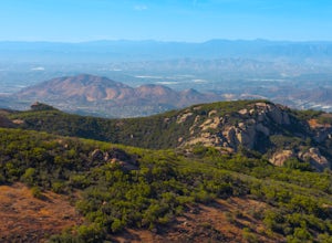
Sandstone Peak
4.83.03 mi / 971 ft gainIf you live in Los Angeles, Sandstone Peak is a must! The hike to the summit can be done on a 2 mile hike up and back on Sandstone Peak Trail, or a 6.5 mile hike up and back on Backbone Trail. The shorter trail is more popular, yet both are equally rewarding. You won't believe the views from the...Read more -
Sequoia National Park, California
Hike Moro Rock
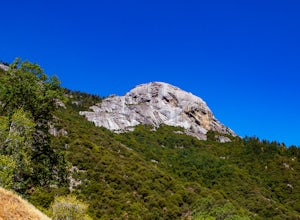
5.0Moro Rock is a granite dome with a staircase leading to the 6,725 foot summit, where you can enjoy a spectacular view of the Great Western Divide. From Generals Hwy, you can drive up Crescent Meadow Road to the parking lot at the base of Moro Rock (summer weekends the road is closed for shuttles ...Read more -
Renton, Washington
Far County Falls via Licorice Fern Trail
4.24.25 mi / 801 ft gainFrom Seattle, take the I-90 E to exit 15. Make a right on 17th Ave. This street will later become Renton/Issaquah Rd. Drive about four miles then turn right on to May Valley Rd. Make a sharp right onto SE 112th St. This street will soon turn into 169th Ave SE as it turns left. The trailhead is ri...Read more

