Roxbury, Connecticut
Looking for the best hiking in Roxbury? We've got you covered with the top trails, trips, hiking, backpacking, camping and more around Roxbury. The detailed guides, photos, and reviews are all submitted by the Outbound community.
Top Hiking Spots in and near Roxbury
-
Norfolk, Connecticut
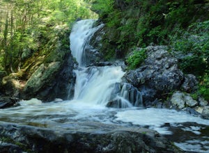
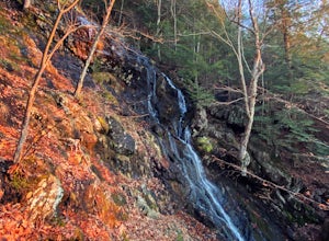
Hike to Campbell Falls
4.01.4 mi / 187 ft gainCampbell Falls, one of the most beautiful parks in CT. Don't let the size of the park fool you, that's what adds to the beauty. With it's strong pine and fresh flower scented woods you slowly forget that you're even in Connecticut. The trails aren't labeled the greatest but still can be made out....Read more -
Cornwall-on-Hudson, New York
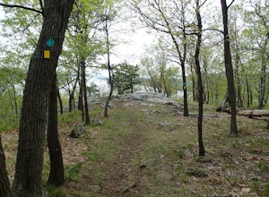
Hike the Stillman - Bluebird Loop
5.4 mi / 1200 ft gainThis loop hike starts at the northern trailhead of the park where the Stillman Trail begins. The parking area has enough space for only 6 or 7 cars. Start off on a wide maintained carriage road. After about a half mile, the Stillman Trail (yellow markers) breaks of to the left. However, stay ...Read more -
Philipstown, New York
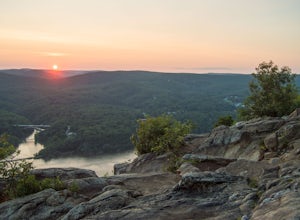
Anthony's Nose via Appalachian Trail
4.61.95 mi / 682 ft gainParking for the trail runs along both sides of 9D right up until the Bear Mountain Bridge. It can be busy on the weekends so just make sure you're as far off the road as you can and be especially careful unloading kids and dogs. The trailhead is located at approximately 41.322571, -73.975949 and ...Read more -
Granby, Connecticut
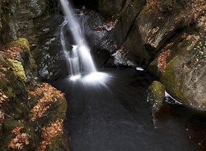
Hiking Enders Falls
4.0Enders State Forest sprawls over approximately 2000 acres, and is found within the towns of Granby and Barkhamsted in Connecticut. Enders has a good sized parking lot directly on Route 219. From the junction of Route 219 and Route 20, visitors will proceed west on Route 219 for 1.2 miles and tu...Read more -
Mount Washington, Massachusetts
Mount Frissell and Brace Mountain Loop Trail
5.08 mi / 807 ft gainMount Frissell and Brace Mountain Loop Trail is a loop trail where you may see beautiful wildflowers located near South Egremont, Massachusetts.Read more -
Bear Mountain, New York
Hike Bald Mountain, Bear Mountain State Park
4.76.8 mi / 1080 ft gainFrom your starting point at the Bear Mountain Inn, go left along the Cornell Mine Trail. (This part can be a bit confusing, but go past the carousel to a shaded picnic area; that is where the trail starts.) You will go under a bridge and follow the trail until it takes a sharp left and descends t...Read more -
Briarcliff Manor, New York
Hike Kate Kennard Trail
1.8 mi / 140 ft gainIf you’re in the town of Briarcliff and looking for an easy local trail to try out, Kate Kennard Trail is good for getting in a quick run or walk. It’s a straight line path the whole way. You’ll know you’ve reached the end of the path when you see a sign that marks the beginning of a road leading...Read more -
Highland Falls, New York
Popolopen Torne
4.51.18 mi / 531 ft gainPopolopen Torne is a hidden gem in the Hudson Valley, a surprisingly unknown trail with a beautiful payoff and a far deeper meaning. A short hike to the top puts you at the foot of a memorial to those who have served their country, a pile of painted rocks carried up by those who want to pay their...Read more -
Glastonbury, Connecticut
Hike the Cotton Hollow Nature Preserve
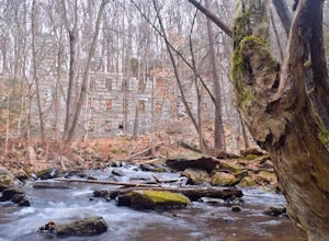
5.03 miThere are two parking locations for Cotton Hollow, the location tagged in the directions is the shortest hike to the old gun powder mill. Suggestions when it comes to exploring the preserve are to stay on the trails, know your limits, and enjoy! There are swimming holes along the river, but swim ...Read more -
Middlesex County, Connecticut
Hike to Glen Falls
5.00.75 miAccessing Glen Falls may be a little tricky at first. Parking will be very minimal, you will park on Grist Mill Ln. Hop onto the road and you will see the trail map on the left side. The adventure begins when you cross the street and go through the gate with the yellow blaze symbol. Keep followin...Read more -
Sheffield, Massachusetts
Hike to Race Brook Falls
4.03.4 mi / 1174 ft gainHiking along the Appalachian trail I made a detour in Mt Everett State reservation. About a 2.5 mile detour lead me down to a beautiful 100ft waterfall called Race Brook falls. The waterfall felt made me feel like i was in the tropical jungle in Hawaii. Adding to the beauty of the waterfall were ...Read more -
New Windsor, New York
Hike Jessup/West Ridge Loop via the Sweet Clover Trail
10 mi / 1700 ft gainSchunnemunk Mountain State Park is one of my favorite parks. It offers many trails and possibilities for different loops. The attraction of Schunnemunk Mountain is the long double ridges running parallel to each other and amazing views in all directions.This hike starts at the Taylor Road parki...Read more -
Mount Washington, Massachusetts
Guilder Pond and Mount Washington Lookout Trail
3.92 mi / 909 ft gainGuilder Pond and Mount Washington Lookout Trail is a loop trail that takes you by the lake located near Copake Falls, New York.Read more -
Mount Washington, Massachusetts
Explore Bash Bish Falls
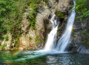
4.21 miOne of my favorite walks to a spectacular falls. The trail is easy to follow and one mile from NY parking lot and 0.5 from the parking lot. The apparent place to swim. There are several very nice, family safe swimmable pools in the creek above and after the falls. There are signs at the top of t...Read more -
Rye, New York
Hike the Marshlands Conservancy Loop
4.01.55 mi / 125 ft gainLocated along the Long Island Sound, this 147-acre conservancy is home to a plethora of different birds, including marsh wrens, seaside sparrows, and American woodcocks. The conservancy has 3 miles of trails, all easy to navigate. Starting out from the visitor's center, take the trail to the rig...Read more -
New Paltz, New York
Hike Mohonk Preserve's Gatehouse to Skytop Tower
5.09 mi / 1268 ft gainBegin at the intersection of Gatehouse Rd and Mohonk Private Rd. There is a small shoulder to park on here. Begin hiking into the preserve along the gatehouse road. There will be signs stating you need a membership or pass to enter. Don't worry about these, there will be a place on the trail ...Read more

