Groton, Connecticut
Looking for the best hiking in Groton? We've got you covered with the top trails, trips, hiking, backpacking, camping and more around Groton. The detailed guides, photos, and reviews are all submitted by the Outbound community.
Top Hiking Spots in and near Groton
-
Groton, Connecticut
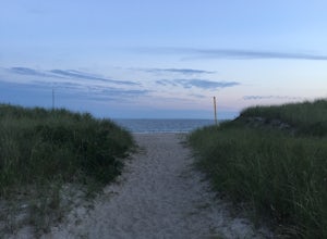
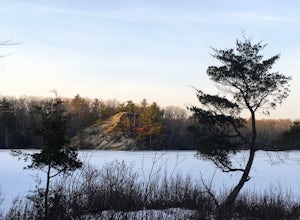
Hike Bluff Point State Park Eastern Loop
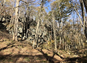
4.54.3 mi / 344 ft gainBluff Point State Park Eastern Loop is a 4.3 mile loop hike where you may see beautiful wild flowers located near Groton, Connecticut.Read more -
Groton, Connecticut
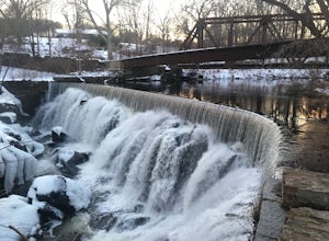
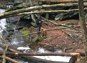
Hike Sheep Farm
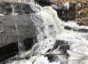
3.01 mi / 91 ft gainSheep Farm is a 1 mile loop hike that takes you by a waterfall located near Groton, Connecticut.Read more -
Groton, Connecticut
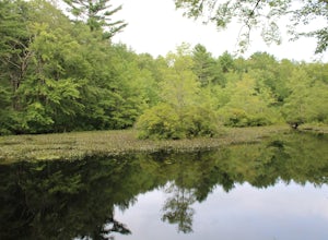
Hike Haley Farm Loop
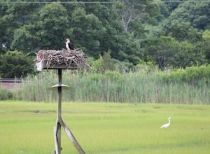
5.02.7 mi / 193 ft gainHaley Farm Loop is a 2.7 mile loop hike that takes you past wildlife located near Groton, Connecticut.Read more -
Stonington, Connecticut
Hike Denison Pequotsepos Nature Center Trail
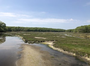
5.01.7 mi / 72 ft gainDenison Pequotsepos Nature Center Trail is a 1.7 mile loop hike that takes you by a river located near Mystic, Connecticut.Read more -
Stonington, Connecticut
Hike River Road
4.03.9 mi / 55 ft gainRiver Road is a 3.9 mile point-to-point hike that takes you by a river located near Mystic, Connecticut.Read more -
East Lyme, Connecticut
Hike Rocky Neck State Park Trail
5.02.5 mi / 141 ft gainRocky Neck State Park Trail is a 2.5 mile loop hike where you may see beautiful wild flowers located near East Lyme, Connecticut.Read more -
North Stonington, Connecticut
Hike Narragansett Trail
4.010.7 mi / 1 ft gainNarragansett Trail is a 10.7 mile point-to-point hike that takes you by a lake located near North Stonington, Connecticut.Read more -
Westerly, Rhode Island
Napatree Point Conservation Area Trail
4.03.19 mi / 82 ft gainNapatree Point Conservation Area Trail is a loop trail that takes you past scenic surroundings located near Westerly, Rhode Island.Read more -
Norwich, Connecticut
Explore Yantic Falls Historic District
0.3 mi / 26 ft gainThe Yantic Falls Historic District encompasses a historic mill and associated worker housing on Yantic Street in Norwich, Connecticut. The 10 acre area includes a complex of mill buildings arrayed along the Yantic River, and a group of three brick mill worker houses. Today, Yantic Falls is part d...Read more -
North Stonington, Connecticut
Hike Wyassup Lake
5.02.4 mi / 278 ft gainWyassup Lake is a 2.4 mile out and back hike that takes you past great forest setting located near North Stonington, Connecticut.Read more -
East Haddam, Connecticut
Explore Chapman Falls in Devil's Hopyard SP
4.0If you map to Chapman Falls in East Haddam, CT, you will be brought to a parking lot opposite from the waterfall in Devil's Hopyard, a beautiful Connecticut state park. Once there, it's only a few minute walk down a very clear trail to the base of the 60 foot falls. There's plenty of room to set ...Read more -
Westerly, Rhode Island
Grills Preserve
4.04.27 mi / 351 ft gainGrills Preserve is a loop trail that takes you by a lake located near Bradford, Rhode Island.Read more -
Hopkinton, Rhode Island
Hike to Long Pond & Ell Pond
5.05.7 miLong & Ell Pond is a favorite hike at any time of the year, but it is not for the faint of heart (or small children)! The path immediately becomes more of a rock-scrambling adventure than a hike, but the views are so worth it. This GPS address will lead you down a dirt road but you should ea...Read more -
Franklin, Connecticut
Hike Baileys Ravine at Ayer's Gap Preserve
1.6 mi / 314 ft gainIt's steep and rocky in the beginning but it levels out after a while! When standing in the parking lot, the trailhead is hidden! Look to the right. The trail ends on Ayer's Road so you have to walk back a little ways on the road.Read more -
Voluntown, Connecticut
Hike Pachaug State Forest Trails
5.03.6 mi / 200 ft gainLawden Brook Trail Loop is a 3.6 mile loop hike that takes you by a lake located near Voluntown, Connecticut.Read more -
Montauk, New York
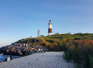
Stroll along the Montauk Point Lighthouse Cliff Walk
4.51 miThe Montauk Point Lighthouse is one of the main attractions of "The End" of Long Island, but I've only ever walked around it on the cliff walk.When you get to the lighthouse, you can park in the parking lot (depending on when you go there may be a $8 fee). Right along the edge overlooking the wa...Read more


