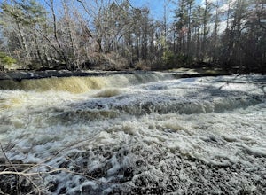
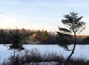
Franklin, Connecticut
Top Spots in and near Franklin
-
Franklin, Connecticut
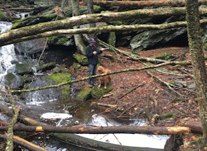
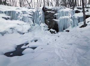
Hike Baileys Ravine at Ayer's Gap Preserve
1.6 mi / 314 ft gainIt's steep and rocky in the beginning but it levels out after a while! When standing in the parking lot, the trailhead is hidden! Look to the right. The trail ends on Ayer's Road so you have to walk back a little ways on the road.Read more -
Norwich, Connecticut
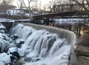
Explore Yantic Falls Historic District
0.3 mi / 26 ft gainThe Yantic Falls Historic District encompasses a historic mill and associated worker housing on Yantic Street in Norwich, Connecticut. The 10 acre area includes a complex of mill buildings arrayed along the Yantic River, and a group of three brick mill worker houses. Today, Yantic Falls is part d...Read more -
Mansfield, Connecticut
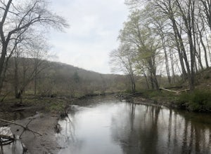
Hike Nipmuck Trail
5.08.3 mi / 748 ft gainNipmuck Trail is a 8.3 mile out and back hike that takes you past wildlife located near Mansfield Center, Connecticut.Read more -
Chaplin, Connecticut
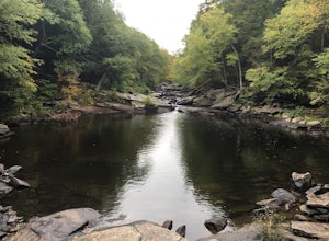
Hike to Diana's Pool
4.01.3 mi / 45 ft gainThe drive to Diana's Pool is worth it in an of itself, taking you through the backroads of Eastern Connecticut. To begin the hike just simply enter the woodland path and follow the trail. In order to go under the bridge just simply take the first left in the path and there will be a stream that f...Read more -
Plainfield, Connecticut
Hike Sugar Brook Loop Trail
4.03.3 mi / 200 ft gainSugar Brook Loop Trail is a 3.3 mile loop hike that takes you by a river located near Plainfield, Connecticut.Read more -
East Haddam, Connecticut
Explore Chapman Falls in Devil's Hopyard SP
4.0If you map to Chapman Falls in East Haddam, CT, you will be brought to a parking lot opposite from the waterfall in Devil's Hopyard, a beautiful Connecticut state park. Once there, it's only a few minute walk down a very clear trail to the base of the 60 foot falls. There's plenty of room to set ...Read more -
Voluntown, Connecticut
Hike Pachaug State Forest Trails
5.03.6 mi / 200 ft gainLawden Brook Trail Loop is a 3.6 mile loop hike that takes you by a lake located near Voluntown, Connecticut.Read more -
North Stonington, Connecticut
Hike Narragansett Trail
4.010.7 mi / 1 ft gainNarragansett Trail is a 10.7 mile point-to-point hike that takes you by a lake located near North Stonington, Connecticut.Read more -
North Stonington, Connecticut
Hike Wyassup Lake
5.02.4 mi / 278 ft gainWyassup Lake is a 2.4 mile out and back hike that takes you past great forest setting located near North Stonington, Connecticut.Read more -
Glastonbury, Connecticut
Blackledge Falls
4.01.46 mi / 207 ft gainAlthough the park contains hiking trails, a pond and a streambelt, the primary draw of this parcel of land is the 25 foot waterfall. The falls flow varies depending on the volume of precipitation, from a trickle in the dry months to a three-pronged vertical drop after some consistent snow melt or...Read more -
Stonington, Connecticut
Hike River Road
4.03.9 mi / 55 ft gainRiver Road is a 3.9 mile point-to-point hike that takes you by a river located near Mystic, Connecticut.Read more -
Groton, Connecticut
Hike Sheep Farm
3.01 mi / 91 ft gainSheep Farm is a 1 mile loop hike that takes you by a waterfall located near Groton, Connecticut.Read more -
Groton, Connecticut
Hike Bluff Point State Park Eastern Loop
4.54.3 mi / 344 ft gainBluff Point State Park Eastern Loop is a 4.3 mile loop hike where you may see beautiful wild flowers located near Groton, Connecticut.Read more -
Stonington, Connecticut
Hike Denison Pequotsepos Nature Center Trail
5.01.7 mi / 72 ft gainDenison Pequotsepos Nature Center Trail is a 1.7 mile loop hike that takes you by a river located near Mystic, Connecticut.Read more -
West Greenwich, Rhode Island
Stepstone Falls via Ben Utter Trail
5.02.64 mi / 125 ft gainStepstone Falls via Ben Utter Trail is an out-and-back trail that takes you by a waterfall located near West Greenwich, Rhode Island.Read more -
Hopkinton, Rhode Island
Hike to Long Pond & Ell Pond
5.05.7 miLong & Ell Pond is a favorite hike at any time of the year, but it is not for the faint of heart (or small children)! The path immediately becomes more of a rock-scrambling adventure than a hike, but the views are so worth it. This GPS address will lead you down a dirt road but you should ea...Read more
Top Activities
Camping and Lodging in Franklin

Moodus, Connecticut
Getaway Machimoodus
The brand new Outpost in Moodus, CT, opens in time for winter. Make your escape to Getaway Machimoodus. 2 hrs from Boston, 2 hrs 30 mins ...
From $190 / night

North Stonington, Connecticut
Mystic KOA Holiday
Mystic KOA is located at the easternmost tip of Connecticut on the 250-year-old site of one of the area's first farms. This beautiful, hi...

East Lyme, Connecticut
Niantic / I-95 Exit 72 KOA Journey
The broad sandy beaches and salty blue waters of Long Island Sound are just minutes away from this new KOA, with free beach passes for ca...
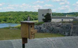
Thompson, Connecticut
West Thompson Lake Campground
Overview
West Thompson Lake Campground is located near the wooded shoreline of its namesake lake in northeastern Connecticut. The natural...
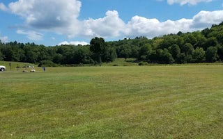
Sturbridge, Massachusetts
Westville Recreation Area
Overview
Westville Lake is situated on the Quinebaug River in the towns of Southbridge and Sturbridge, Massachusetts. Westville offers a ...
Charlton, Massachusetts
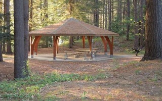
Buffumville Lake (Group Shelters)
Overview
In 1958 the U.S. Army Corps of Engineers built Buffumville Dam in Charlton, Massachusetts to provide flood risk management for d...

