Groton, Connecticut
Looking for the best hiking in Groton? We've got you covered with the top trails, trips, hiking, backpacking, camping and more around Groton. The detailed guides, photos, and reviews are all submitted by the Outbound community.
Top Hiking Spots in and near Groton
-
Montauk, New York
Climb the Bluffs of Shadmoor State Park
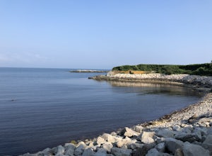
1.2 mi / 100 ft gainI've never actually been into the Shadmoor State Park, but you can climb up and onto the bluffs from the beach easily; well kind of easily.Most of the parking lots along the beach require Hamptons residency tags, so you can't park right next to beach entrances... bummer. We typically park along ...Read more -
Shelter Island, New York
Hike through the Mashomack Nature Preserve
10 miJust a short ferry ride from the Hamptons, South Ferry Road is exactly where it sounds; very close to the South Ferry of Shelter Island. The parking lot of Mashomack Preserve is marked by a large sign. When you walk in, you'll see a large nature center. Sign in at a clipboard at the table out fro...Read more -
West Greenwich, Rhode Island
Stepstone Falls via Ben Utter Trail
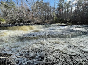
5.02.64 mi / 125 ft gainStepstone Falls via Ben Utter Trail is an out-and-back trail that takes you by a waterfall located near West Greenwich, Rhode Island.Read more -
South Kingstown, Rhode Island
Hike the Osprey Point Loop on Trustom Pond
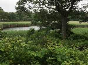
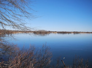
2 miCareful on the drive in for deer! From the parking lot head right around the Farm Field Loop Trail then continue to your right down Osprey Point Trail (0.8 miles). This is where you will most likely see the deer up close. Continue to your right to the Osprey Point Overlook, which will (on a clear...Read more -
Plainfield, Connecticut
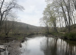
Hike Sugar Brook Loop Trail
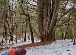
4.03.3 mi / 200 ft gainSugar Brook Loop Trail is a 3.3 mile loop hike that takes you by a river located near Plainfield, Connecticut.Read more -
New Shoreham, Rhode Island
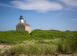
Walk to North Lighthouse
1 mi / 0 ft gainIn order to reach the Lighthouse you must walk along the trail that begins at the end of Corn Neck Rd. This walk is along the beach and then veers off to the left once you get closer to the light house (the seventh picture shows the start of the walk). It's only a half mile to the light house, bu...Read more -
Middlesex County, Connecticut
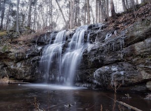
Hike to Glen Falls
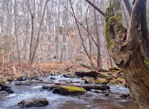
5.00.75 miAccessing Glen Falls may be a little tricky at first. Parking will be very minimal, you will park on Grist Mill Ln. Hop onto the road and you will see the trail map on the left side. The adventure begins when you cross the street and go through the gate with the yellow blaze symbol. Keep followin...Read more -
Chaplin, Connecticut
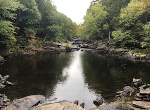
Hike to Diana's Pool
4.01.3 mi / 45 ft gainThe drive to Diana's Pool is worth it in an of itself, taking you through the backroads of Eastern Connecticut. To begin the hike just simply enter the woodland path and follow the trail. In order to go under the bridge just simply take the first left in the path and there will be a stream that f...Read more -
New Shoreham, Rhode Island
Explore Block Island
5.0Block Island, a small island off the coast of the Rhode Island mainland, is well-known as a local summer playland. Tourists typically go to the quaint New England island in the summer months for the biking, hiking, sailing, kayaking, fishing and 17 miles of beaches.Although you can bring a car o...Read more -
Mansfield, Connecticut
Hike Nipmuck Trail
5.08.3 mi / 748 ft gainNipmuck Trail is a 8.3 mile out and back hike that takes you past wildlife located near Mansfield Center, Connecticut.Read more -
Glastonbury, Connecticut
Blackledge Falls
4.01.46 mi / 207 ft gainAlthough the park contains hiking trails, a pond and a streambelt, the primary draw of this parcel of land is the 25 foot waterfall. The falls flow varies depending on the volume of precipitation, from a trickle in the dry months to a three-pronged vertical drop after some consistent snow melt or...Read more -
Middletown, Connecticut
Explore Wadsworth Falls
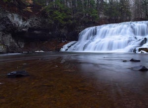
5.00.25 miWhen it comes to exploring Wadsworth Falls its ease of access couldn't be better. As soon as you pull into the parking lot you hear the falls roaring. Take the quick walk to see the picturesque scenery.Facts about Wadsworth Falls:Height: 25ft tall and doubled in width Rock: Hampden Basalt -the ro...Read more -
Glastonbury, Connecticut
Hike the Cotton Hollow Nature Preserve
5.03 miThere are two parking locations for Cotton Hollow, the location tagged in the directions is the shortest hike to the old gun powder mill. Suggestions when it comes to exploring the preserve are to stay on the trails, know your limits, and enjoy! There are swimming holes along the river, but swim ...Read more -
Meriden, Connecticut
Higby Mountain Trail
2.11 mi / 486 ft gainThe popular route for this hike is to park your car at the base of the trail which is located right before merging onto 91-S in Middlefield, CT. The parking lot does seem to get crowded mid-day, especially if the weather is nice! The beginning of the hike is mostly flatter land and an incline w...Read more -
Meriden, Connecticut
Hike the Metacomet, Blue, and Yellow Loop
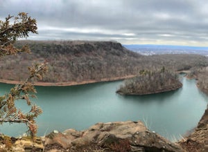
5.04.5 mi / 976 ft gainStart from the Castle Craig road entrance. Walk until you're greeted by a beautiful reservoir. You'll notice the strange but beautiful Mine Island in the middle of all this. You'll also notice markers for White Trails and Yellow Trails. The White Trail is an easier/wider trail. The Yellow Trail C...Read more -
Newport, Rhode Island
Take a Stroll on the Newport Cliff Walk
4.63.5 miThe 3.5 mile Cliff Walk is a National Recreation Trail in a National Historic District. I chose to start at the western end of Easton's or First Beach at Memorial Blvd. and walk south. The first two-thirds of the walk is very easy walking conditions. Parts of the southern half of the walk are...Read more

