Parlin, Colorado
Looking for the best mountain biking in Parlin? We've got you covered with the top trails, trips, hiking, backpacking, camping and more around Parlin. The detailed guides, photos, and reviews are all submitted by the Outbound community.
Top Mountain Biking Spots in and near Parlin
-
Gunnison, Colorado
Camp at Hartman Rocks
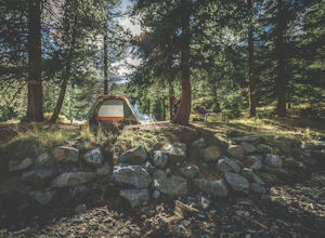
3.0Just 3 miles outside the small south central town of Gunnison, Colorado lies Hartman Rocks recreation area. This 8000 acre open space includes 40 miles of single track trails as well as 33 miles of road. Camping at Hartman Rocks is the perfect way spend a relaxing night, or get an early start to ...Read more -
Gunnison, Colorado
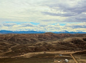
Mountain Biking in Colorado's Hartman Rocks
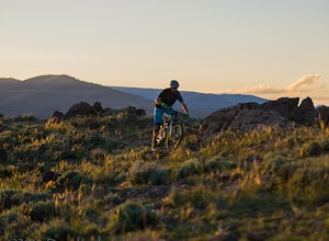
4.0Drive four miles south of Gunnison, Colorado and you'll find Hartman Rocks. Meet up with your friend at the parking lot at the base and head out with your bikes onto Jack's Trail, a singletrack trail that takes you onto the main routes through BLM land.Kiosks throughout Hartman Rocks have maps wh...Read more -
Salida, Colorado
Ride the Monarch Crest Trail
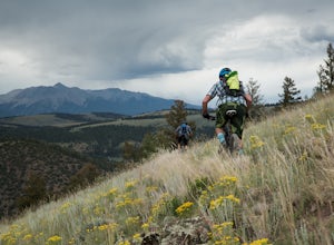
5.0The Monarch Crest Trail has been rated as an IMBA Epic ride and is for sure an epic ride especially ending the ride with the Rainbow Trail. The Monarch Crest Trail is best ridden as a shuttle and begins at the very top of Monarch Pass just outside of Salida or Poncha Springs, Colorado on highway ...Read more -
Gunnison, Colorado
Hike the Dillon Pinnacles Trail
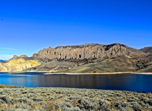
4 mi / 300 ft gainThe Dillon Pinnacles are a geologic phenomenon of southern Colorado. Volcanic eruptions formed the breccia rock into towering spires above the Sapinero Basin of Blue Mesa Reservoir. This packed dirt trail starts at about 7500 feet and climbs to a max elevation of 7800 feet. The four mile out-and-...Read more -
2203-2407 County Road 12, Colorado
Camp at Kebler Pass
4.5Camping on Kebler Pass begins at around GPS: 38.89575, -107.214655. The pass is only available during the warmer summer months but is quite the treat. We went in August to catch an eclipse and the rolling free hills made it a great place to view from. You pass a reservoir on your way in where man...Read more -
Crested Butte, Colorado
Trail Run at Snodgrass Mountain
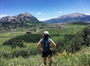
7 mi / 950 ft gainLooking for an easy trail run, close to town, with killer views? Snodgrass Mountain Trail is one of your best bets, with flowy singletrack through aspen groves and views of Mt. Gothic and Mt. Crested Butte. While there are endless beautiful trails to hike and run in the Crested Butte area, this o...Read more -
Crested Butte, Colorado
Camp at Oh Be Joyful Campground
5.0Oh Be Joyful Campground sits on the banks of the Slate River and consists of 15 camp sites dispersed over a decent amount of ground, split into two sides of the river. The river, when it's low is more of a stream and is only passable when it's low. It's a small thrill to drive through it to get t...Read more -
Aspen, Colorado
Hike Lost Man Loop
5.08.8 mi / 1290 ft gainThis 8.8 mile "loop" is not a true loop and the trail ends 4 miles apart along Independence Pass, so a car shuttle is recommended. I would recommend starting at the west trailhead (closer to Aspen) but will describe both trailheads so you can set up another car or shuttle at the other one.1) West...Read more -
Twin Lakes, Colorado
Camp at Twin Lakes' White Star Campground
4.5This area is located on the other side of Independence Pass from Aspen, which is only accessible during the summer, or can be reached year-round via Leadville, which is about 20 miles away along Highway 24. From Twin Lakes Village drive approximately 1.5 miles east on Highway 82 and take the exit...Read more -
Leadville, Colorado
Mountain Bike the Colorado Trail near Mount Elbert
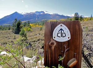
This is the way to see fall colors if you're into empty trails and endorphins. Grind up the trail starting from South Elbert Trailhead. You'll turn right onto the Colorado Trail at .3 miles and stay here for as long as you like, or 7.3 miles to the Mount Elbert Trailhead. Turn around and go back ...Read more -
Buena Vista, Colorado
Hike to the Historical Interlaken Resort
5.06 mi / 500 ft gainFollow Colorado Highway 24 South from Leadville for 14 miles, then turn right onto Colorado 82 towards Aspen. Turn left onto County Road 25, then follow the road for 1 mile to a small parking area for the Colorado Trail. You have arrived!This trail starts near 9,200 feet of elevation and while yo...Read more -
Buena Vista, Colorado
Hike Davis Meadow
5.08.6 mi / 800 ft gainThis is a great hike that is very close to Buena Vista, CO. This trail is on the east side of town and is accessible in the spring. The hardest part of the hike is locating the trail-head. It is located in the northern part of Four Mile Canyon and is in San Isabel National forest. Starting in Bue...Read more -
Aspen, Colorado
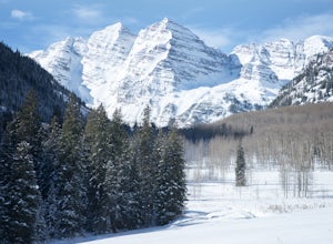
Ski or Snowshoe to the Maroon Bells
5.012 mi / 1000 ft gainFrom Aspen drive down Maroon Creek Road until it comes to its winter closure located by T Lazy 7 Ranch. The Ranch offers snowmobile tours and keeps the six mile snow covered road to the Bells groomed. Most popular with cross country skiers, the snow road can also be hiked, fat biked, and skinned....Read more

