Paradox, Colorado
Top Spots in and near Paradox
-
Monticello, Utah
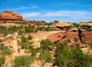
Backpack to Chesler Park, Canyonlands NP
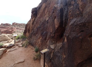
5.013 mi / 600 ft gainThe first draw of this adventure is the roadtrip to the trailhead itself. Set out pre-dawn from Moab, UT and head 77 miles south and west to the Needles District Visitors Centre on Utah 211. En route you'll pass Newspaper Rock, a treasured collection of pictographs well worth the detour if you're...Read more -
Monticello, Utah
Hike Needle's Slickrock Foot Trail
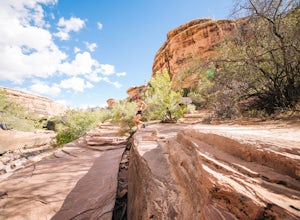
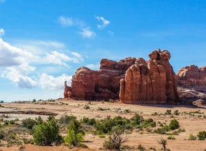
2.4 mi / 200 ft gainThe trail weaves away from the highway following cairns. I did the loop counter-clockwise to hit all the viewpoints first. The first part of the trail offers stellar views of the Needles behind you.All the viewpoints are well marked by trail signs. The first viewpoint veers off to the right and t...Read more -
Moab, Utah
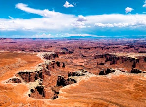
Hike the White Rim Overlook
3.01.8 mi / 160 ft gainIf you're entering Canyonlands from the north (Island in the Sky side), don't miss this quick hike! This hike is fairly level the entire way and not too long—perfect for kids. Follow Grand View Point Road down towards the middle of the park, then turn left at the sign for the White Rim Overlook. ...Read more -
Moab, Utah
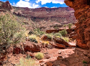
Hike the Gooseberry Trail in Canyonlands
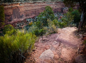
4.04.2 mi / 1548 ft gainThis hike will take your breath away—literally. You will experience stunning views of Canyonlands National Park while literally stepping down the side of a cliff. Once you get to the valley floor, continue on to the smaller cliffs of the White Rim. To get there, follow Grand View Point Road down ...Read more -
Monticello, Utah
Hike the Confluence Overlook
4.010.4 mi / 220 ft gainThe Green River starts in Wyoming and flows 730 miles before joining the Colorado River in Utah. Confluence Overlook Trail is located in the northern parts of the Needles district of Canyonlands National Park. At the southwest edge of the parking area, you will see where the trail starts. The tra...Read more -
Monticello, Utah
Explore Big Spring Creek Overlook
This overlook is at the end of the scenic drive in the Needles District of Canyonlands National Park. Once you step away from your vehicle the world sort of drops out below you into Big Spring Canyon. Just a short walk from the car takes you to some fantastic formations. Visitors can begin the hi...Read more -
Moab, Utah
Bike the Big Mesa Trail
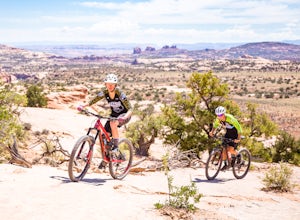
3.3 mi / 400 ft gainBig Mesa trail is the jewel of the Navajo Rocks trail system, containing all of the awesome mountain biking features one comes to expect in Moab, from slickrock to sand chutes with epic views of the terrain. Located off Utah Highway 313 at the Navajo Rocks Trailhead parking lot, 19 miles from dow...Read more -
Monticello, Utah
Hike Peekaboo Trail to Salt Creek Canyon
10 mi / -60 ft gainTrail Description This adventure starts at Squaw Flat Trailhead A in the Needles District of the Canyonlands. Get there early to claim a parking spot, as there are several trails in the area, and you will want to see the colors change in the rock formations as the sun rises in front of you on you...Read more -
Moab, Utah
Bike the Ramblin' Trail
3.3 mi / 200 ft gainThe Ramblin' Trail, part of the Navajo Rocks trail system, is a beginner to intermediate mountain biking trail with a great mix of slickrock, dirt trails, and some sand that features excellent views of hoodoos, Navajo Sandstone, and the general Colorado River watershed redrock. Located off Utah H...Read more -
Monticello, Utah
Joint Trail in the Canyonlands Needles District
5.019.06 mi / 3028 ft gainA large part of the grandeur of Canyonlands National Park is the vast barren vista at Island in the Sky, but no visit to Canyonlands would be complete without the intimate and immersive desert experience that the Needles District offers. Drive two hours southwest of Moab away from cell phone rece...Read more -
Grand Junction, Colorado
Running Ute Canyon in Colorado National Monument
8.6 miUte Canyon Trail is a mostly undeveloped 4.3 mile trail (8.6 round trip) in Colorado National Monument that offers technical descents, route finding, water crossings, and gorgeous red rock walls. The trailhead is just a few miles off I-70 from the town of Fruita—it's well worth the trip. Remember...Read more -
Moab, Utah
Camp at Horsethief Campground
4.7Just 25 minutes from the town of Moab and even less from the Island in the Sky district of Canyonlands National Park and Dead Horse Point State Park (the lookout photo above is from this point), this location is pretty ideal. Great options for mountain biking (like the Intrepid Trails, Shafer Tra...Read more -
Grand County, Utah
Mountain Bike the Monitor-Merrimac Trail
4.06 mi / 564 ft gainThe Monitor-Merrimac Trail is a scenic beginner level mountain bike trail in Moab, UT. It is located on BLM Land (Bureau of Land Management), so it is free to use year round. The trail is a 5.5 mile loop and has about 630’ of elevation gain. The Monitor-Merrimac Trail is slickrock for the majo...Read more -
Moab, Utah
Hike the Mill Canyon Dinosaur Trail
5.01 mi / 50 ft gainThis short trail is located off Mill Canyon rd about 15 minutes north of Moab. A short walk from the parking area leads to an established interpretive trail with signage of where to look for the fossils and a description of what type of dinosaur they belong to. Several different types of dinosau...Read more -
Moab, Utah
Tower Arch
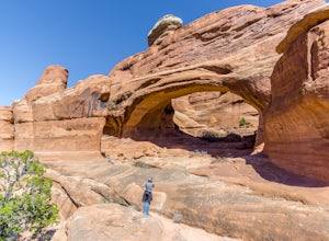
5.02.46 mi / 440 ft gainTower Arch is located in the remote Klondike Bluffs area in Arches National Park. If you're looking at the park map, you can see the unimproved Salt Valley Road that leads south then west from the main road towards Klondike Bluffs. The road is rough in a few places, but can easily be traversed in...Read more -
Grand Junction, Colorado
Photograph Colorado National Monument
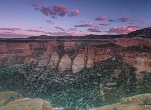
4.2Driving through Colorado National Monument was very easy and gorgeous. Very scenic drive with many lookouts to stop at. Every lookout has a spot to park and you can just jump out and photograph the book cliffs and canyons. I stopped at almost all of the lookouts and they are all breathtaking. I d...Read more

