Paradox, Colorado
Top Spots in and near Paradox
-
Moab, Utah
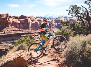
Mountain Bike Amasa Back / Cliffhanger Trail
9.1 mi / 1410 ft gainAmasa Back / Cliffhanger is the primary entry point into one of the most fantastic mountain biking trail networks in the Moab area, connecting into Captain Ahab, Rockstacker, HyMasa, and Jacksons Trails. To get there take Kane Creek Blvd. from Moab into Kane Springs Creek Canyon. The road will qu...Read more -
Moab, Utah
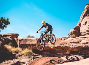
Mountain Bike HyMasa Trail
3.2 mi / 755 ft gainHyMasa trail is the latest in the fantastic Kane Creek Mountain Biking trail network and is now the preferred route for connecting to the iconic Captain Ahab Loop, allowing riders to bypass larges portions of the Amasa Back / Cliffhanger Jeep trail. To get there take Kane Creek Blvd. from Moab in...Read more -
Moab, Utah
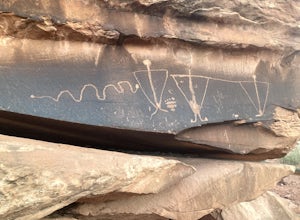
View the Petroglyphs at Birthing Rock
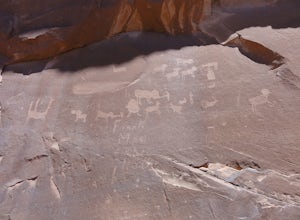
5.00.1 mi / 0 ft gainThis roadside boulder is just a short ride down a dirt road from Moab. From the McDonalds in Moab, head west down Kane Creek Drive. You will pass a few BLM and private campgrounds as well as various trailheads. The road will eventually become graded dirt. Follow the road until you see an obvi...Read more -
Moab, Utah
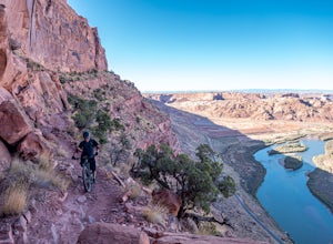
Mountain Bike Portal Trail
2 mi / 1388 ft gainIf you are looking to ride one of Moab's famed mountain bike trails, then look no further than the Portal Trail. It's a short 2-mile trail that starts on the rim above the Colorado River and descends 1,388. To access the Portal Trail you can take a shuttle from town to the top of the Magnificent...Read more -
Moab, Utah
Camp Goose Island Campground
4.7Many of the campground in Arches National Park are extremely hard to book and almost impossible to get walk-in spots during the peak season in this area. However, the Colorado River near Moab has an abundance of beautiful campsites along its shore. Highway 128 heads northwest out of Moab followin...Read more -
Moab, Utah
Rock Climbing Moab's Wall Street
4.4Moab's Wall Street is exactly what it sounds like, but nothing like the "Wall Street" you're familiar with. Several miles off Highway 279, it hugs the Colorado River on one side and a towering 500ft sandstone wall littered with climbing routes on the other. There is easy access to all of the clim...Read more -
Moab, Utah
Drive Hurrah Pass
5.0Hurrah Pass is a 19.5 mile out and back trail/road that leads from the Colorado River Canyon through Kane Creek Canyon and up to Hurrah Pass at 4,780'. While technically considered a 4x4 trail once you begin your ascent out of Kane Creek Canyon, this can be done with a high clearance 2wd vehicle ...Read more -
Moab, Utah
Camp at King's Bottom
4.0Kane Creek is a massive canyon, with the Colorado river at it's feet and red cliffs towering on either side. There are numerous trail heads and campgrounds the farther you explore into the canyon. However, these sites fill up fast. The canyon restricts camping to only designated sites, capping th...Read more -
Moab, Utah
Camp at Williams Bottom Campground in Moab
4.0Williams Bottom Campground and its 17 first-come first-serve campsites are tucked into the side of the Colorado River Canyon on Utah Highway 279 aka "Potash Road" just 15 minutes from downtown Moab. It is commonly known as one of *the* rock climbing campground on the west side of Moab, as there a...Read more -
Moab, Utah
Visit the Potash Road Petroglyphs
4.4Just north of Moab driving out on route 191, look for Potash Road, also known as route 279 just after the Colorado River. Turn left on Potash road and and drive five miles south. You will see a paved pull-out on the Colorado River side of the road with a sign for the petroglyphs. The rock art i...Read more -
Moab, Utah
Visit the Poison Spider Petroglyphs
4.30.5 mi / 250 ft gainNot many people visit this petroglyph site because of the steep access trail. From the Poison Spider parking lot, walk the trail that leads to the slab with an obvious dinosaur track highlighted when people put plaster in the track to make a mold. This, of course, is prohibited. Work your way up...Read more -
Moab, Utah
Photograph the Milky Way at North Window Arch
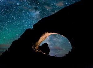
4.7Arches National Park is a must see for all photographers, but especially for astrophotography. Many of the most common places to shoot are balanced rock, and Delicate Arch and there's a good reason, these are beautiful places. North Window Arch is much less common, and even on a moonless night,...Read more -
Moab, Utah
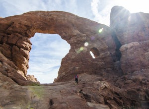
Window Arch Loop
5.01.14 mi / 62 ft gainTo get to the trailhead: After entering the park, keep driving along the main road until you see signs for The Windows Area (just past the Balanced Rock and a little over 9 miles from the Visitor Center). Follow this road until it ends in a parking lot and you see the arches to your right. The ...Read more -
Castle Valley, Utah
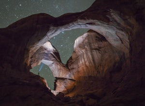
Double Arch
4.40.56 mi / 135 ft gainThe hike to Double Arch is a relatively flat and easy hike of 0.5 miles roundtrip. You can add this to the rest of the quick spots you may want to visit on your visit to Arches.This arch is created by two arches that shares the same stone as the foundation for their outer legs. This arch was form...Read more -
Monticello, Utah
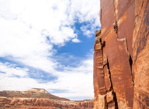
Rock Climbing in Indian Creek
5.0Just outside the Needles District of Canyonlands National Park and 40 miles south of Moab lies one of the greatest crack climbing destinations in the world. Indian Creek is home to world famous routes such as "Supercrack of the Desert" 5.10 "Way Rambo" 5.12- and "Incredible Hand Crack" 5.10c.This...Read more -
Moab, Utah
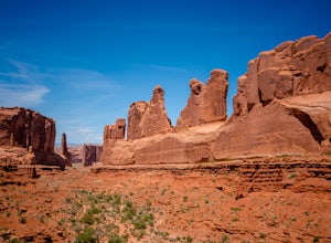
Park Avenue Trail
4.21.83 mi / 318 ft gainFrom the Park Avenue Trail parking area, you can walk up towards the lookout and admire the beauty, or you can hike down the steep path towards the canyon. The trail takes you down the wash to Courthouse Towers. You can either hike round trip to Courthouse Towers and back, or have someone drop yo...Read more

