Paradox, Colorado
Top Spots in and near Paradox
-
Grand County, Utah
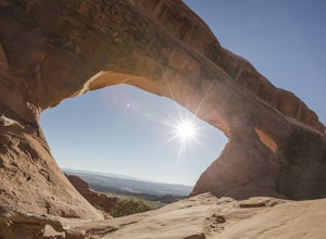
Landscape Arch
2.8Landscape Arch is considered the longest natural arch in the world, and it doesn't take too much effort to experience and see. This arch is on a trail the is part of a larger loop called "Devil's Garden" and during the summer it lives up to its name, easily topping 100 degrees, the beautiful sand...Read more -
Grand County, Utah
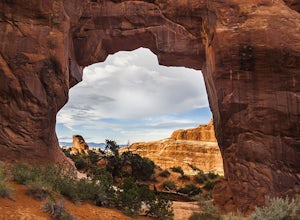
Partition Arch
4.52.88 mi / 364 ft gainHiking to Partition Arch begins at Devils Garden Trailhead which is at the end of the 16 mile Arches Scenic Drive road. Make sure to get to the trailhead early for 2 reasons: beating crowds and beating the heat. Arriving at sunrise will almost guarantee you a parking spot. Budget 2-3 hours round...Read more -
Moab, Utah
Backpack the Lathrop Canyon Trail in Canyonlands
18 mi / 2130 ft gainAccess to this trailhead is a few miles south of the Islands in the Sky Visitor Center in Canyonlands National Park. An easy drive from Moab or Interstate 70. Remember to get permits and check in with the rangers if camping. If just doing a day hike then no permits are needed. REMINDER: There is ...Read more -
Moab, Utah
Hike the Cave Spring Loop in the Needles District
4.00.6 mi / 35 ft gainThe Cave Spring Trail within Canyonlands National Park takes visitors past some well preserved pictographs and a cowboy camp complete with many original artifacts, all located in bluff "caves" below the overhanging cliffs of a low mesa. The path later climbs to the top via a pair of wooden ladde...Read more -
Mesa County, Colorado
Backpack along the Gunnison River in the Dominguez-Escalante NCA
5.03.4 miIf you're looking to take your first backpacking adventure, but want something that is manageable yet thrilling, this is what you're looking for. Located along the Gunnison River in Western Colorado, the Dominguez-Escalante National Conservation area is easy to access yet full of adventure and be...Read more -
Moab, Utah
Camp at Willow Springs Trail
4.0Willow Springs Trail is state-owned land located 13 miles north of downtown Moab Utah. The state provides some vault toilets and port-o-lets throughout the area, but there are no designated campsites or fire rings. Along the main road, there are plenty of large flat spots that people with RV's or...Read more -
Cisco, Utah
Explore the Ghost Town of Cisco
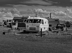
5.0On our way to Moab from Colorado we choose to take the scenic route when some friends told us about this little Ghost Town. I kept the family in the car as I explored around and took photos, as this place had a super creepy vibe. I kept getting this errie feeling that someone was watching me, and...Read more -
Moab, Utah
Mountain Bike Bull Run Trail
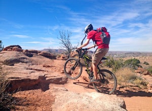
5.5 mi / 1000 ft gainBull Run has a parking lot on the Little Canyon / Gemini Bridges Rd. It's a 5.5 mile downhill trail that ends at the Lower Getaway Trail. Bull Run Trail follows the north side of Bull Run Canyon and provides scenic views with a mix of slick rock, sand, and flowing trails. Most people will park at...Read more -
Moab, Utah
Mountain Bike the Sovereign Trail
5.08 mi / 1000 ft gainStarting from the trailhead north of Moab on Dalton Wells Rd. Follow the Copper Ridge 4x4 road until you see the signs for the start of the Sovereign Trail. It starts with a steep uphill, but once you crest the top of the hill you are rewarded with a beautiful view of the La Sals and surrounding ...Read more -
Moab, Utah
Mountain Bike Moab's White Rim Trail
5.0100 miThis trip can be done with an outfit or independently. The outfit Escape Adventures is highly recommended. They send two guides - one drives a pickup behind with all the camping gear. If you don't have the money or interest, however, it is possible to simply use panniers or a backpack to carry ev...Read more -
Moab, Utah
Mountain Bike the Shafer Trail in Moab
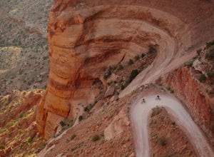
5.05 miThe best way to ride the Shafer Trail is to bring a support vehicle (one with 4WD and decently high clearance). If you're into a sufferfest, by all means climb your way out of there. You can also include it on a much, much longer ride like the White Rim Trail. But if you just want to experience t...Read more -
Moab, Utah
Drive Long Canyon Road
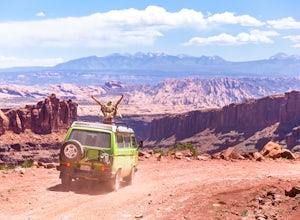
5.0Moab is an outdoor mecca, from rock climbing to mountain biking to 4WD adventures and while not particularly technical (it is only rated Class 2) the 7.8 mile Long Canyon Road just north of Dead Horse State Park is an excellent way to get a taste for the incredible features (and views) that the C...Read more -
Moab, Utah
Hike the Neck Spring Trail
5.8 mi / 260 ft gainWith minor changes in elevation, a couple easy scrambles and the opportunity to find your route by cairns, the Neck Spring Trail is the perfect way to get acquainted with Island in the Sky area of Canyonlands National Park.Starting at the Shafer Canyon Overlook parking lot, the Neck Spring trail ...Read more -
Moab, Utah
Magnificent 7 Trail
22.12 mi / 2254 ft gainThe Mag 7 a relatively new mountain bike route in 2012 that parallels Gemini Bridge road where the trail begins. The trail consists of 4 sections, Bull Run, Arth's Corner, Little Cyn, Gold Bar and Gold Bar Rim. Everyone is talking about this route and it is all great. I have to agree. This will b...Read more -
Monticello, Utah
Camp at Squaw Flat Campground
3.0Squaw Flat campground is an easily-accessed area full of picturesque campsites in Canyonlands National Park, Utah. It is located in the Needles District, which is well known for its colorful spires of Cedar Mesa Sandstone that cover the region. Campsite reservations must be made in advance at rec...Read more -
Moab, Utah
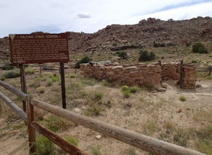
Explore the Halfway Stage Station
The Halfway Stage Station is a ruin site that is located off of Mill Canyon rd. This station served as the half way mark between Moab and Thompson which is where the train station was. It was 35 miles between Moab and Thomson so travelers would stop for lunch on there way to or from Thompson. The...Read more

