Gypsum, Colorado
Looking for the best hiking in Gypsum? We've got you covered with the top trails, trips, hiking, backpacking, camping and more around Gypsum. The detailed guides, photos, and reviews are all submitted by the Outbound community.
Top Hiking Spots in and near Gypsum
-
Frisco, Colorado
Climb Mount Royal
4.7To access the trailhead, drive 4 blocks South to the end of 2nd Avenue from Frisco's Main Street. The trailhead is located around 9,075 feet.Being a popular hike, the trail is clear in the summer months and usually populated by boot prints and snowshoe tracks in the winter. Follow the trail from ...Read more -
Carbondale, Colorado
Camp at Paradise Divide
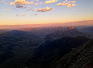
At a literally breathtaking 11,250 feet, Paradise Divide offers seclusion and scenery that can't be beat. Just fifteen miles outside of the world renowned ski resort Crested Butte, this area boasts wildflowers, wildlife, stunning peaks, and opportunities to watch amazing sunrises and sunsets pain...Read more -
Frisco, Colorado
Frisco to Vail through Hike
5.013.55 mi / 3430 ft gainStarting at the Meadow Creek Trail head just off the turn off to Frisco this hike connects the stunning Eccles Pass and Gore Creek trails.Passing over Eccles Pass (11,917') and Red Buffalo Pass (11,742') this spectacular hike passes through dense forest, serene lakes and bubbling creeks.The Vail ...Read more -
Frisco, Colorado
Hike to Eccles Pass
10 mi / 3000 ft gainStarting at just over 9,000ft the Meadow Creek trail follows the path of the similarly named Meadow Creek. Through a canopy of aspens and pines the trail climbs at a steady, moderate rate. After a few water crossings the trees give way to an alpine meadow that offer a view of the final approach t...Read more -
Frisco, Colorado
Hike Red Buffalo Pass, Frisco to East Vail
13.2 mi / 3400 ft gainStarting at the Meadow Creek trailhead in Frisco, you'll find yourself ending up in East Vail at Gore Lake Trailhead. See all photos here. The trail in Meadow Creek starts to climb at a gradual pace for the 3-4 miles, after a mile or so, take a look back upon the views of Lake Dillion. You'll ar...Read more -
Buena Vista, Colorado
Summit La Plata Peak
5.09.25 mi / 4500 ft gainThe Northwest Ridge is the most easily accessible and popular route, and for good reasons. The trailhead is on the side of Hwy 82, otherwise known as Independence Pass, about 14.5 miles from the Hwy 24 junction, or about 10 miles from Twin Lakes to the east. The trailhead is hard to miss, and you...Read more -
Silverthorne, Colorado
Hike to Old Dillon Reservoir
4.51.7 mi / 137 ft gainToday, Lake Dillon is one of the biggest attractions in the Dillon Valley, attracting boaters, anglers, and campers. However, the large reservoir we know today was not the first one in the area. The Old Dillon Reservoir was built in the 1930s to supply water to the original town of Dillon, which...Read more -
Summit County, Colorado
Hike to Crystal Peak
5.08.6 mi / 2482 ft gainOnce you turn off of Colorado hwy 9 onto dirt, your GPS will lead you to a gravel lot. At the end of that lot there's a pretty steep gravel road that heads NNW (GPS coords: 39°25'43.01"N 106° 4'11.30"W | Map Link if you want to plug that into your GPS for parking). From this lot you'll walk up t...Read more -
Crested Butte, Colorado
Hike to Judd Falls
3.02.5 mi / 220 ft gainStarting at 9600 feet, just outside the small town of Gothic is the trail head for Judd Falls. The parking lot is on the side of the road and getting to this area is completely possible with a passenger car. The trailhead includes bathrooms and is particularly uncrowded on weekdays and in the lat...Read more -
Crested Butte, Colorado
Hike Gothic Mountain
6.5 mi / 3025 ft gainThe Gothic mountain trailhead starts at 9600' about 10 miles outside Crested Butte, Colorado. A four wheel or all wheel drive vehicle is recommended to make it to the trail head. Take trail 403 which will eventually turn into Gothic Mountain trail around mile 2.5. The single track trail winds thr...Read more -
Crested Butte, Colorado
Conundrum Hot Springs via Copper Creek
22.5 mi / 4000 ft gainPlease Note: Conundrum Springs camping requires an overnight permit. You must get a permit in order to camp at the springs. If you're looking for an incredibly challenging hike, Copper Creek to Triangle Pass to Conundrum Springs is the hike for you! When you plug in "Conundrum Springs" into you...Read more -
Crested Butte, Colorado
The Copper Creek Trail to Copper Lake
5.011.53 mi / 2264 ft gainThe Copper Creek Trail to Copper Lake is an out-and-back trail that takes you by a waterfall located near Crested Butte, Colorado.Read more -
Leadville, Colorado
Mountain Bike the Colorado Trail near Mount Elbert
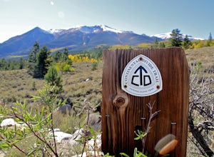
This is the way to see fall colors if you're into empty trails and endorphins. Grind up the trail starting from South Elbert Trailhead. You'll turn right onto the Colorado Trail at .3 miles and stay here for as long as you like, or 7.3 miles to the Mount Elbert Trailhead. Turn around and go back ...Read more -
Silverthorne, Colorado
Ptarmigan Trail
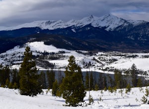
4.57 mi / 1201 ft gainPtarmigan Trail, not to be confused with Ptarmigan Peak, is a 5 mile out-and-back, scenic trail that offers unparalleled vistas of Summit County, Dillon Reservoir and the surrounding mountains(including Quandary Peak, Red Mountain, and the Decalibron Loop). Located just outside of Silverthorne a...Read more -
Swan Mountain Road, Colorado
Sapphire Point Overlook
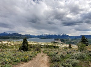
3.30.62 mi / 49 ft gainThis short, 0.6 mile loop hike gives a beautiful view of Lake Dillon and is an easy, family-friendly hike. Dogs are allowed but must be kept on leash. The trail is clear cut and descends a few feet while looping around the side of the mountain to the overlook point. It is definitely a worthwhil...Read more -
Buena Vista, Colorado
Mt. Elbert via Black Cloud Trail
4.510.69 mi / 4967 ft gainDirections: Heading south from Leadville from U.S. 24: West on CO 82 for 10.5 miles to a hidden right turn that leads to a trail head. If you make it to the Mt. Elbert Lodge, you have gone just a bit too far. The parking lot (aka: dirt access) should be relatively empty as everyone tends to hik...Read more

