Gypsum, Colorado
Looking for the best hiking in Gypsum? We've got you covered with the top trails, trips, hiking, backpacking, camping and more around Gypsum. The detailed guides, photos, and reviews are all submitted by the Outbound community.
Top Hiking Spots in and near Gypsum
-
Frisco, Colorado
Backpack the Colorado Trail: Copper Mountain to Hagerman Pass
39 miThe Colorado Trail (CT) runs for 483 miles from Denver to Durango, crossing through eight mountain ranges and passing through six wilderness areas. There are great resources on completing a thru-hike of the CT; this post is about Segments 8-9 of the CT from Copper Mountain to Tennessee Pass.These...Read more -
Leadville, Colorado
Overnight at the Emma and Marceline Yurts, Leadville
11 mi / 1200 ft gainDrive past the main downtown of Leadville and then head into the mountains south of town, following Mt. Sherman Road to the Yurt parking along a ridge before you come to the Black Cloud Mine. There are signs that say "Yurt Parking". Follow the road a little further down to a jeep road just before...Read more -
Carbondale, Colorado
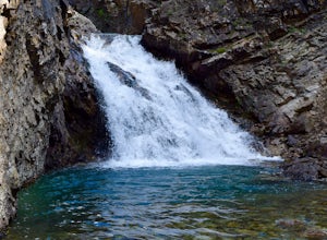
Hike and Swim at Devil's Punchbowl
2.5 miDrive north of Crested Butte to Schofield Pass until you come to the sticker-covered sign. Unless you have an ATV, park the car and descend along the infamous and deadly Schofield Pass Road. Follow this road past the first waterfall, which is about 500 feet from the initial sign. You will continu...Read more -
Frisco, Colorado
Backpack to the Gore Range's Wheeler and Lost Lakes
4.510 mi / 2200 ft gainThe range offers many remote lakes and peaks which hikers can access from various points of entry. Wheeler and Lost Lakes lie within the boundaries of the Eagle's Nest Wilderness Area.The Gore Trail begins on the north side of the CO-91 pedestrian bridge over I-70. You will follow the trail up al...Read more -
Aspen, Colorado
Backpack to Copper Lake
10 miLooking for a wildflower hike, we decided on Copper Lake in the Maroon Bells Wilderness as a place to base camp for 4 nights. It is 5 miles from the Trailhead, which is off Gothic Road above Crested Butte (2WD Accessible).Copper Lake is this beautiful alpine lake, situated right at treeline, with...Read more -
Frisco, Colorado
Hike to Mayflower Gulch
4.74 mi / 1000 ft gainGetting to the Mayflower Gulch is pretty easy, you can either hike an easy 2 mile forest road or drive all the way to end (you need decent clearance for the drive). At the end of the hike you are greeted with a stunning view of the Old Boston mining site. During the summer, wildflowers are abunda...Read more -
Leadville, Colorado
Hike Mount Massive
4.8Starting from the Mt Massive Trailhead off of Halfmoon Creek Road (a half mile past the more popular Mt Elbert Trailhead), follow the excellent and easy trail into the woods. This trail is wide and abnormally flat for a 14er trail for the first three miles. During these first 3 miles the only rea...Read more -
Leadville, Colorado
Colorado Trail: Mount Elbert Trailhead to Twin Lakes
8.49 mi / 1099 ft gainColorado Trail: Mount Elbert Trailhead to Twin Lakes is a point-to-point trail that takes you by a lake located near Leadville, Colorado.Read more -
Leadville, Colorado
North Mount Elbert Trail
4.59.07 mi / 4432 ft gainStart your trip at the North Elbert Creek trailhead, reached by taking Colorado 300 just south of Leadville, and then a left on County road 11 and a right on Halfmoon Creek road. The dirt road to the trailhead is well traveled. The trail begins from the parking lot and winds upwards past 2 clear...Read more -
Kremmling, Colorado
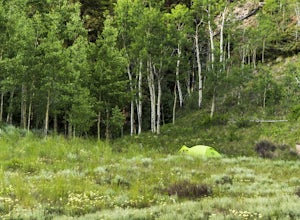
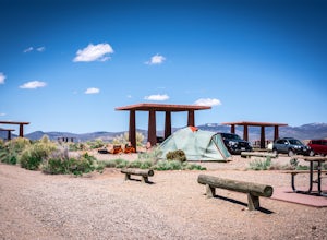
Camp at Wolford Mountain Reservoir
If a nice relaxing adventure is what you seek, this is the place for you. There aren't a lot of super scenic, adrenaline pumping hikes at this campground, but there are well established campsites with beautiful sunrise and sunset views. If you're a photographer, the midnight sky on a moonless nig...Read more -
Silverthorne, Colorado
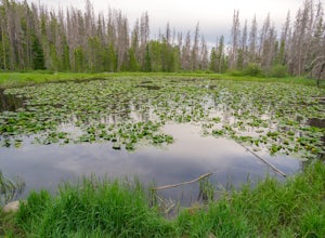
Lily Pad Lake
4.73.27 mi / 531 ft gainLily Pad Lake is a well known destination just outside of Silverthorne and in the Eagle's Nest Wilderness. The trail may be heavily trafficked on the weekends, but solitude can still be found in the early mornings or during the weekdays. The trail starts at the Lily Pad Lake Trailhead, just to t...Read more -
Frisco, Colorado
Mount Royal Trail
3.98 mi / 1391 ft gainMount Royal Trail is an out-and-back trail that takes you through a nice forest located near Frisco, Colorado.Read more -
Frisco, Colorado
Hike or Snowshoe to Rainbow Lakes
5.03 mi / 250 ft gainYou can do this hike two different ways: 1- Start from the Peaks Trail Trailhead for an out and back hike, distance is a little over 2 miles roundtrip. 2- Start along the Summit County Recreational Trail (as marked on this map), also out and back hike, total distance just over 3 miles, and provid...Read more -
Crested Butte, Colorado
Hike Rustler's Gulch
5.09 mi / 1748 ft gainFrom Crested Butte, continue 6 miles past the town of Gothic to Rustler's Gulch Road. Turn right on the road, cross the East River to get to a small parking area near the river. If you don't have 4WD, park here and hike another 1/2 mile to the trailhead. It's a pretty steep hike. If you do have 4...Read more -
Silverthorne, Colorado
South Willow Falls
4.66.17 miStart at the Willowbrook Trailhead. You’ll hit a “Y” in the trail pretty quickly - go left and you’ll soon be at the first log bridge. There are quite a few water crossings on the trail, but they are easy to maneuver. After hiking in the Willow Creek Open Space for a bit, you’ll enter Eagle’s Ne...Read more -
Leadville, Colorado
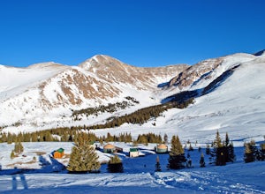
Backcountry Ski at Fremont Pass
Starting at 11,319 feet of elevation, you can choose which direction to head into the backcountry. Park at the pull-off area at the bend in the road. From here, you can head into the woods to the right (there are usually tracks from other skiers to follow) or follow Trail Rd. to reach some peaks ...Read more

