Gunnison County, Colorado
Top Spots in and near Gunnison County
-
Independence, Ohio
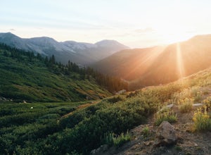
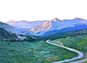
Start in the town of either Aspen or Twin Lakes and continue on Interstate 82 to the top of Independence Pass. Along the way, keep your eyes peeled for the Ghost Town of Independence, fields of wildflowers and the occasional moose, elk or deer. Continue on to the top of the pass where you will fi...
Read more
-
Independence, Ohio
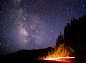
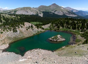
From Aspen CO, drive up highway 82 towards Twin Lakes and stop at the top of the pass.Once you reach the continental divide there will be a sign that says Independence Pass with an elevation of 12,095 feet. Here you can park the car for free and use the bathroom area.To photograph the milky way y...
Read more
-
Independence, Ohio
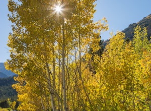
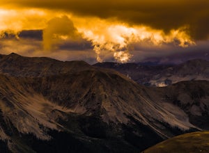
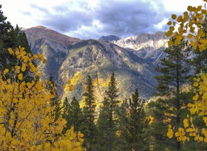
While this is a more of a photography adventure and a fall drive to take through Colorado, there are also many areas to hike along the way. The drive can start from really anywhere in the general area. From the front range area of Colorado, head up I70 and get off toward Twin Lakes around Copper....
Read more
-
Independence, Ohio
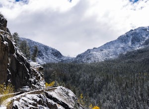
Whether you are driving or biking, the elevation gain is significant, it's over 4,000 ft. The road is fairly narrow so being cautious is important. The highway itself is seasonal; it's closed for winter due to icy conditions. We stopped along the Grotto trailhead to hike around and get some views...
Read more
-
Carbondale, Colorado
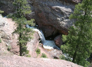
Right off of Highway 133 about 2 miles south of Redstone, lies a very easy-to-get-to Waterfall. Park your car off to the side of the highway, walk about 100 feet and you will find this glorious waterfall. The fall is best to see in the late Spring to early Summer. From late Spring, to early Summe...
Read more
-
Pitkin County, Colorado
Twining Peak is a ranked 13er located 2 miles north of Independence Pass. The hike involves around 1700 feet of elevation and is mostly off-trail with some class 2 scrambling (class 3 can be had if you look hard enough). Independence Pass is a prominent and popular pass on Highway 82 between Twin...
Read more
-
Buena Vista, Colorado
5.0
9.25 mi
/ 4500 ft gain
The Northwest Ridge is the most easily accessible and popular route, and for good reasons. The trailhead is on the side of Hwy 82, otherwise known as Independence Pass, about 14.5 miles from the Hwy 24 junction, or about 10 miles from Twin Lakes to the east. The trailhead is hard to miss, and you...
Read more
-
Buena Vista, Colorado
If you have a 4WD vehicle, drive 2 miles from Winfield along a dirt road to the trailhead. If you don't have a suitable vehicle, you can park before the road gets rough and hike the rest of the road to the trailhead.Starting at 10560 feet of elevation, this 6.5 mile roundtrip hike begins its 3500...
Read more
-
Buena Vista, Colorado
There are some dispersed campsites along side the 4x4 road that leads to the trailhead. Ideally you can sleep here to get an early start to your hike in the morning, to avoid the afternoon storms that frequent the mountains. The 4x4 is rough in spots, though my Subaru Outback did make the trek un...
Read more
-
Carbondale, Colorado
This 20-foot pool is surrounded by beautiful peaks, and is only a short distance from the parking area. Keep in mind this spot is popular on the weekends.
Read more
-
Gunnison, Colorado
Just 3 miles outside the small south central town of Gunnison, Colorado lies Hartman Rocks recreation area. This 8000 acre open space includes 40 miles of single track trails as well as 33 miles of road. Camping at Hartman Rocks is the perfect way spend a relaxing night, or get an early start to ...
Read more
-
Gunnison, Colorado
Drive four miles south of Gunnison, Colorado and you'll find Hartman Rocks. Meet up with your friend at the parking lot at the base and head out with your bikes onto Jack's Trail, a singletrack trail that takes you onto the main routes through BLM land.Kiosks throughout Hartman Rocks have maps wh...
Read more
-
Gunnison County, Colorado
Starting in the town of Buena Vista, head west on E Main Street until it turns into State Highway 306. After about 40 minutes of driving and some winding roads the Continental Divide sign welcomes you to a gravel parking lot. You can get out and hike as you please, but the view from the parking l...
Read more
-
Gunnison County, Colorado
This Trail starts at about 11,200 feet right before the top of cottonwood pass. The trailhead starts at the LAST pull-off before you reach the top of the pass, so if you reach the top, you've gone too far. The hike isn't a super difficult one, but you will go through numerous streams and flooded ...
Read more
-
Buena Vista, Colorado
4.5
10.69 mi
/ 4967 ft gain
Directions:
Heading south from Leadville from U.S. 24: West on CO 82 for 10.5 miles to a hidden right turn that leads to a trail head. If you make it to the Mt. Elbert Lodge, you have gone just a bit too far. The parking lot (aka: dirt access) should be relatively empty as everyone tends to hik...
Read more
-
Basalt, Colorado
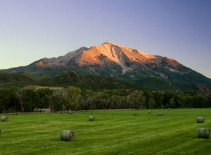
With the Elk Mountain range behind it, It appears to be standing by itself, and has the resemblance of a grand volcano.From Hwy 133 out of Carbondale, turn down Prince Creek Road and drive 6 miles to the trailhead. The trail is a nice mixture of meadows and woods, with excellent views of the vall...
Read more

