Chaffee County, Colorado
Looking for the best photography in Chaffee County? We've got you covered with the top trails, trips, hiking, backpacking, camping and more around Chaffee County. The detailed guides, photos, and reviews are all submitted by the Outbound community.
Top Photography Spots in and near Chaffee County
-
Gunnison, Colorado
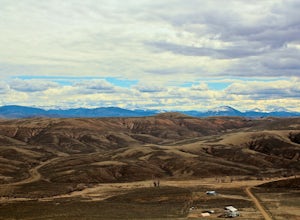
Camp at Hartman Rocks
3.0Just 3 miles outside the small south central town of Gunnison, Colorado lies Hartman Rocks recreation area. This 8000 acre open space includes 40 miles of single track trails as well as 33 miles of road. Camping at Hartman Rocks is the perfect way spend a relaxing night, or get an early start to ...Read more -
Gunnison, Colorado
Mountain Biking in Colorado's Hartman Rocks
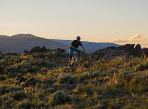
4.0Drive four miles south of Gunnison, Colorado and you'll find Hartman Rocks. Meet up with your friend at the parking lot at the base and head out with your bikes onto Jack's Trail, a singletrack trail that takes you onto the main routes through BLM land.Kiosks throughout Hartman Rocks have maps wh...Read more -
Hartsel, Colorado
Ice Fishing Antero Reservoir
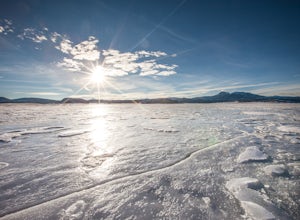
The Antero Reservoir was the first dam built on the South Platte River. The reservoir is best known for its large rainbow trout and rainbow x cutthroat hybrid trout. It's also home to brown trout, snake river cutthroat trout, cutthroat trout, brook trout, and splake.The earth filled Antero Dam wa...Read more -
Buena Vista, Colorado
Hope Pass via Willis Gulch
5.08.75 mi / 3297 ft gainHope Pass is accessed from the Willis Gulch trailhead about 25 miles outside of Leadville, Colorado. To get to the trail head, follow Highway 24 East for about 16 miles until you arrive at the junction for Highway 82. Turn right and follow Highway 82 for about 8.3 miles. You will see a sign on th...Read more -
Buena Vista, Colorado
Hike to the Historical Interlaken Resort
5.06 mi / 500 ft gainFollow Colorado Highway 24 South from Leadville for 14 miles, then turn right onto Colorado 82 towards Aspen. Turn left onto County Road 25, then follow the road for 1 mile to a small parking area for the Colorado Trail. You have arrived!This trail starts near 9,200 feet of elevation and while yo...Read more -
Buena Vista, Colorado
Backpack the Buffalo Peaks Wilderness Loop
5.011.7 mi / 2000 ft gainStarting at the Rich Creek Campground this wonderful moderate hike forms a loop by connecting the Rich Creek Trail and the Tumble Creek trail. in the Buffalo Peaks wilderness. Flanked by the Collegiate Peaks, in Spring and Summer the area is awash with rushing creeks, lush wet lowlands & deep...Read more -
Buena Vista, Colorado
Mt. Elbert via Black Cloud Trail
4.510.69 mi / 4967 ft gainDirections: Heading south from Leadville from U.S. 24: West on CO 82 for 10.5 miles to a hidden right turn that leads to a trail head. If you make it to the Mt. Elbert Lodge, you have gone just a bit too far. The parking lot (aka: dirt access) should be relatively empty as everyone tends to hik...Read more -
Twin Lakes, Colorado
Kayak Twin Lakes
Twin Lakes are two bodies of water that are connected by a short run of water with a dam at the eastern end. There are a few different places to put in your boat including boat ramps by the access point on the east end of the lake. There is also a boat ramp and a place to seasonally rent boats by...Read more -
Twin Lakes, Colorado
Camp at Twin Lakes' White Star Campground
4.5This area is located on the other side of Independence Pass from Aspen, which is only accessible during the summer, or can be reached year-round via Leadville, which is about 20 miles away along Highway 24. From Twin Lakes Village drive approximately 1.5 miles east on Highway 82 and take the exit...Read more -
Buena Vista, Colorado
Summit La Plata Peak
5.09.25 mi / 4500 ft gainThe Northwest Ridge is the most easily accessible and popular route, and for good reasons. The trailhead is on the side of Hwy 82, otherwise known as Independence Pass, about 14.5 miles from the Hwy 24 junction, or about 10 miles from Twin Lakes to the east. The trailhead is hard to miss, and you...Read more -
Independence, Ohio
Hike Mountain Boy Ridge from the Top of Independence Pass
5.06 miThe trailhead is to the Independence Pass viewing deck is located at the Summit parking area, which is about 20 miles from Aspen and 24 miles west of Highway 24 on the Leadville side. At the parking area you will notice a paved walkway that takes you to the viewdeck, which is a easy five minute w...Read more -
Independence, Ohio
Hike Lost Man Pass via Independence Lake
5.04.5 mi / 1200 ft gainPark at the pull out just west of independence pass. From there, begin on the Linkin's Lake Trail. The trail is generally easy to follow (although it can be muddy as it is a wet area) and climbs 900 feet in the 1.8 miles to independence lake. From Independence lake it is about 0.5 miles and 400 f...Read more -
Independence, Ohio
Watch the Sunset from Independence Pass
1.0Start in the town of either Aspen or Twin Lakes and continue on Interstate 82 to the top of Independence Pass. Along the way, keep your eyes peeled for the Ghost Town of Independence, fields of wildflowers and the occasional moose, elk or deer. Continue on to the top of the pass where you will fi...Read more -
Independence, Ohio
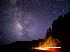
Photograph the Milky Way on Independence Pass
From Aspen CO, drive up highway 82 towards Twin Lakes and stop at the top of the pass.Once you reach the continental divide there will be a sign that says Independence Pass with an elevation of 12,095 feet. Here you can park the car for free and use the bathroom area.To photograph the milky way y...Read more -
Independence, Ohio
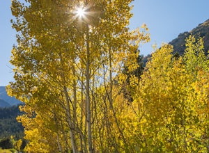
Photograph Fall Colors Along Independence Pass and Twin Lakes, CO
5.0While this is a more of a photography adventure and a fall drive to take through Colorado, there are also many areas to hike along the way. The drive can start from really anywhere in the general area. From the front range area of Colorado, head up I70 and get off toward Twin Lakes around Copper....Read more -
Leadville, Colorado
Hike Mount Massive
4.8Starting from the Mt Massive Trailhead off of Halfmoon Creek Road (a half mile past the more popular Mt Elbert Trailhead), follow the excellent and easy trail into the woods. This trail is wide and abnormally flat for a 14er trail for the first three miles. During these first 3 miles the only rea...Read more

