Avon, Colorado
Top Spots in and near Avon
-
Twin Lakes, Colorado
Camp at Twin Lakes' White Star Campground
4.5This area is located on the other side of Independence Pass from Aspen, which is only accessible during the summer, or can be reached year-round via Leadville, which is about 20 miles away along Highway 24. From Twin Lakes Village drive approximately 1.5 miles east on Highway 82 and take the exit...Read more -
Dillon, Colorado
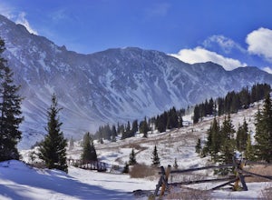
Bakerville Scenic Snowshoe/XC Ski Trek
4.0In summer, Stevens Gulch Road, the access point to Grays Peak and Torreys Peak, is typically packed with adventurers intent on summiting a 14er or two. Once the snow comes, this unmaintained road becomes impassible, and the once busy lane transforms into a silent and pristine haven for snowshoers...Read more -
Dillon, Colorado
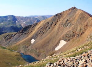
Grays Peak via the South Ridge
9.9 mi / 3970 ft gainGrays is easily one of the most popular 14ers in Colorado due to its moderate difficulty and proximity to Denver. Grays Peak is an awesome 14er but the crowds take away from the hike. And while the views on top of Grays are amazing, the barren landscape of the hike to get there isn't the most ama...Read more -
Twin Lakes, Colorado
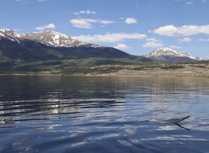
Kayak Twin Lakes
Twin Lakes are two bodies of water that are connected by a short run of water with a dam at the eastern end. There are a few different places to put in your boat including boat ramps by the access point on the east end of the lake. There is also a boat ramp and a place to seasonally rent boats by...Read more -
Fairplay, Colorado
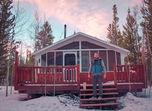
Stay the Night in an Off-Grid Cabin in Fairplay, CO
This will be an amazing experience for anyone that books this cabin, guaranteed. It's the perfect size with a kitchen, living room, bunk beds, and back porch. In addition to the main house there is a tree house that has a couch and a bed in it as well; so the property can host a decent sized grou...Read more -
Buena Vista, Colorado
Summit La Plata Peak
5.09.25 mi / 4500 ft gainThe Northwest Ridge is the most easily accessible and popular route, and for good reasons. The trailhead is on the side of Hwy 82, otherwise known as Independence Pass, about 14.5 miles from the Hwy 24 junction, or about 10 miles from Twin Lakes to the east. The trailhead is hard to miss, and you...Read more -
Glenwood Springs, Colorado
Hike the Grizzly Creek Trail
5.07.9 mi / 1900 ft gainTake exit 121 off Interstate 70 (a rest stop exit), and follow signs to a secondary parking lot near Grizzly Creek. This is a great addition to the nearby Hanging Lake & Spouting Rock hikes just 4 miles East on I-70. Because these two are so popular, Grizzly Creek is a great, not very well kn...Read more -
Buena Vista, Colorado
Mt. Elbert via Black Cloud Trail
4.510.69 mi / 4967 ft gainDirections: Heading south from Leadville from U.S. 24: West on CO 82 for 10.5 miles to a hidden right turn that leads to a trail head. If you make it to the Mt. Elbert Lodge, you have gone just a bit too far. The parking lot (aka: dirt access) should be relatively empty as everyone tends to hik...Read more -
Silver Plume, Colorado
Grays and Torreys Peaks
4.37.97 mi / 3458 ft gainAt about an hour's drive from Denver, Grays Peak (14,270 ft./4338m) and its sister mountain, Torreys Peak (14,267 ft./4337m), are two of the most popular 14ers in the state. Because of this, a wealth of information is available on the internet. Rather than go into all the details of the technical...Read more -
Silver Plume, Colorado
Torrey's Peak via Kelso Ridge
5.05.79 mi / 2982 ft gainThe start of this route up the Kelso Ridge is the same as doing the standard route of Gray's and Torrey's peaks. From the trailhead cross the large metal bridge and continue on the great trail as it slowly climbs away from the parking lot and trailhead. This first section is not steep, but prov...Read more -
Silver Plume, Colorado
Grays Peak Trail
4.57.25 mi / 2995 ft gainThe first challenge you'll face on your way to the summit of Gray's peak is Steven's Gulch Road. My Corolla rolled up to the start of what I’ve seen described as a “4x4 road that should probably not be attempted in a low clearance vehicle”. But what the heck, it was late, and I didn't feel like w...Read more -
Basalt, Colorado
Hike Hay Park
Head south out of Carbondale on Highway 133. Two miles from the Main Street roundabout, take a left on Prince Creek Road. Follow this road up to Dinkle Divide and follow the signs to Dinkle Lake. Continue up the road until you see a large, fenced in parking area with a toilet on the left. This is...Read more -
Basalt, Colorado
Camp at Thomas Lake and Summit Mt. Sopris
5.013 mi / 4400 ft gainWith the Elk Mountain range behind it, It appears to be standing by itself, and has the resemblance of a grand volcano.From Hwy 133 out of Carbondale, turn down Prince Creek Road and drive 6 miles to the trailhead. The trail is a nice mixture of meadows and woods, with excellent views of the vall...Read more -
Carbondale, Colorado
Camp at Prince Creek
3.0From Colorado State Highway 82, turn south onto Highway 133 (toward Carbondale). Continue south past the Carbondale Main Street roundabout. After two miles, turn East onto Prince Creek Road. Follow this four miles to where the pavement ends. After passing through a cattle gate, BLM land lines the...Read more -
Carbondale, Colorado
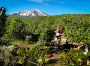
Mountain Bike Prince Creek
Turn south off Colorado State Highway 82 onto Highway 133 toward Carbondale. Continue south past the Carbondale Main Street roundabout. After two miles, turn East onto Prince Creek Road. Follow this four miles to where the pavement ends. This is the best place to park to start biking or running.F...Read more -
Aspen, Colorado
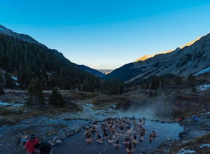
Conundrum Hot Springs via Conundrum Creek
4.316.77 mi / 2717 ft gainAfter picking up your required overnight permit, start your morning with a coffee in Aspen, then drive out 15 min to the trailhead at the end of Conundrum Creek road. The trail is a straight shot 9 miles up the valley, through expansive meadows and an always incredible view of the mountains and ...Read more


