Watsonville, California
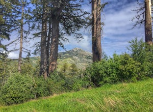
One of the top outdoor activities in Watsonville, California is hiking the Mount Madonna County Park trail. This moderate difficulty trail offers a scenic view of the redwood forest and sweeping vistas of the Santa Clara Valley. If you're lucky, you might spot deer, wild turkeys, or even the rare white fallow deer. Another must-visit is the Pajaro Valley Historical Association, where you can take a leisurely walk through history. For those who prefer water activities, Watsonville Slough is perfect for kayaking and bird watching. For a unique outdoor adventure, visit Gizdich Ranch for a fun day of apple picking. The best Trails and Outdoor Activities in Watsonville surely offer something for everyone.
Top Spots in and near Watsonville
-
Portola Valley, California
Hike the Windy Hill Loop
4.37.2 mi / 1400 ft gainThis 7.2-mile loop starts by heading out of the parking lot and onto the Spring Ridge Trail. Head Southeast On Spring Ridge Trail until you connect with Hamms Gulch Trail. When you jump on Hamms Gulch, head southwest for ~3.4 miles as you circle the far end of the OSP. At this point, you will con...Read more -
Stanford, California
Sunset Picnic at Kite Hill
4.0Kite Hill is nothing more than what the name describes. A simple ascent less than 100 feet in elevation. But that 100 feet is all you need to feel like you discovered a little escape from the buzz below.To get there, you can park directly at the base of Kite Hill along Peter Coutts Rd and simply ...Read more -
Portola Valley, California
Sunrise Hike at Windy Hill
5.0There are a few options to this hike. Usually I would recommend parking in the lot on Portola Road, but because the preserve doesn't open until 30 minutes before sunrise, it's best to park up on Skyline Boulevard (Highway 35). There are two places to park up on Skyline, but the main parking lot i...Read more -
Paicines, California
Balconies Cave Trail
2.63 mi / 617 ft gainBalconies Cave Trail is an out-and-back trail where you may see wildflowers located near Paicines, California.Read more -
Fremont, California
Mission Peak via Hidden Valley Trail
4.26.16 mi / 2116 ft gainBreathtaking views of the Bay Area are your reward for making this climb to the top of Mission Peak. It’s a 3-mile trek to the top of the peak and then back down the same way. This is a moderate hike that provides a nice workout – so be prepared. Park at the Stanford Avenue entrance gate. There ...Read more -
Paicines, California
Hike the Juniper Canyon, High Peaks, Tunnel Trail Loop in Pinnacles NP
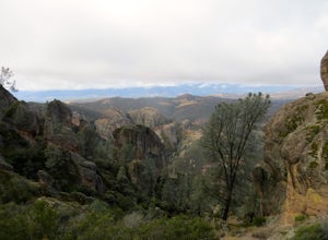
5.04.3 mi / 1200 ft gainPinnacles National Park is located just over two hours outside of San Francisco (depending on the traffic). It was designated the 59th national park in 2013 and while it is small it offers beautiful views and unique wildlife viewing. Keep an eye out for California condors on this hike! This trail...Read more -
Sunol, California
Little Yosemite via Canyon View Trail
4.03.01 mi / 705 ft gainPlease note this is a fragile ecosystem and watershed. There is NO swimming allowed in Alameda Creek and trespassing is prohibited on Water Department lands that are not accessible to the public. You can learn more about the restrictions and the area at ebparks.org. After entering the kiosk you...Read more -
Pescadero, California
Catch a Sunset at Bean Hollow State Beach
5.0There are a bunch of places to photograph this beach if you head north on the trail that runs along the beach.There is parking at the beach but it can fill up quickly!The only warning you need is about the tide. Make sure you are watching it the entire time because it can creep up on you and will...Read more -
San Benito County, California
Explore Pinnacles National Park
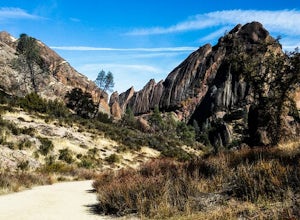
4.6It’s hard to believe how many people don’t know about this place, which was newly designated as a National Park in January 2013. Pinnacles National Park is hidden just south of San Jose in the Gabilan Mountains, and is a short drive for anyone living in the Bay Area.With beautiful rock spires pie...Read more -
Paicines, California
Hike the Old Pinnacle Trail in Pinnacles National Park
5.09 mi / 2000 ft gainStart at the Old Pinnacles Trailhead and embark on a roughly 9 mile long adventure surrounded by amazing geological rock formations and natural landscapes. Bask in the peace of nature... meander through meadows alongside the West Fork of Chalone Creek and into Old Pinnacles. Continuing on at the ...Read more -
Paicines, California
Hike the High Peaks & Balconies Cave Loop
5.08.4 mi / 1540 ft gainThis hike can begin at Old Pinnacles Trailhead (East Entrance) or Chaparral Trailhead (West Entrance) and can be hiked in either direction. This description is from Old Pinnacles Trailhead, hiking clockwise, which gets the most demanding part of the hike done first. From Old Pinnacles Trailhead w...Read more -
Big Sur, California
Hike the Creamery Meadow Trail to Molera Beach
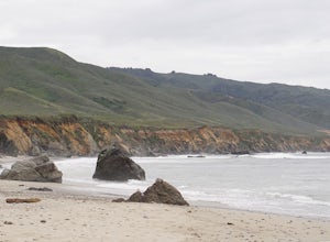
2 miEntrance to the parking lot is $10 per car, and once you get in be sure to use the restroom before you head for the trail, since you will likely spend a good amount of time out there.Look for the sign that says Creamery Meadow Trail. You'll know it's right when the very first thing you'll need to...Read more -
Big Sur, California
Camp at Andrew Molera State Park
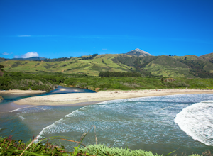
4.51 miAndrew Molera is about 27 miles south of Carmel and one of the first State Parks you'll hit heading down the coast. There will be signs for the Park as you approach and the main parking lot is only a couple hundred yards from Hwy 1. There are a number of hiking trails and activities to do around ...Read more -
Big Sur, California
Hike the Andrew Molera State Park Loop
4.58.8 mi / 1100 ft gainThe loops starts at the Andrew Molera State Park parking lot (4.5 miles north of the entrance to Pfeiffer Big Sur State Park along Highway 1). Begin by crossing the Big Sur River using the seasonal bridge. If the bridge has been removed, you will need to cross the water by foot. Usually the water...Read more -
Big Sur, California
Hike the East Molera Trail
3.2 mi / 1390 ft gainHoused in Andrew Molera State Park, the East Molera Trail is easily accessible from Highway 1 with parking and restrooms available to hikers. A $10.00 entry fee is required but also provides entrance to Pfieffer Big Sur State Park just a few miles down the road.The trail head is located east of t...Read more -
Paicines, California
Hike to Bear Gulch Reservoir in Pinnacles National Park
3.51.5 mi / 275 ft gainStart the hike from the Bear Gulch Trail Parking lot. While pulling in, the trail head is on the left. The Trail is marked Reservoir, Caves, and High Peaks. Continue down the trail until faced with a junction. Make sure to admire rock formations while hiking!At the junction take the Bear Gulc...Read more

