Watsonville, California
One of the top outdoor activities in Watsonville, California is hiking the Mount Madonna County Park trail. This moderate difficulty trail offers a scenic view of the redwood forest and sweeping vistas of the Santa Clara Valley. If you're lucky, you might spot deer, wild turkeys, or even the rare white fallow deer. Another must-visit is the Pajaro Valley Historical Association, where you can take a leisurely walk through history. For those who prefer water activities, Watsonville Slough is perfect for kayaking and bird watching. For a unique outdoor adventure, visit Gizdich Ranch for a fun day of apple picking. The best Trails and Outdoor Activities in Watsonville surely offer something for everyone.
Top Spots in and near Watsonville
-
Pescadero, California
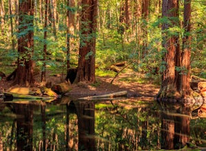
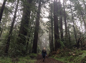
Hike the Little Butano Creek Trail
1.5 miThis short hike follows Little Butano Creek through a lush redwood forest. The trail crosses the creek multiple times as you walk over redwood pine needles and through pockets of ferns. Dogs can join on this trail, but must be on leash.Read more -
La Honda, California
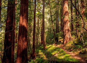
Hike the Brook Trail Loop
7.1 mi / 1500 ft gainThe Brook Trail Loop is a beautiful hike, starting off in Sam McDonald County Park and later entering into Pescadero Creek County Park. This adventure can be done in any season, with the trails almost entirely shaded for even the hottest summer days. Starting off from the Heritage Grove trailhead...Read more -
Pescadero, California
Hike the Canyon Rim Route in Butano State Park
5.011.7 miLocated deep within the Santa Cruz Mountains, Butano State Park boasts a large redwood canyon with many miles of hiking trails as well as campsites. This state park is one of the quietest and least visited parks on the peninsula making a perfect place to escape the hustle of the Bay Area Butano S...Read more -
San Jose, California
Catch a Sunset at Alviso Marina County Park
3.09 mi / 72 ft gainThis tranquil 20.6 acre park is open year round from 8am to sunset. It’s the gateway to the Don Edwards San Francisco Bay National Wildlife Refuge. It is filled with boardwalks, trails, and all kinds of wildlife. I went here with the sole intent of catching a pretty sunset after a long week. I g...Read more -
Monterey, California
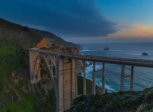
Bixby Bridge
4.7You can't miss this bridge if you are driving north on highway one. The best time for capturing sunsets behind the bridge is December. The positioning of the sun will better coincide with the location of the bridge.There are four main angles to capture the bridge: The first two are up close on ...Read more -
Loma Mar, California
Bike Pescadero Creek County Park
5.012.5 mi / 1350 ft gainPescadero Creek County Park and the connected Sam McDonald and Memorial Park are located deep in the Santa Cruz Mountains holding a vast network of secluded trails. From biking to backpacking, this area is a perfect place for a day or weekend adventure. This area also has the added bonus having r...Read more -
Carmel-by-the-Sea, California
Pat Springs via Skinners Ridge
3.513.18 mi / 3645 ft gainBackpacking to Pat Springs is a way to see Big Sur and the San Lucia mountains from a perspective that few get to experience. The Ventana Wilderness is rugged and remote, yet Pat Springs is one of the most beautiful campgrounds around that will allow you to take in this amazing terrain. To get ...Read more -
La Honda, California
Sam McDonald Park Loop
5.012.19 mi / 2192 ft gainThe Pescadero Creek Park Complex is a great place to escape for a day or overnight hike in the heart of the Bay Area. You will need to get a permit to stay overnight - these can be attained on a first-come, first-serve basis from the ranger station. Most of the campsites here are also available f...Read more -
Los Altos, California
Park Day at Foothills Park
1.7Disclaimer: Foothills Park requires proof of residence in Palo Alto or being accompanied by a resident of the city. Learn more here.Foothills Park is 2.7 miles west of 280 after exiting Page Mill. After exiting you take a short scenic drive up the hill and come to the park entrance on your right...Read more -
Loma Mar, California
Camp Under the Redwoods at Memorial Park
With old growth redwoods and a creek swimming area, Memorial Park is a perfect escape from the hustle and bustle of the Bay Area. Memorial Park is only a few miles east of the town of Pescadero. To get here, you can either approach from Highway 1 and drive up Pescadero Creek Road or take Highway ...Read more -
Pescadero, California
Explore the Pidgeon Point Lighthouse
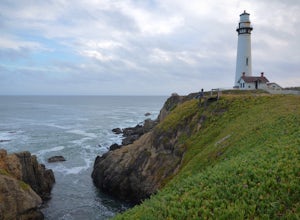
5.0Pidgeon Point Lighthouse is conveniently located just 50 miles south of San Francisco. Constructed in 1872 and standing at 115 feet, it is among the tallest lighthouse in America.Part of the state park system, it is surprisingly secluded. Numerous parking space were available in the lot with hand...Read more -
Pescadero, California
Exploring Big Sur to Pigeon Point
We started off in Big Sur and took as many pull-off viewpoints as possible between Big Sur and the final destination, Pigeon Point Lighthouse. The weather was foggy in some spots but would open up to reveal the vast Pacific Ocean and sun in others. The weather was mild for us but we're familiar w...Read more -
Palo Alto, California
Hike the Arastradero Preserve Loop
3.04.5 mi / 600 ft gainGetting There: From Hwy 280, take the Page Mill Road exit and head West on Page Mill Road, away from Downtown Palo Alto (if you're taking 101, exit on Oregon Expressway). Then turn right on Arastradero Road. There will be a small sign indicating the dirt parking lot on the eastern side of the str...Read more -
Soledad, California
Explore Dreamy Wrath Wines Vineyards
Just a short drive from some of the best trails and rock climbing at Pinnacles National Park, Wrath Wines' Soledad winery is a great way to wine'd down after a day of adventure. What makes this grape growing region unique is the constant marine layer fog and wind stress out the grapes (that’s a ...Read more -
3160 North Shoreline Boulevard, California
SUP Shoreline Lake
3.0Shoreline Lake features a big lake, many hiking and biking trails, and lot of picnic areas in Mountain View, CA. Kayaks, SUP, and various boats can be rented from the boat house. This is a great place to enjoy the water no matter what season it is. There are large grassy areas for kids to run and...Read more -
Stanford, California
Stanford Dish Loop
4.43.67 mi / 472 ft gainIf you live in the Palo Alto area and are looking for a place to hike or run, The Dish is a close, and great way to get that exercise. Located right on the corner of Stanford Ave and Junipero Serra, you'll see that small gated entrance right when you drive on by. As far as parking goes, you're le...Read more

