San Benito County, California
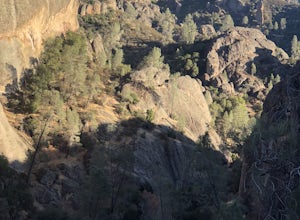
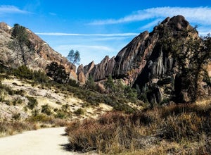
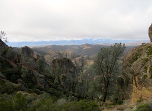
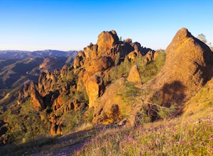
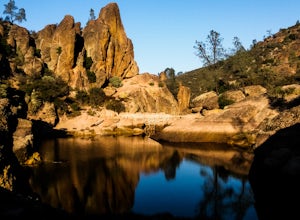
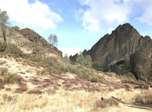
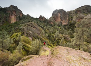
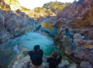
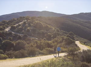
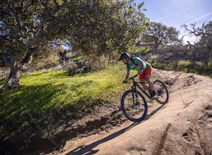
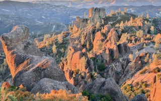
The best Trails and Outdoor Activities in San Benito County, California offer a myriad of opportunities for outdoor adventures. Among the top must-visit sites is the Pinnacles National Park, known for its unique rock formations and scenic hiking trails. The High Peaks Trail is a challenging 6-mile round trip hike, featuring rocky terrain and panoramic views of the park's volcanic peaks. For a more leisurely hike, the Bench Trail offers a 2.4-mile round trip journey along the peaceful Chalone Creek. If water activities are more your style, the San Benito River offers opportunities for fishing and bird watching. The Hollister Hills State Vehicular Recreation Area is also a popular spot for off-road biking. Whatever your preference, San Benito County offers a variety of outdoor activities to suit every adventurer.
Top Spots in and near San Benito County
-
Paicines, California
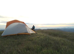
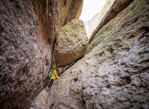
Camp in Pinnacles National Park
4.0/ 1819 ft gainPinnacles Campground is accessible from the east side of the park, and you generally lose cell service about 20 minutes before the park entrance. The campground offers tent camping, group camping, and a handful of RV sites. The tent and group sites have individual picnic tables and fire rings, an...Read more -
Paicines, California
Hike the Old Pinnacle Trail in Pinnacles National Park
5.09 mi / 2000 ft gainStart at the Old Pinnacles Trailhead and embark on a roughly 9 mile long adventure surrounded by amazing geological rock formations and natural landscapes. Bask in the peace of nature... meander through meadows alongside the West Fork of Chalone Creek and into Old Pinnacles. Continuing on at the ...Read more -
Paicines, California
Hike the High Peaks & Balconies Cave Loop
5.08.4 mi / 1540 ft gainThis hike can begin at Old Pinnacles Trailhead (East Entrance) or Chaparral Trailhead (West Entrance) and can be hiked in either direction. This description is from Old Pinnacles Trailhead, hiking clockwise, which gets the most demanding part of the hike done first. From Old Pinnacles Trailhead w...Read more -
San Benito County, California
Explore Pinnacles National Park
4.6It’s hard to believe how many people don’t know about this place, which was newly designated as a National Park in January 2013. Pinnacles National Park is hidden just south of San Jose in the Gabilan Mountains, and is a short drive for anyone living in the Bay Area.With beautiful rock spires pie...Read more -
Paicines, California
Hike to Bear Gulch Reservoir in Pinnacles National Park
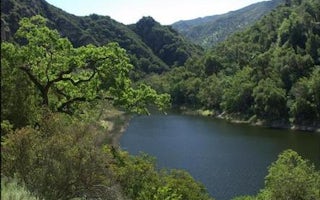
3.51.5 mi / 275 ft gainStart the hike from the Bear Gulch Trail Parking lot. While pulling in, the trail head is on the left. The Trail is marked Reservoir, Caves, and High Peaks. Continue down the trail until faced with a junction. Make sure to admire rock formations while hiking!At the junction take the Bear Gulc...Read more -
Paicines, California
Balconies Cave Trail
2.63 mi / 617 ft gainBalconies Cave Trail is an out-and-back trail where you may see wildflowers located near Paicines, California.Read more -
Paicines, California
Hike the Juniper Canyon, High Peaks, Tunnel Trail Loop in Pinnacles NP
5.04.3 mi / 1200 ft gainPinnacles National Park is located just over two hours outside of San Francisco (depending on the traffic). It was designated the 59th national park in 2013 and while it is small it offers beautiful views and unique wildlife viewing. Keep an eye out for California condors on this hike! This trail...Read more -
Soledad, California
Explore Dreamy Wrath Wines Vineyards
Just a short drive from some of the best trails and rock climbing at Pinnacles National Park, Wrath Wines' Soledad winery is a great way to wine'd down after a day of adventure. What makes this grape growing region unique is the constant marine layer fog and wind stress out the grapes (that’s a ...Read more -
Greenfield, California
Adventure at Arroyo Seco
4.6This off-the-beaten-trail adventure has a little bit of everything for everyone, and is as challenging as you make it. Many just make it about a mile down to the river for a leisurely day of relaxing, swimming, sunbathing, and enjoying a few cold beverages. Others embark on a 7+ mile adventure up...Read more -
Salinas, California
Hike or Trail Run around Toro Park
Just a short drive from downtown Monterey you will find yourself amongst the rugged yet serene hills ofToro Park. For a $2 admission fee you will have access to 20+ miles of trails that climb through canyons and run along ridgelines to peaks with views of the ocean in the distance. While the map ...Read more -
Salinas, California
Mountain Bike at Fort Ord National Monument
5.0Fort Ord National Monument is a fantastic place to cruise around on your mountain bike, whether you are a beginner or an experienced rider looking for flowy trails to cruise on. Access is easy from the highway and there is ample room in the parking lot even on busy days. Dozens of trails wind th...Read more -
Gilroy, California
Redfern Pond via Hunting Hollow
5.07 mi / 1263 ft gainHenry W. Coe State Park, northern California's largest, provides outdoor enthusiasts with over 89,000 acres of land to explore, as well as 22,000 acres of designated wilderness area. With all of this space, the outdoor adventures are seemingly endless. We recommend a multi-day backpacking trip to...Read more -
Merced, California
Photograph the Merced National Wildlife Refuge
5.0Merced National Wildlife Refuge is one of the best places to go and take photos of birds as the refuge plays host to the largest wintering populations of Lesser Sandhill Cranes and Snow/ Ross geese along the Pacific Flyway. Each autumn more than 20,000 cranes and 60,000 arctic-nesting geese termi...Read more -
Marina, California
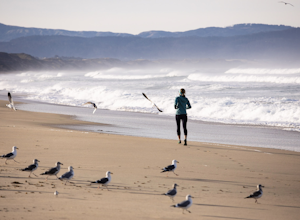
Surf, Run, or Catch a Sunset at Marina State Beach
From the moment you turn into the parking lot, you know Marina State Beach is special. Grab a parking spot in the large lot and then run down the dunes and onto the shoreline! The beach feels spacious on this section of the shore and gives plenty of room to run around or to put down a blanket to ...Read more -
Marina, California
Explore Fort Ord Dunes State Park
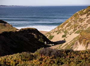
5.0One of the best parts of Monterey is the beaches – but their popularity is also their weakness, so if you want seclusion head to the lesser-known Fort Ord Dunes for solitude and beautiful views of Monterey Bay and the Pacific Coast. Historically, this location was chosen as the location for Fort ...Read more -
Moss Landing, California
Whale Watching off Moss Landing
The Monterey Bay National Marine Sanctuary is home to some of the most diverse and rich waters in our oceans, and you have the chance to see it up close and personal! The big prize is getting to see a whale, but these waters are teeming with other wildlife from dolphins to otters to sea lions. F...Read more
Top Activities
Camping and Lodging in San Benito County
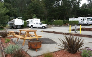
Salinas / Monterey KOA
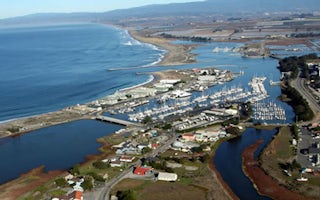
Moss Landing KOA Express
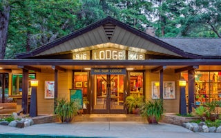
Big Sur Lodge
From $199 / night

