Tuolumne, California
The best Trails and Outdoor Activities in Tuolumne, California offer a variety of outdoor adventures. The top must-visit is the Westside Trail, a moderate 6-mile hike that features the historic Sugar Pine Railroad grade and stunning views of the Middle Fork Stanislaus River. The trail is well-marked and offers a mix of shade and sun, making it a great choice for all seasons. For a more challenging hike, try the Pinecrest Peak Trail. This 12-mile trail is steep and rocky, but the panoramic views of the Sierra Nevada Mountains are worth the effort. If you prefer water activities, the Clavey River is perfect for whitewater rafting and fishing. Remember to pack your camera to capture the scenic beauty of these natural attractions.
Top Spots in and near Tuolumne
-
YOSEMITE NATIONAL PARK, California
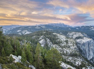
Hike to Eagle Peak via Rockslides Trail
4.016.07 mi / 5568 ft gainA Yosemite Valley trip in May has tourist filled buses, noisy car alarms, and crowded trails written all over it. Thus, I wanted to avoid the beaten path. Looking into possible destinations, John Muir once said in regards to Eagle Peak, "where the most comprehensive of all the views to be had on ...Read more -
Yosemite Village, California
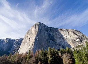
Watch the Sunset in El Capitan Meadow
After entering the park, keep driving the loop until you get onto Northside Drive, and then park once you are right below El Capitan (the 3,000ft granite monolith that is very hard to miss).Once you've parked, grab a blanket, snacks, and a beverage. With these items in hand, walk over to the eas...Read more -
Mariposa County, California
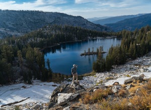
10 Lakes Basin in Yosemite
5.013.38 mi / 2200 ft gainBeginning at the Ten Lakes trailhead, the trail to the lakes is a moderately strenuous uphill grind to Ten Lakes pass, followed by a quick downhill into the lake basin. We met a woman at the top who made sure we didn’t miss the short side trail to a vista point on the pass that offered a sweeping...Read more -
Mariposa County, California
Grant Lake via Ten Lakes Trailhead
4.012.24 mi / 2000 ft gainThe trail begins at the Ten Lakes trailhead (7600 ft) right beside Yosemite Creek. The first 4 miles start you on the ascent through the wooded forest, however there are portions of the trail that will take you through granite rock valleys marked with only cairns so keep your eyes peeled througho...Read more -
Yosemite National Park, California
Winter Backpack to Sentinel Dome in Yosemite
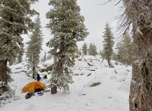
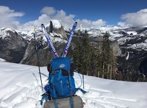
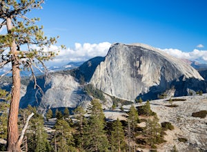
5.019.23 mi / 860 ft gainThe goal for our weekend was to do some winter camping in the Yosemite backcountry; we decided on Sentinel Dome as our destination. The trail is a cakewalk during the summer, but winter turns it into a 10 mile uphill grind from the car. Most people opt to head for the ski hut at Glacier Point, bu...Read more -
Yosemite National Park, California
Dewey Point via Badger Pass Ski Area
5.07.36 mi / 761 ft gainTake the one-hour shuttle ride from the Yosemite Lodge to the Yosemite Ski Area, so that you don't have to worry about driving in the snowy conditions, or finding parking. If you don’t own snowshoes, you can easily rent a pair from the rental shop for the day. Current rates are $24.00 for a full ...Read more -
Arnold, California
Snow Camp at Bull Run Lake
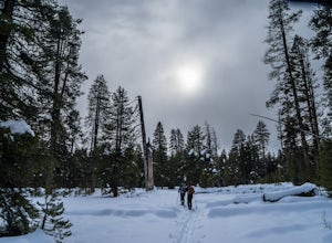
15 mi / 2400 ft gainThis is a long, beautiful snowshoe to a lake that is very accessible in the summer but almost untouched in the winter! There are a couple of ways to access the lake during the winter, but this is the most interesting: Starting at the easternmost sno-park along Highway 4 going east of Bear Valley,...Read more -
Wawona, California
Dewey Point Trail
4.95 mi / 315 ft gainThis approximately 5-mile out-and-back trail is a great hike in Yosemite National Park. This trail starts off of Dewey Point's Meadow Trail, but you can also start from the Dewey Point Ridge trail, which you'll pass first when coming up Glacier Point Road. This trail is not dog friendly, but is a...Read more -
YOSEMITE NATIONAL PARK, California
Nordic Ski and Snowshoe to Glacier Point
5.021 miKnown for its breathtaking vistas, towering granite faces, and thundering waterfalls, Yosemite National Park truly is one of the world’s most astounding landscapes. Though the park covers nearly 1200 square miles, the vast majority of the ~4 million annual visitors spend almost all their time ar...Read more -
YOSEMITE NATIONAL PARK, California
Cross-Country Ski to the Ostrander Ski Hut
Start your trip from the Badger Pass ski area. The Glacier point road is closed past here, and you'll spend your first couple of miles skiing mostly downhill to the Bridalveil Falls trailhead.The Bridelveil Creek trail gains slightly less elevation but is less scenic and longer than the more popu...Read more -
Mariposa County, California
Camp at Camp 4, Yosemite NP
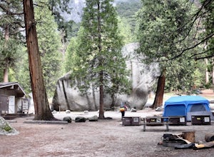
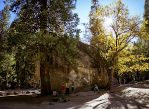
4.5Camp 4 is located in Yosemite Valley near Yosemite Valley Lodge. It's a popular spot for climbers as there is bouldering within the site. It's also located close to the Upper Yosemite Falls trail. Pets are not allowed. First come, first serve, $6/night. More info at https://www.nps.gov/yose/plany...Read more -
Mariposa County, California
Backpack to Yosemite's Eagle Peak via Yosemite Falls
12.6 mi / 3779 ft gainGet a permit. Any overnight backpacking in Yosemite requires a permit from the Wilderness Center. Before you leave make sure to get one! Get a bear canister! Bears are active in Yosemite and all backpackers must take the required measures to keep food away from them! Start at Camp 4. Eagle Pe...Read more -
Mariposa County, California
Rock Climb in Camp 4
5.0Some of the best bouldering in Yosemite Valley is on these polished granite boulders. This is an incredibly popular spot, especially during the summer months because of the tourist season. There's a small parking lot for Camp 4, but if that fills up, you'll have to park elsewhere and either walk ...Read more -
Yosemite Valley, California
Hike the North Dome Loop via Yosemite Falls Trail
4.018 mi / 5200 ft gainOne ofthe most challenging and rewarding hikes on the northern rim of YosemiteValley. This is an alternative to the often crowdedMist, Panorama or 4-Mile Trails. Or if you are not able to grab a permit tohike Half Dome this is great choice. Some of the highlights include hiking tothe top of Nort...Read more -
Yosemite Valley, California
El Capitan Trail
5.014.68 mi / 5052 ft gainStart on the Yosemite Falls trailhead and work your way up. Yosemite Falls can be anywhere from a huge flow to a slow trickle depending on the time of year. Hiking boots are absolutely necessary and hiking poles are a huge benefit. Say hello to rock climbers at the top as they finish their El Cap...Read more -
Mariposa County, California
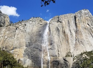
Yosemite Point
5.07.35 mi / 4354 ft gainStarting at the Yosemite Falls Trailhead in Yosemite Valley, the trek up to the Upper Yosemite Falls overlook has a steep 3,175 ft elevation gain across switchbacks, rocks, and gravelly trails. Hiking poles recommended, but not necessary. The trail to Yosemite Point beyond Upper Yosemite Falls ...Read more

