Tuolumne, California
The best Trails and Outdoor Activities in Tuolumne, California offer a variety of outdoor adventures. The top must-visit is the Westside Trail, a moderate 6-mile hike that features the historic Sugar Pine Railroad grade and stunning views of the Middle Fork Stanislaus River. The trail is well-marked and offers a mix of shade and sun, making it a great choice for all seasons. For a more challenging hike, try the Pinecrest Peak Trail. This 12-mile trail is steep and rocky, but the panoramic views of the Sierra Nevada Mountains are worth the effort. If you prefer water activities, the Clavey River is perfect for whitewater rafting and fishing. Remember to pack your camera to capture the scenic beauty of these natural attractions.
Top Spots in and near Tuolumne
-
Bridgeport, California
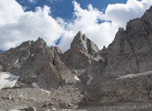
Climb Matterhorn Peak via the East Couloir
10 mi / 6000 ft gainMatterhorn Peak in the northeastern Yosemite Wilderness is an SPS Emblem Peak and many regard it as the beginning of the High Sierra, as there are no peaks higher to the north in the Sierra Nevada.There are many routes to the summit, but the shortest and most direct (though not easiest) begins at...Read more -
Wawona, California
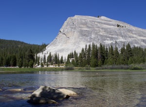
Lembert Dome via Dog Lake Trail
4.03.98 mi / 750 ft gainLembert Dome may seem impossible to scale when observing it from the trailhead, but it is actually a relatively easy hike up to the summit. It is by far the best way to see and admire Tuolumne Meadows, not to mention the granite top, which is a wonderland to explore. There are a few ways to reac...Read more -
YOSEMITE NATIONAL PARK, California
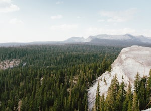
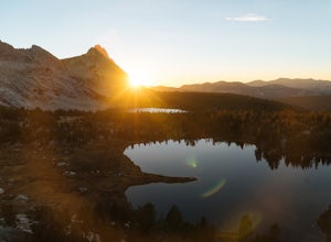
Young Lakes
4.714.14 mi / 1700 ft gainThe Young Lakes trail starts from the Lembert Dome parking area and then winds up around 6 miles into the high country past alpine meadows and stunning views of the surrounding mountains. Lower and Middle Young Lakes are beautiful, but you're going to want to push on to Upper Young Lake, where y...Read more -
Tuolumne County, California
Rock Climb Lembert Dome, Yosemite NP
Lembert Dome stands out clearly as it is right along the road with a fairly large parking lot, about 1/4 mile past the Toulumne Store. There are multiple routes on this dome and for detail on all climbs, pick up the Tuolumne Free Climbs climbing guide. The area around this dome is gorogeous with ...Read more -
YOSEMITE NATIONAL PARK, California
Mt. Conness
5.019.03 mi / 5400 ft gainThis trip is best done as a 3 day, 2 night backpacking trip making camp at Young Lakes, however it is possible to do it in a single day long haul. Start at the Lembert Dome Parking Lot and take the trail via the Dog Lake route towards Young Lakes. It's about 7 miles to the upper of the three You...Read more -
YOSEMITE NATIONAL PARK, California
Dog Lake Loop
3.03.71 mi / 740 ft gainThis 3.7 mile roundtrip hike begins at the center of Tuolumne Meadows (shuttle stop #2) at the Lembert Dome/Glen Aulin trailhead parking lot. There are restrooms and picnic tables at the east side of the lot, there you will also find the trailhead to Dog Lake. The trail begins at 8,500 ft and c...Read more -
Bridgeport, California
Hike to Barney Lake in Hoover Wilderness
3.0Barney Lake makes for an incredible day hike or trail run, but is also very accessible for camping.Start at the trailhead near the Mono Village Resort at Twin Lakes and follow the Robinson Creek Trail. If you plan on hiking during the winter, the resort will be closed and you will have to park at...Read more -
Markleeville, California
Backpack to Grouse Lake
4.711.43 mi / 2283 ft gainIt is a 6 mile hike to Grouse Lake. You begin at the trailhead which is right by Damsite Campground at Upper Blue Lake. Park in the dirt parking area and then cross the metal footbridge, and you will see the trailhead marker on your left. The trail takes you into the Mokelumne Wilderness. Follow...Read more -
37.876736,-119.346085
Glen Aulin
4.812.19 mi / 600 ft gainStart your hike to this waterfall oasis in the heart of the sierra at the parking lot for the Tuolumne Meadows Visitor Center. The Glen Aulin High Sierra Camp sits along the beautifully winding Tuolumne River. White Cascade an 80ft waterfall sits at the edge of camp and provides an excellent swim...Read more -
Pioneer, California
Camping at The Pots
4.2This fantastic camping or chilling spot has beautiful granite pools and slides of all sizes. The area consists of a river flowing over a granite slab creating pools some of which are over ten feet deep. The water cascades down the granite in small water falls. The area is located next to Silver L...Read more -
Pioneer, California
Hike to Granite Lake
Take the road to Kit Carson Lodge. When the road turns to dirt, take this one-lane dirt road as far as you can go. The road terminates into a round parking area, however, as of the writing of this post, there was a large tree blocking the road about 250 ft before the end.The Trailhead is clearly ...Read more

