Tuolumne, California
The best Trails and Outdoor Activities in Tuolumne, California offer a variety of outdoor adventures. The top must-visit is the Westside Trail, a moderate 6-mile hike that features the historic Sugar Pine Railroad grade and stunning views of the Middle Fork Stanislaus River. The trail is well-marked and offers a mix of shade and sun, making it a great choice for all seasons. For a more challenging hike, try the Pinecrest Peak Trail. This 12-mile trail is steep and rocky, but the panoramic views of the Sierra Nevada Mountains are worth the effort. If you prefer water activities, the Clavey River is perfect for whitewater rafting and fishing. Remember to pack your camera to capture the scenic beauty of these natural attractions.
Top Spots in and near Tuolumne
-
Yosemite Village, California
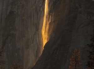
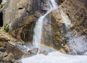
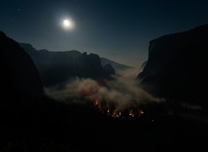
Witness Yosemite's Firefall
5.00.1 mi / 0 ft gainOver 5 million visitors flock to Yosemite National Park in California's Sierra Nevada Mountain Range every year to take in the geological splendor. While most visitors get to see the park's waterfalls, very few ever get to witness the Firefall. For two weeks between mid-late February, a small wat...Read more -
37.741904,-119.601967
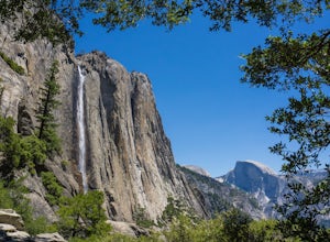
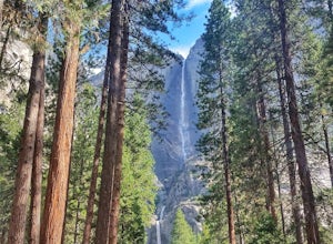
Upper Yosemite Falls
4.75.98 mi / 2700 ft gainYou can find the trailhead to Upper Yosemite Falls near Camp 4. There is plenty of free parking here and you can also take a shuttle to stop #7. Be sure to start this hike early in the day as it is strenuous and can get really hot as the day goes on. Bring plenty of water and snacks and take many...Read more -
Bear Valley, California
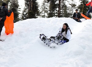
Snowshoe Bear Valley
5.0Bear Valley is a family friendly destination for snowshoeing and snow play. There are numerous trails to explore while snowshoeing. Don't be afraid to take a break and start a snowball fight! There are shops located near the resort to rent snowshoes and other snow play accessories. There are s...Read more -
Bear Valley, California
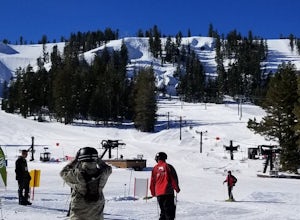
Ski or Snowboard at Skyline Bear Valley
5.0Bear Valley is nestled in the high Sierra between Yosemite and Lake Tahoe. It is a popular destination for families and nature lovers. It boasts 1,900 vertical feet over 1680 acres for skiing and snowboarding. Winter is a popular time at Bear Valley. Most visitors come to ski or snowboard, but...Read more -
Mariposa County, California
Lower Yosemite Falls
4.81.16 miAt 2,425 feet, Yosemite Falls is the highest waterfall in North America. The falls consists of three sections: Upper Falls, Middle Cascades, and Lower Falls. At 320 feet, Lower Yosemite Falls is one of the most popular attractions at Yosemite National Park. This 1-mile loop is a leisurely walk wi...Read more -
Yosemite Valley, California
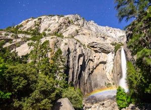
Photograph Moonbows at Yosemite Falls
1 miIn spring at Yosemite National Park, a unique phenomenon occurs, called “moonbows.” Seen during the full moon, moonbows are rainbows produced by light reflected off the surface of the moon, and are relatively faint and difficult to detect with the naked eye, but they do appear in long exposure ph...Read more -
YOSEMITE NATIONAL PARK, California
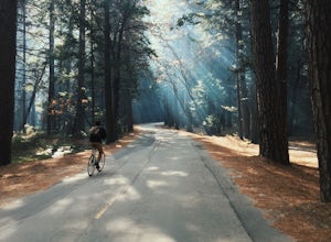
Bike Yosemite Valley
4.012 miBringing my bike to the Valley was one of the best decisions I have made on my many trips there. Everything changed after that visit and there will never be another time (unless in the dead of winter) that my bike will not be there with me. The reason is simple: everything is heightened.When Yose...Read more -
YOSEMITE NATIONAL PARK, California
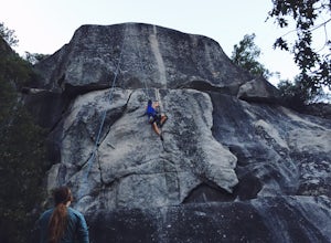
Rock Climb Penthouse Cracks, Yosemite NP
The Penthouse Cracks in Yosemite Valley are a great introduction to crack climbing, in a safe environment. With fixed protection above the routes, you are able to safely top rope these climbs. Featuring a 5.8, two 5.10 climbs, and a 5.11, everyone can find something fun to try.Park at Yosemite Lo...Read more -
Mariposa County, California
Four Mile Trail to Panorama Trail Loop
5.016.03 mi / 5177 ft gainFour Mile Trail to Panorama Trail Loop is a loop trail that takes you by a waterfall located near Yosemite Valley, California.Read more -
Mariposa County, California
Camp at Glacier Point
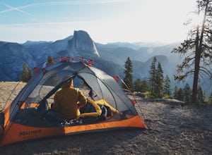
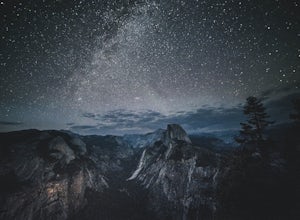
4.79.17 mi / 3491 ft gainEveryone that knows Yosemite, knows Glacier Point. An overlook that attracts thousands of people per day that drive up via Glacier Point Road is rarely vacant of the hustle and bustle of people. However, there is a loop hole here, and when the stars align you can have Glacier Point ALL to yoursel...Read more -
Mariposa County, California
Glacier Point via Four Mile Trail
5.09.59 mi / 3200 ft gainGlacier Point is one of the highlights of Yosemite. The point is located at the end of Glacier Point Road. This viewpoint allows you to survey the entire Yosemite Valley and gives the viewer a captivating sight of Half Dome. It's a little bit of a tourist trap (especially during the summer season...Read more -
Mariposa County, California
Hike to Union Point via Four Mile Trail
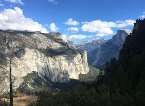
6 mi / 2332 ft gainFour Mile Trail is steep, but hikers efforts are more than rewarded. Union Point sits above Yosemite Valley at 6,332 feet - offering sweeping views of El Capitan and the valley entrance to the left, and North Dome / Half Dome & Clouds Rest to the right. You can also see Yosemite Falls straigh...Read more -
Yosemite Valley, California
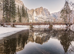
Photograph Yosemite Falls at Swinging Bridge
5.0This is a drive up and shoot adventure in winter. The spot is at Swinging Bridge area. This area is also a picnic area and hiking trail but, in my opinion, the best spot to capture Yosemite Falls is a few steps walk after you park the car. One of not so many places that you still can go in winte...Read more -
Yosemite Valley, California
Sentinel Meadow Cook's Meadow Loop Trail
4.51.99 mi / 85 ft gainThis short, easy walk provides some of the best views of several iconic Yosemite landmarks from the valley floor. If you complete the entire loop, expect to see Yosemite Falls from the Swinging Bridge, Half Dome from Sentinel Bridge (a popular spot at sunset), and the historic Yosemite Chapel. ...Read more -
YOSEMITE NATIONAL PARK, California
Dewey Point via McGurk Meadow Trailhead
5.07.51 mi / 300 ft gainBefore you start, be sure to visit the Yosemite Valley Visitor Center and grab an overnight permit. More info on this at nps.gov. This trail meanders through beautiful, dense meadows full of wildlife - watch for bears! When you're not hiking among the wildflowers and babbling brooks, you're enc...Read more -
Arnold, California
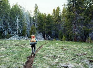
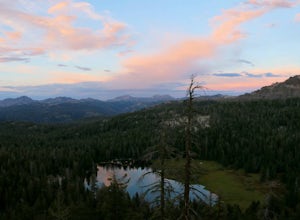
Backpack To Wheeler Lake
5.07.8 mi / 1000 ft gainThe trail to Wheeler Lake begins at the Woodchuck Basin Trailhead. This trailhead is located a little over a mile east of Lake Alpine on Highway 4. The trail starts off relatively flat and winds through forests and meadows, taking you into the Mokelumne Wilderness. Time it right and you'll be met...Read more

