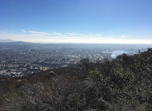
Temecula, California
Looking for the best chillin in Temecula? We've got you covered with the top trails, trips, hiking, backpacking, camping and more around Temecula. The detailed guides, photos, and reviews are all submitted by the Outbound community.
Top Chillin Spots in and near Temecula
-
Laguna Beach, California
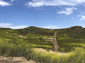
El Moro Canyon Trail
5.04.94 mi / 814 ft gainThe trail features a waterfall and is open year-round, but is best used in the spring. Remember to bring $15 cash for the parking fee. The Laguna Beach trail is shared by trail runners, mountain bikers, hikers, and the occasional horseback rider. Dogs are not allowed in Crystal Cove State Park.Read more -
San Diego, California
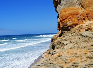
Beach Trail
5.01.43 mi / 259 ft gainI'm stoked for those of you to find this adventure! Torrey Pines is home to a species of tree that is one of the most rare native pines in the United States. Below I have directions on how to get to the trailhead as well as the parking lot to park for the hike. There is a charge to get into the...Read more -
San Diego, California
Torrey Pines Gliderport
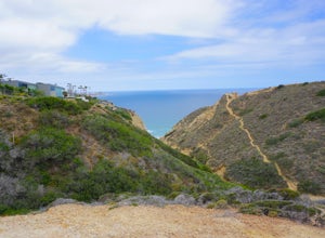
4.5Park at the Torrey Pines Gliderport and walk to the railing over the cliffs. From there you can see north to Black's Beach and the Torrey Pines golf course. To the south you can see La Jolla Shores and La Jolla cove. Walk the path down to Black's Beach if you want some exercise. There is food and...Read more -
San Diego, California
Black's Beach via the Gliderport
4.30.7 mi / 269 ft gainPark at the Torrey Pines Gliderport, which is conveniently empty before sunrise. The hike down to Black's Beach features a steep hike down a winding path of natural and manmade steps along the cliff face, but stay left and cruise the bluff for endless opportunities to observe, reflect and explor...Read more -
Anaheim, California
Oak Canyon Bluebird and Wren Trail
1.42 mi / 187 ft gainThe Oak Canyon Bluebird and Wren Trail features beautiful wildflowers and is accessible year-round. The trail is well kept and offers lots of shady spots. The first portion of this hike will take you up a hill, and then to a fork. One direction will take you around a reservoir and another will ta...Read more -
Newport Beach, California
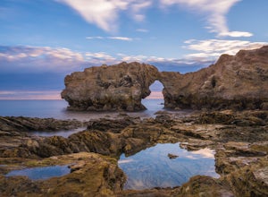
Exploring the Arches at Little Corona del Mar
4.9Little Corona del Mar Beach is a secluded beach located on Poppy Avenue across Ocean Boulevard in Corona del Mar. Known as one of the less crowded beaches in the area, this spot is the perfect place to chill for the day or photograph a sunset. You will find plenty of free street parking in the ne...Read more -
San Diego, California
Black's Beach via the Ho Chi Minh Trail
4.30.61 mi / 259 ft gainFinding the actual trail is 80% of the adventure. Once you turn down La Jolla Farms Road you will follow it for about 3/4 of a mile and there won't be anything too apparent that you are there, except a few cars parked along the street. Make sure to plug in the directions from the map so you know ...Read more -
San Diego, California
Surfing at Black's Beach via the Main Gate
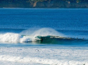
5.01 mi / 650 ft gainWith arguably some of San Diego’s best waves, Black’s Beach can be found in the vicinity of the University of California San Diego campus, at the southern end of Torrey Pines State Beach and north of La Jolla Shores. Stately eight-figure mansions now line the bluffs where pastures and the Black f...Read more -
Newport Beach, California
Stand Up Paddle around Balboa Island, Newport Beach
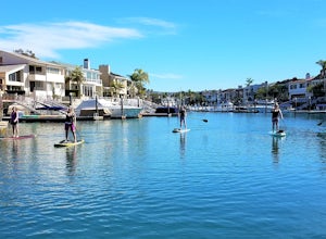
5.0Balboa Island, located in Newport Bay, is a fun destination on its own, but add a relaxing SUP to the mix and you’ve got yourself an adventure. There are two ways to get onto island: cross the Marine Avenue Bridge, or take the Balboa Island Ferry (directly inland from Balboa Pier and south of New...Read more -
San Diego, California
Swing on the La Jolla Tree Swings
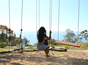
3.0From Torrey Pines Rd, turn left onto La Jolla Shores Drive. After about 1/4 of a mile down start to look for parking preferably near UCSD Coastal Apartments. Once parked walk along the UCSD apartments until you see Discovery way. Make a left at Discovery where you will then cross the street. You ...Read more -
San Diego County, California
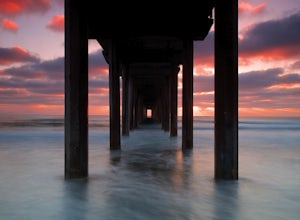
Photograph Scripp's Pier
4.9Parking is easy, there are tons of random street you can park on just a little walk away. Be sure to arrive on scene at least an hour before sunset. Make sure to look up the sunset time and the weather forecast. Clouds will make for the most dramatic images with the most color from the sunset. Ex...Read more -
Borrego Springs, California
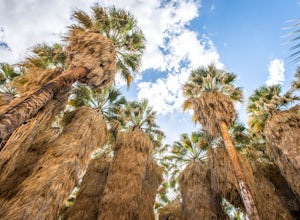
Hike through Borrego Palm Canyon
5.03.25 mi / 450 ft gainBorrego Palm Canyon Trail is located just north of the park visitor center, making it a convenient place to begin your exploration of the Anza-Borrego Desert. To reach the trailhead, drive through Borrego Palm Canyon Campground, the largest developed campground in the park, where an $8 day use fe...Read more -
San Diego, California
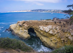
La Jolla Cove
4.8La Jolla Cove is one of the most photographed beaches in San Diego, located on the coast just south of Torrey Pines Natural Reserve. La Jolla Cove is also one of the best spots in San Diego for snorkeling and scuba diving. This calm cove is ecologically protected with many animals making their ho...Read more -
San Diego, California
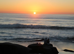
Watch the Sunset at Windansea Beach
5.0One of San Diego's hidden gems. This beach offers an incredible and beautiful view any time of the day. My favorite time to go to this beach is during the sunset. There is a set of stairs just north of the parking lot that leads down to the cliffs where you can sit, hang out, and relax. It's also...Read more -
Santee, California
Cowles Mountain via Big Rock Trail
4.04.86 mi / 1207 ft gainStarting somewhat near sea-level, Cowles Mountain via the Big Rock Trail climbs about 1000 ft in elevation. This trail is about 5 miles total, out and back. Arrive at Big Rock park which has good parking. At the park you will walk to the left of the tennis courts past the limits (the fence) of...Read more -
Santee, California
Cowles Mountain via Big Rock Road
4.54.32 mi / 1109 ft gainStart by plugging 8125 Arlette St, Santee, CA into your GPS. This takes you to Big Rock Park, a convenient parking spot for the Cowles Hike. From here you want to walk through the park, and around the right side of the tennis court. This will take you to the fenced entrance to the hike. Head sout...Read more

