Santee, California
Santee, California is home to some of the best outdoor activities and attractions. From scenic trails to must-visit outdoor adventures, this area has something for everyone. Top attractions in and near the area include Santee Lakes, Mission Trails Regional Park, and Santee Boulders. Santee Lakes is a great place to go fishing, kayaking, and paddle boarding. Mission Trails Regional Park is a great place to go hiking, biking, and horseback riding. Santee Boulders is a great place to go rock climbing. With so many exciting and awe-inspiring activities to choose from, Santee is the perfect destination for those seeking adventure.
Top Spots in and near Santee
-
Santee, California
Cowles Mountain via Big Rock Trail
4.04.86 mi / 1207 ft gainStarting somewhat near sea-level, Cowles Mountain via the Big Rock Trail climbs about 1000 ft in elevation. This trail is about 5 miles total, out and back. Arrive at Big Rock park which has good parking. At the park you will walk to the left of the tennis courts past the limits (the fence) of...Read more -
Santee, California
Crystal Cave
4.00.46 mi / 59 ft gainStarting at 8100 Mesa road, you will see parking along the side of the road in a few places, take advantage where you find it. Pass over the trail gate that marks the start of the journey. This will be a quick trip, as the total distance is less than a mile out and back. Head a quarter mile or ...Read more -
Santee, California
Cowles Mountain via Big Rock Road
4.54.32 mi / 1109 ft gainStart by plugging 8125 Arlette St, Santee, CA into your GPS. This takes you to Big Rock Park, a convenient parking spot for the Cowles Hike. From here you want to walk through the park, and around the right side of the tennis court. This will take you to the fenced entrance to the hike. Head sout...Read more -
Santee, California
Kwaay Paay Trail
2.4 mi / 846 ft gainPark your car in the small gravel parking lot at the southwest corner of Father Junipero Serra Trail and Bushy Hill Drive (this is especially important if you plan to take the sunset hike, so you'll be outside the locked park gate when you descend). There will be other hikers parked there, but I'...Read more -
Santee, California
Oak Canyon in Mission Trails Regional Park
5.03.22 mi / 249 ft gainStarting on Father Junipero Serra Trail, drive 0.7 miles west to the Old Mission Dam parking lot on the left. The park closes the gates at 7pm, so make sure to park early, or plan your hike in such a way that you don't get locked in! If you think you'll need longer, you can park out on the main r...Read more -
San Diego, California
Pyles Peak
5.06.03 mi / 1706 ft gainMost people who live in San Diego have heard of, if not hiked, Cowles Mountain. At 1591 ft., Cowles is the highest peak in the city of San Diego. It's a hugely popular destination for day hikers and trail runners looking to get in a little trail time and take in the 360 degree views the summit h...Read more -
San Diego, California
Visitor Center Loop Trail
5.01.46 mi / 148 ft gainThe Visitor Center Loop Trail is a 1.4 mile hike in San Diego that features river views and allows dogs.The Visitor Center Loop Trail is a well maintained, quick hike with shady spots scattered along the path and open year-round. This trail is great for kids and dog owners. There is a great netwo...Read more -
La Mesa, California
Catch a Sunset at Lake Murray
Lake Murray Reservoir provides drinking water to parts of San Diego, and thus is a no swimming lake. This is one of the reasons it is such a great place to photograph! If you are shooting the sunset, use this app to check the time the sun sets, and get to the lake at least 30 minutes prior to set...Read more -
San Diego, California
South Fortuna Mountain
5.04.59 mi / 997 ft gainHiking at sunset/night is a great way to beat both the heat and the crowds. On a clear day, you can see from Mexico to Catalina Island! If you stay long enough, you can see all of San Diego's city lights turn on, or the marine layer fog creeps into the canyons. South Fortuna Peak is part of Miss...Read more -
San Diego, California
Mission Trails 5 Peaks
15 miThe 15-ish mile route we took made it a great workout, but it didn’t crush us. We left the apartment at 6 am and were back home with plenty of time to prep cook and eat a big dinner before 5 pm. Although I completed the hike in 1 day(and I highly recommend it)many people completed each hike indi...Read more -
Poway, California
Hike around Goodan Ranch
5.03 miStarting at the Sycamore Canyon Trail head, you will see the sign and gate that leads to Goodan Ranch. Head down the gravel road for 1.1 miles, until you reach a 3-way directional split. Heading straight for another .5 miles will take you directly to the ruins of the old Goodan house. Here you wi...Read more -
Lakeside, California
Hike the Oakoasis Open Space Preserve
2.5 mi / 300 ft gainStarting at the trail-head, head down towards the oak-lined ravine marking the beginning of the hike. With trees already growing back from the 2003 fire, these sections of the trail are nice and shady, and quite relaxing. About 1 mile in you will start to see the San Vicente Reservoir to your lef...Read more -
Lakeside, California
Hike El Cajon Mountain
4.512 mi / 4100 ft gainThis challenging trek is a great way to get in shape for that spring or summer trip to the Sierras. You may have heard others tell you how tough the hike is and they're not kidding. You'll be gaining 4100 feet over the 12 miles to the peak and back. If you have the time and the energy, you should...Read more -
Jamul, California
Hike Mt. McGinty
4.8 mi / 1263 ft gainBalancing a good workout, gorgeous views, and minimal time commitment, these 4.8-mile steep trail is definitely a San Diego point of interest, and despite its proximity to the city of San Diego, it remains a low trafficked hike. The Hike: Right away the trail weaves you through beautiful vegetati...Read more -
Ramona, California
Iron Mountain Peak Trail
4.15.67 mi / 1030 ft gainIron Mountain is the longest wilderness trail in Poway, CA. The parking lot is free and provides bathroom and water fountain amenities. The distance from the parking area to the summit is approximately 3.2 miles. Beginning with a wide smooth trail, slowly transitioning into semi-technical incline...Read more -
San Diego, California
Explore Chambers Hidden Dam and Waterfall
3.20.5 miOnce you get off on Poway road, turn right onto Sabre Springs Parkway. Take your immediate left onto Creekbridge Road and park right there on the hill. Walk straight down towards the black gate and go down the hill. Turn right on the trail and walk down 1/4 mile to the dam, and another 500 yards ...Read more
Top Activities
Camping and Lodging in Santee

Chula Vista, California
San Diego Metro KOA Resort
Welcome to sunny San Diego! Escape with your family to this multi-award-winning KOA. You'll love the beautifully landscaped grounds, pave...
Campo, California
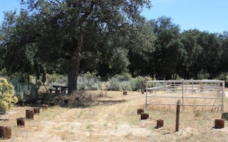
Boulder Oaks Eqst
Overview
Boulder Oaks offers equestrian and family sites in the scenic Cleveland National Forest, about an hour away from San Diego, Cali...
Laguna Meadow Road
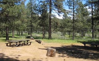
El Prado Group
Overview
El Prado Group Campground is a great mountain getaway just one hour east of San Diego, California in the Laguna Mountain Recreat...
Mount Laguna, California
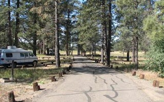
Laguna
Overview
Laguna Campground is a great mountain getaway just one hour east of San Diego, California in the Laguna Mountain Recreation Area...
Mount Laguna, California
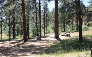
Horse Heaven Group
Overview
Contrary to its name, Horse Heaven Group Campground has no equestrian sites. Instead, this tent-only facility can accommodate ga...
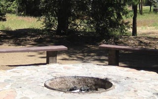
Mount Laguna, California
Wooded Hill Group
Overview
Wooded Hill Group Campground is a great mountain getaway for groups of up to 110 people to take a retreat from the city. Just on...


