Sonoma, California
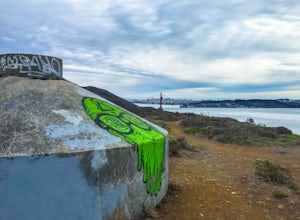
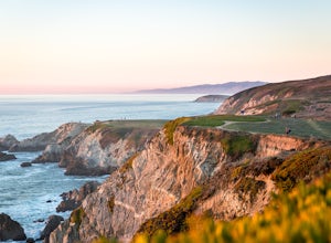
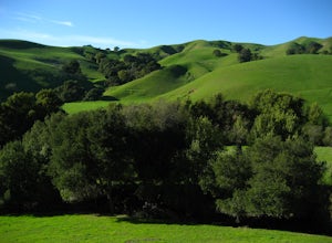
One of the top outdoor adventures in Sonoma, California is hiking the Sonoma Overlook Trail. This 3-mile round trip trail offers scenic views of the Sonoma Valley and the San Francisco Bay. The trail is moderate in difficulty, making it a must-visit for both beginners and advanced hikers. As you traverse the trail, you'll come across a variety of plant species and wildlife. Another notable feature is the rock formation near the trailhead, a testament to the area's geological history. For those who enjoy water activities, the Russian River is nearby, offering opportunities for kayaking and fishing. The best Trails and Outdoor Activities in Sonoma are a testament to the area's natural beauty and diverse ecosystem.
Top Spots in and near Sonoma
-
Mill Valley, California
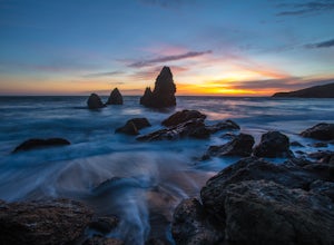
Rodeo Beach
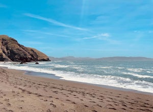
5.0Rodeo beach is 10 minute drive past the Golden Gate. Pack up the car with a couple beverages and something to eat, then spend the afternoon and evening taking in the sunset. If you're taking the romantic angle, remember to pack a few blankets just in case the wind picks up or it's colder than ant...Read more -
Mill Valley, California
Hill 88 Loop
4.05.5 mi / 1086 ft gainThis quick, yet challenging trail run is located just minutes north of the Golden Gate Bridge. Grab your dog (on-leash), park in the large lot next to Rodeo Beach and hit the trail! The climb starts up the Coastal Trail to the right end of the parking lot if you're staring at the beach. Take the...Read more -
Mill Valley, California
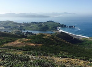
Rodeo Cove to Point Bonita Lighthouse
5.03.64 mi / 568 ft gainIf you're looking for a little hike and a lot of beach, you'll find your ideal combo at Rodeo Beach and Point Bonita Lighthouse. Park at the Marin Headlands Visitor Center at the head of the 0.8 mile trail to the beach. From the lighthouse to the beach, it will be another 1.5-2 miles there and ba...Read more -
Mill Valley, California
Coastal Trail from Rodeo Beach to Muir Beach
11.35 mi / 3264 ft gainThis hike has beautiful views in the Marin Headlands. You'll find easy parking in the Rodeo Beach Parking lot if you get there early (by 8:30 am). This hike goes along the Coastal Trail which has a few steep areas as you make your way to Tennessee Beach. The Tennessee Beach has gorgeous dark b...Read more -
Mill Valley, California
Camp at Kirby Cove
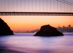
4.5Yes, you can camp just over the Golden Gate! Kirby Cove Campground has 4 overnight campsites and 1 picnic area for day use. The campground is set near a coarse-sand beach and offers amazing views of the Golden Gate, as long as it’s not a super foggy SF day. From the parking lot, it's a steep ~1 m...Read more -
Sausalito, California
Hawk Hill
5.00.76 mi / 144 ft gainIf you're leaving from SF, head over the bridge and exit onto Alexander Ave. Make the immediate left under the overpass and you'll be on the road to Hawk Hill. There's a parking area just below the gate leading up to Hawk Hill. From the parking lot you can walk west about ten yards along the outs...Read more -
Point Reyes Station, California
Drake's Beach, Pt. Reyes
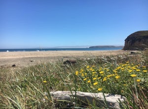
5.0Named after the famed explorer, Sir Francis Drake, Drakes Beach is part of the scenic Point Reyes National Seashore. If you're looking to spend a day and an evening at the beach, grab some snacks and some firewood and head out to Drakes Beach. Key things to remember with the bonfire: Build th...Read more -
Monte Rio, California
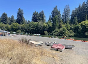
Monte Rio Community Beach
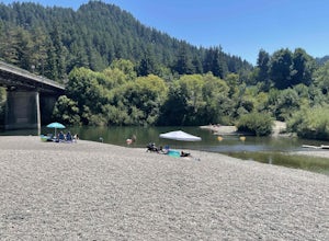
Monte Rio Community Beach is located in the Sonoma County town of Monte Rio. The beach nestles up to the Russian River offering a great chance for families to kick back and relax by the water or bring your kayak or stand-up paddle board for fun on the water. Dog-Friendly: Monte Rio Community Be...Read more -
Sausalito, California
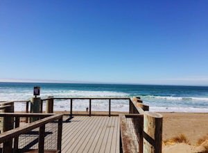
Black Sands Beach
5.00.54 mi / 285 ft gainBlack Sand Beach is a beautiful, mile-long stretch of black sand just north of the Golden Gate Bridge. On a sunny day, it’s best to try and arrive in the morning, as the parking lot can fill up quickly. To get down to the beach, you’ll need to hike for about 5 minutes down 250 or so wooden steps....Read more -
Bodega Bay, California
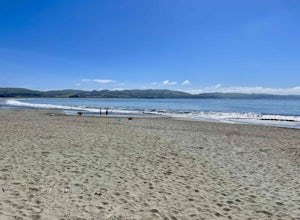
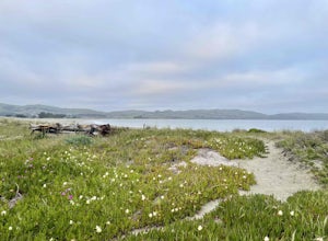
Doran Beach
5.04.02 mi / 75 ft gainDoran Beach is nestled within the picturesque landscape of Doran Regional Park near Bodega Bay, California. Offering pristine shores and captivating vistas, this is a coastal gem that allows visitors a more protected coastal landscape than nearby Salmon Creek State Beach. Explore sandy beaches ...Read more -
Bodega Bay, California
Miwok Campground at Doran Regional Park
5.0Doran Regional Park is located along the coast just south of the town of Bodega Bay, California. There are 5 campgrounds at Doran and Miwok is the tent-only campground with 13 campsites. There is a parking lot at the campground and bathrooms with coin-operated showers. FEES: If camping, your e...Read more -
Bodega Bay, California
Camp at Bodega Dunes Campground
These kind of getaways shouldn't be planned many weeks before the trip. So we didn't booked a campground. And from this experience we learn that you don't have to reserve a campground. Just go there - don't panic when you see campground is full sign in the entrance. There are always available spo...Read more -
Guerneville, California
Johnson's Beach
Johnson's Beach is a public beach located on the Russian River in Guerneville, California.Read more -
Mill Valley, California
Explore WWII Ruins on Point Bonita
4.30.25 mi / 200 ft gainAll throughout the Marin Headlands are WWII-era bunkers, batteries and ruins, including a complex on the hillside above the Point Bonita Lighthouse that provide amazing views of San Francisco, the Golden Gate, and the north coast.Drive out to the parking lot for the Point Bonita Lighthouse in the...Read more -
Bodega Bay, California
Bodega Head Nature Trail
4.71.67 mi / 121 ft gainSitting west of the San Andrea fault, the Bodega Head is a massive chunk of granite from the Salinian Block, a geological terrane that contains Point Reyes and the Farallon Islands, and shares its origins with the Sierra Nevada mountains, the Head itself having been carried hundreds of miles to t...Read more -
Lafayette, California
Briones Park's Lafayette Ridge
4.35.31 mi / 981 ft gainThis is a nice and casual hike through the meadows and rolling hills, dotted with cows and hawks and sometimes goats or foxes. As you head up Lafayette Ridge, you'll be rewarded with the beautiful vista spanning from the Oakland Hills to sparkling Lafayette Reservoir. The hike is mostly through ...Read more

