Sebastopol, California
Sebastopol, California offers some of the best trails and outdoor activities. The Laguna de Santa Rosa Trail is a must-visit. This is a 1.8-mile trail that is perfect for all skill levels. It features a river and is primarily used for hiking, walking, bird watching, and horseback riding. It's a scenic trail with lots of wildlife to spot. Ragle Ranch Regional Park is another top spot for outdoor adventures. It boasts 157 acres of recreational activities, including hiking, bird watching, and picnicking. The park's peaceful West County Prairie trail offers views of rolling grasslands and oak woodlands. The park also has a children's playground and a peace garden. Sebastopol is the perfect place for those seeking scenic outdoor adventures.
Top Spots in and near Sebastopol
-
Calistoga, California
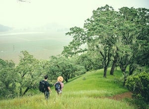
Hike Bald Hill in Robert Louis Stevenson State Park
3.2 mi / 1200 ft gainBald Hill is the first serious peak/summit that can be reached via the Oat Hill Mine Trail as it breaks from the more popular loop and heads into the heart of Robert Louis Stevenson State Park. To get there you can either begin at the less frequently used trailhead at Picket and Rosedale Roads he...Read more -
Calistoga, California
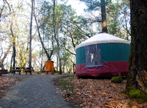
Camp at Bothe-Napa Valley SP
4.5Looking for a romantic getaway but you’d prefer to spend your nights around a campfire? This adventure is for you. This beautiful Napa Valley campground has it all – 10 miles of hiking trails, 1,900 acres to explore, and…new yurts! Yurts are basically cool circular tents that allow you enjoy the ...Read more -
Inverness, California
Abbotts Lagoon Trail
4.63.43 mi / 102 ft gainIf you like beaches, headlands, scenic landscapes, wildflowers, and tons of wildlife viewing, you should give this hike a try. Although it only takes about an hour to complete the out-and-back, the vibe surrounding this area is just begging you to slow down and enjoy your natural surroundings. T...Read more -
Inverness, California
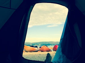
Kayak Camping in Point Reyes
4.9Like camping in remote locations? Love oysters? This is it! Tomales Bay offers boat-in only campgrounds along the east side of the peninsula. We departed from Chicken Ranch Beach, which is on the west side of Tomales Bay. We jumped in our kayaks and headed north in the bay for a quick breather at...Read more -
Inverness, California
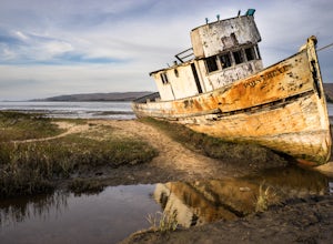
Explore the S.S. Point Reyes Shipwreck
3.9Explore the shipwreck of the S.S. Point Reyes, perched on a sand bar off the shoreline of Tomales Bay. It is located in the small town of Inverness, just behind the grocery store. If you are driving North on Sir Francis Drake Blvd it will be on your right side. Parking is easy and you will see a ...Read more -
Calistoga, California
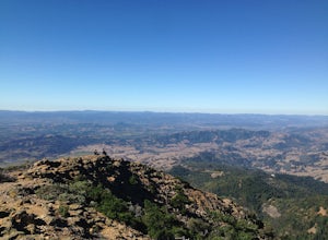
Hike Mount Saint Helena
4.310 mi / 2100 ft gainDrive north from Napa following Rt 29, through Calistoga and up into the forest. After passing the sign for Robert Louis Stevenson State Park, and just over the crest, there is a parking area on the right side of the road, opposite the trailhead on the left. Parking fills up by mid-morning so get...Read more -
Sonoma, California
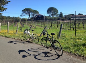
Sonoma Valley Wine Tour Bike Ride
This 12 mile bike path starts at a rental shop in Sonoma Country called Sonoma Valley Bike Tours and Rentals. Follow the trail through the quaint residential area and into the back country vineyards and dirt trails. This ride can be anything between a hardcore 2 hour cycling workout with a few in...Read more -
Nicasio, California
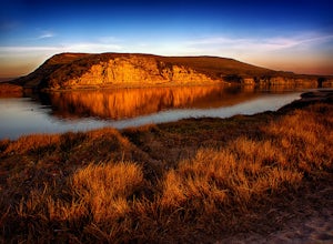
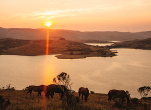
Hike and Fish at Nicasio Reservoir
5.03 mi / 300 ft gainNicasio is a quaint town just inland of the more popular coastal town of Point Reyes. It's most known for it's wine country, rolling hills, and the home of Skywalker Ranch, George Lucas's getaway home. Most visitors of this area either pass right on through for Point Reyes or use it's scenic road...Read more -
Inverness, California
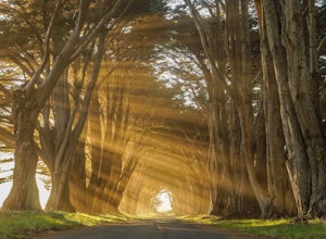
Photograph the Cypress Tree Tunnel in Point Reyes
4.3Just north of San Francisco, there's a row of giant Monterey cypress trees that forms a “tree tunnel”. Loved by Bay Area locals, it's a tucked away spot in the Point Reyes National Seashore for photographers to capture early morning sun rays, or for anyone to get some moments of solitude. At the ...Read more -
Novato, California
Mount Burdell Open Space Loop
4.87 mi / 1234 ft gainStart at the wide gravel parking lot. You will find the start of the San Andreas Fire Road on the south side leading up the mountain. The San Andreas Fire Road heads up the southern slope before joining the Middle Burdell Fire Road and then very quickly the Deer Camp Fire Road. Keep your eyes p...Read more -
Inverness, California
Hike the Estero Trail
5.08 mi / 200 ft gainJune sunshine blazes on your shoulders during this scenic stroll through the Point Reyes Seashore. The trail is alive and awash with colorful wildflowers around every corner.Beginning at the trailhead, just off Home Ranch Road, with a convenient parking lot and bathroom, you'll wade through a hal...Read more -
Point Reyes Station, California
Sky Trail Loop
5.09.55 mi / 1818 ft gainSky Trail in Point Reyes National Seashore is a dramatic, mostly single-track trail that runs along the main spine of the Inverness Ridge and across highest mountains in Point Reyes, looming above the Olema Valley and Highway 1 which mark the San Andreas Fault rift zone and the dividing line betw...Read more -
Point Reyes Station, California
Sky Campground via Sky Trail
2.66 mi / 495 ft gainEntering Point Reyes National Seashore from Bear Valley Road the Sky Trailhead is a 4.9 mile drive. Camping in Sky Camp requires a Camping Permit. Once at the Sky Trailhead parking lot. The Sky Trailhead will be on the left side pulling in. The hike is not very strenuous and not all that lo...Read more -
Novato, California
North Levee Trail
3.78 mi / 157 ft gainNorth Levee Trail is a loop trail where you may see wildflowers located near Novato, California.Read more -
Point Reyes Station, California
Hike the Laguna Trail & Coast Trail Loop
5.05.2 mi / 300 ft gainLeave your car on a side of the road. When navigating there, put "HI Hostel Point Reyes" in your navigation - you park literally on the other side of the road, opposite to the hostel. Go to the west and soon you'll find the start of Coast Trail with a tsunami warning sign. During first 1.8 mile y...Read more -
Point Reyes Station, California
Coast Campground via Laguna Trailhead
4.34.02 mi / 633 ft gainThis campground is the closest you can get to staying overnight on Pt. Reyes coastline if you're backpacking in. Once you get there, enjoy the view! The easiest way to get to the camp is from the slightly uphill hike along the Laguna Trail and the Firelane Trail. The trailhead for the Laguna Tra...Read more

