Sacramento, California
The best Trails and Outdoor Activities in Sacramento, California offer a variety of outdoor adventures. The top trail is the American River Bike Trail, a 32-mile path that winds along the river, offering scenic views of the water and surrounding landscape. It's a must-visit for hikers, bikers, and joggers alike. For a more challenging hike, try the Steven's Trail. This 9-mile round trip hike takes you through dense forests, past unique rock formations, and ends at a stunning river view. For a relaxing day near the water, head to Folsom Lake or Lake Natoma. Both offer boating, fishing, and picnic areas. For a unique attraction, visit the Effie Yeaw Nature Center. It offers walking trails and live animal exhibits. All of these activities are a testament to the rich outdoor life in Sacramento.
Top Spots in and near Sacramento
-
Carmichael, California
Levee Path/American River Bike Trail: Williams Pond Rec Area to Watt Ave
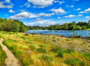
5.93 mi / 112 ft gainLevee Path/American River Bike Trail: Williams Pond Rec Area to Watt Ave is a loop trail that is good for all skill levels located near Carmichael, California.Read more -
Carmichael, California
Hike through the Effie Yeaw Nature Preserve
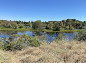
4.34.48 mi / 161 ft gainDetailsEffie Yeaw Nature Preserve is named after Effie Yeaw, a teacher, conservationist and environmental educator who frequented the area on educational nature walks. She was one of the leading forces behind preserving the land now known as The American River Parkway.Effie Yeaw Nature Preserve...Read more -
Gold River, California
Hike the American River Parkway: Fair Oaks Bridge to Hazel Ave.
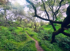
5.04.7 mi / 249 ft gainThis area is possibly one of my favorite stretches of trail along the American River Parkway (for my route, click here. On this trail, you'll get great views of the American River, experience lush fern gullies, and depending on the seasons can see all sorts of wildlife, mostly birds along with t...Read more -
Roseville, California
Explore The Solo Tree
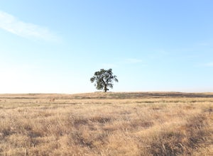
3.0Disclaimer: This tree is on private property. If you choose to proceed, please check in with the property owner and proceed respectfully.The Solo Tree (often referred to as #thatrosevillesolotree on Instagram) has become a very popular photography spot in the Roseville area.Drive as far west as y...Read more -
Galt, California
Hike the Cosumnes River Walk Trail
3.1 mi / 16 ft gainThis trail is a short, easy, accessible and beautiful trail for a nice afternoon walk (or photoshoot). I recommend the River Walk Trail (~3 miles). It is flat and easy to walk. There are multiple loops so you can turn back at any time. There are small bridges, access to the water, meadows, e...Read more -
Auburn, California
Hike the Seven Pools Loop & Vista
5.04.5 mi / 450 ft gainHidden Falls Regional Park is tucked way in the foothills of the Sierra Nevada, about an hour from Sacramento and a 20 minute drive off Interstate 80 and nearby the town of Auburn. Most visitors simply make a be-line for Hidden Falls and miss one of the more breathtaking trail loops that the park...Read more -
Auburn, California
Hike around Coon Creek to Hidden Falls
4.58.4 mi / 968 ft gain--Important: 7-day a week parking reservations required until further notice during the COVID-19 crisis. Follow park social distancing measures. Learn more online, https://www.placer.ca.gov/6106/Hidden-Falls-Regional-Park -- Not far from California's capital is Hidden Falls Regional Park. The na...Read more -
Vacaville, California
Bike the Lake Berryessa Loop
55.82 mi / 1007 ft gainBegin your ride in Vacaville, California out of Alamo Creek Park (street parking is available and free). Head north on Alamo Drive and veer left onto Foothill Drive, then left (South) onto Pleasants Valley Road. After two miles, veer left onto Cherry Glen Road. Stay to the right when you reach th...Read more -
Auburn, California
Hike Training Hill
4.54.5 mi / 1126 ft gainTraining Hill is a 4.5 mile loop trail that features beautiful meadows and wildflowers, with limited views to Folsom Lake and the Auburn canyon. The trail to Training Hill branches off from the Calcutta Falls trail right before the first cement bridge over the American River. Training Hill is r...Read more -
Auburn, California
Hike the Quarry Trail in the Auburn SRA
4.011 miParking in the Auburn State Recreation Area parking lot has a cost of $10.00. Free parking is allowed on the right side of the road located on the right after driving over the bridge. From here the Quarry Trail parking lot and Trail head are a short walking distance ahead on the left side of th...Read more -
Auburn, California
Rock Climb at the Quarry
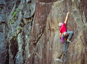
5.02.6 mi / 800 ft gainMany thanks to the Climbing Resource Advocates for Greater Sacramento (CRAGS) and the Access Fund for their hard work in re-opening this location to make it climbing-legal. Where to Park:Put in "Parking lot for the Quarry Trail, California 193, Auburn, CA 95603"This is the designated parking lot ...Read more -
Auburn, California
Hike to the North Fork Dam of Lake Clementine
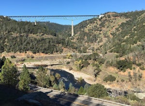
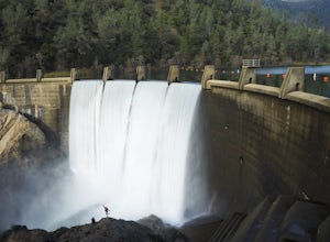
5.04 miLocated only roughly 40 minutes from Sacramento. This trail will allow you to view and walk under the 5th largest bridge in the US as well as enjoy the waterfall spectacle of a top releasing Dam. Once reaching Old Foresthill Road from the town of Auburn, drive over the smaller bridge spanning the...Read more -
Vacaville, California
Bike the Cantelow Climb
5.019.68 mi / 1119 ft gainBegin your ride from Lagoon Valley Park in Vacaville, California. There is a parking lot here if you drive to the start of your ride (the park entrance fee is $3 per vehicle per day). Head out of the parking lot and turn right onto Rivera Road where you'll cross over Hwy 80. The road becomes Cher...Read more -
Winters, California
Fly Fishing on the Putah
4.0Putah Creek is a little over an hour drive from SF without traffic. The creek has flows beginning in April, which can reach up to 700cfs during the summer months. The creek begins to drop after September. Keep in mind that wet-wading isn't recommended until the river is under 300cfs. Most fly fis...Read more -
Winters, California
Hike the Homestead-Blue Ridge Loop
5.0From the official trailhead, start off by taking the Homestead Trail, which forks towards the right. A trail connecting Homestead and Blue Ridge will take you to a creek nearby. Veer off the trail along the creek and there is a water hole for cooling off on hot days. Onward into the trail, you wi...Read more -
Winters, California
Homestead & Blue Ridge Loop
5.04.46 mi / 1299 ft gainAt the bend in the road on Highway 128, you will pass two silver gates. The gate with the UC Davis logo is the entrance to the trailhead. Past the entrance there is a large dirt pullout off the road with plenty of parking. Starting at the trailhead, go left in the fork to start the loop trail. T...Read more
Camping and Lodging in Sacramento
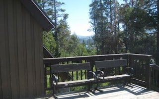
Loon Lake Chalet
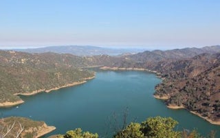
Oak Shores Day Use Area (Ca)
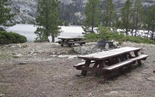
Faucherie
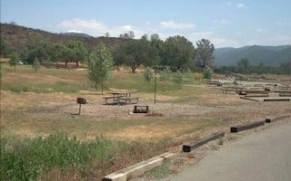
Oak Knoll Campground
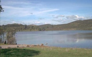
Acorn Campground
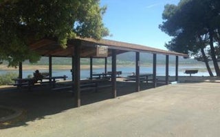
Observation Point Picnic Shelter (Ca)

