Rock Climbing, California
Top Spots in and near Rock Climbing
-
Sausalito, California
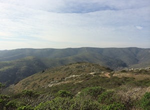
This loop can start from several different locations, including Rodeo Beach and the Golden Gate Bridge parking lot. Starting from the GGB will add 2 more miles onto this run. I like to start at the Coastal Trailhead parking lot off of McCullough and Conzelman Roads (just a notch down from Hawk Hi...
Read more
-
Sausalito, California
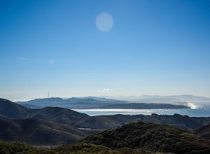
This trail starts at the Coastal Trail in Marin Headlands Park, where there's a small parking lot and outhouse bathroom off the circle when coming from Conzelman Road.Take the Coastal Trail until you intersect with Bunker Road (you can even turn right and spit off the trail just before intersecti...
Read more
-
Sausalito, California
5.0
0.54 mi
/ 285 ft gain
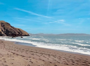
Black Sand Beach is a beautiful, mile-long stretch of black sand just north of the Golden Gate Bridge. On a sunny day, it’s best to try and arrive in the morning, as the parking lot can fill up quickly. To get down to the beach, you’ll need to hike for about 5 minutes down 250 or so wooden steps....
Read more
-
Kensington, California
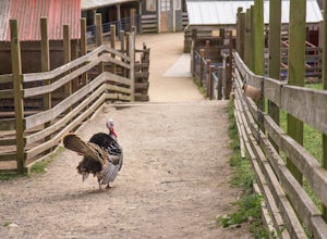
First make sure to stop at the store and stock up on fresh lettuce and celery for the animals. Your kids (or just the kid in you) will love to feed them! Note that they're only allowed to eat lettuce and celery, so don't try to feed them your own snacks or get creative. ;)
If you want to make it...
Read more
-
Mill Valley, California
4.3
0.25 mi
/ 200 ft gain
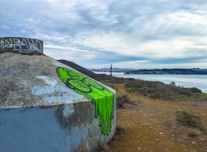
All throughout the Marin Headlands are WWII-era bunkers, batteries and ruins, including a complex on the hillside above the Point Bonita Lighthouse that provide amazing views of San Francisco, the Golden Gate, and the north coast.Drive out to the parking lot for the Point Bonita Lighthouse in the...
Read more
-
Walnut Creek, California
4.0
5.57 mi
/ 1089 ft gain
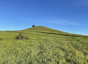
The Southern Lime Ridge Loop is a trail system located near Walnut Creek, CA. There is a parking lot at the trailhead located across the street from the Boundary Oak Golf Course. The trail is fairly exposed with limited shade, so bring appropriate sun protection especially on the warmer days.
D...
Read more
-
Sausalito, California
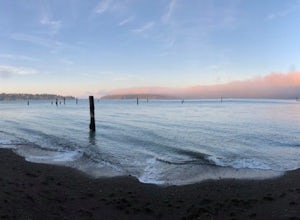
This is a small tucked away beach in Sausalito, CA. Being in the bay, it has very calm waters and is easy to swim in, though the water will be very cold. There are pilings in the water that are remnants of the old piers. It is a great beach to watch the sunset at.
There is very limited street...
Read more
-
Pacific Grove, California
Thousands of monarchs can be found here October through February. It's a small park with a path through the center. Park near the Monarch Grove hotel at the sign that says "Caution: Butterflies present", and cross the street to walk down the short path (pink houses will be on your right) and to t...
Read more
-
Clayton, California
Mt. Diablo has some of the most expansive views in California, despite it's relatively low peak elevation. It played a large role in the surveying the Bay Area during its early discovery. Getting There: To get to the staging area, take Interstate 80 to I-680 to Highway 4. Exit at Railroad Bouleva...
Read more
-
Tiburon, California
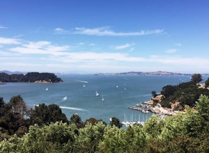
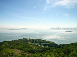
Angel Island Perimeter Loop is a loop trail around the circumference of the island in the San Francisco Bay. The island is located near Tiburon, California with views of downtown San Francisco, Alcatraz, the Golden Gate Bridge, Oakland, Sausalito, and TIburon as you traverse around the island.
...
Read more
-
Tiburon, California
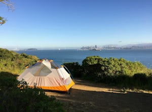
Thousands of years ago, this island was a fishing and hunting ground for the Miwok Native Americans. It has also been an outpost for the U.S. Army and a cattle ranch. Now, it’s one of the closest places to escape from the hustle of San Francisco and set up camp. Camping on the island requires ba...
Read more
-
Belvedere Tiburon, California
4.5
4.92 mi
/ 1178 ft gain
Unless you own a boat or a kayak, this adventure requires a ride on the Blue and Gold Ferry from Pier 41 in San Francisco. But let’s be honest, that’s actually half the fun. Who doesn’t love a ferry ride?
Angel Island State Park is the largest island in the Bay, and recommend the 6-mile loop aro...
Read more
-
Mill Valley, California
5.0
3.64 mi
/ 568 ft gain
If you're looking for a little hike and a lot of beach, you'll find your ideal combo at Rodeo Beach and Point Bonita Lighthouse. Park at the Marin Headlands Visitor Center at the head of the 0.8 mile trail to the beach. From the lighthouse to the beach, it will be another 1.5-2 miles there and ba...
Read more
-
Pacific Grove, California
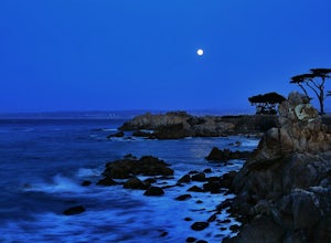
LOVERS POINT PARK AND BEACH:According to local legend, this park was originally called "Lovers of Jesus Point," back in the era when Pacific Grove was a Methodist retreat camp. Since the late 1800s, the beach at Lovers Point in Pacific Grove has been a popular spot for boating and swimming, and o...
Read more
-
Pacific Grove, California
Lover's Point is great place to SUP or kayak. There are tons of jellyfish in the water (so be careful). This beach is also popular for scuba diving and snorkeling. There are rocks surround a small sandy beach and a place to rent kayaks and sups on the beach.
There is a small parking lot as well a...
Read more
-
Pacific Grove, California
Getting there: Drive to the bottom of Ocean View Boulevard in Pacific Grove, California. You will reach a small parking lot. Unfortunately, the parking here is limited. On the bright side, this means the crowds never get too big! The ocean has open swells for surfers, diverse marine-life for snor...
Read more

