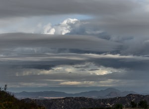
Riverside, California
Mount Rubidoux Trail in Riverside, California is a must-visit for outdoor adventures. It's a top choice for hikers, offering scenic views of the city and the Santa Ana River. The trail is 3 miles long and moderately difficult, making it suitable for most fitness levels. Along the way, you'll find unique landmarks like the Serra Cross and the Peace Bridge. Another best trail is the Santa Ana River Trail, a 50 mile long path perfect for biking, walking, and horseback riding. For a different kind of outdoor activity, head to the California Citrus State Historic Park. Here, you can explore the vast citrus groves, learn about the state's citrus industry, and even sample some of the fruits. The best Trails and Outdoor Activities await you in Riverside, California.
Top Spots in and near Riverside
-
Newport Beach, California
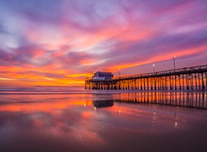
Newport Pier
4.9Newport Pier is located just south of Huntington Beach at the center of the Balboa Peninsula. Balboa Pier, the more crowded pier of Newport Beach, is nearby to the south. Thanks to the awesome weather of Southern California, there’s no reason this beach can’t be enjoyed all year long, which means...Read more -
Los Angeles County, California
Mt. Williamson via Islip Saddle
4.16 mi / 1519 ft gainThe trailhead is immediately off of Angeles Crest Highway CA-2 at Islip Saddle. It's just a touch over 2 miles to reach the summit, through which you'll be hiking among the pine tree forest practically the entire way up (part of this trail doubles as the Pacific Crest Trail). The summit is larg...Read more -
Big Bear, California
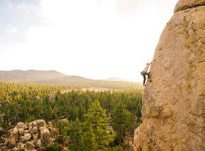
Rock Climb Holcomb Valley
5.0Most of the drive to Holcomb Valley is done on regular paved roads until about the last hour when you get above Big Bear Lake and you start your journey on dirt roads. The road is extremely bumpy and has lots of pot holes but there are generally quite a few cars up there that don't have 4 wheel d...Read more -
Big Bear, California
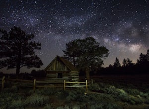
Explore Van Dusen Cabin
4.0This is a great day trip to spend in the mountains. from Highway 18 at the Big Bear Dam you turn left onto highway 38 around the north shore of Big Bear. Continue till you see the sign Van Dusen Rd and turn left. The paved road takes you through residential neighborhoods where the dirt road begin...Read more -
San Clemente, California
San Clemente State Beach
4.54.58 mi / 26 ft gainSan Clemente State Beach is an out-and-back trail that takes past scenic surroundings located near San Clemente, California.Read more -
Riverside County, California
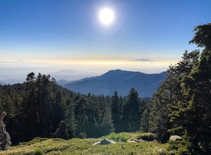
San Jacinto Peak via Marion Mountain Trailhead
11.25 mi / 4505 ft gainSan Jacinto Peak is the second highest peak in Southern California which sits at 10,833'. There are several trails to summit San Jacinto, but Marion Mountain is the shortest but also a tough one. You will start the hike at an elevation of 6300' and continuously climb 4500' in less than 6 miles. ...Read more -
Arcadia, California
Hermit Falls Trail
4.82.49 mi / 1014 ft gainNote: Hermit Falls is Temporarily Closed From Roberts Camp, many hikers will head to Sturtevant Falls, which is an amazing 60-foot waterfall. But, if you choose to head in the opposite direction on First Water Trail, you’ll be rewarded with a fresh water swimming hole at this 35-foot tumbling wa...Read more -
Arcadia, California
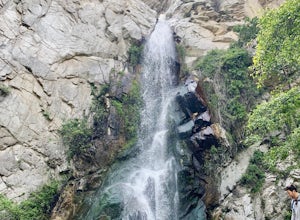
Sturtevant Falls
4.61.61 mi / 423 ft gainThis trail is currently closed. Visit the Forest Service website for updates. As you head down to Roberts Camp, a historic set of historic cabins, you’ll head out on a steep, paved road for approximately 0.6 miles. Once you reach the camp, head over the bridge and keep an eye out for the sign f...Read more -
Arcadia, California
Mt. Wilson Loop from Chantry Flat
5.012.74 mi / 4852 ft gainMt. Wilson is one of the more difficult mountains in the San Gabriel to hike, making this adventure Intermediate. While 5,700 feet doesn't seem that tall, the mountain has a prominence of almost 5,300 feet, meaning that hike is steeper and longer than some of the other popular mountains that star...Read more -
Ladera Ranch, California
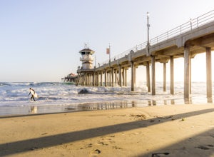
Huntington Beach Pier
4.6The Huntington Beach Pier is a great spot for a multitude of activities. If you're looking to bodysurf, surf, swim, jog, or just chill, this is the spot for you. There's plenty of a restaurants nearby, making it the perfect weekday/weekend getaway. I frequent this location to shoot sunsets by t...Read more -
Aguanga, California
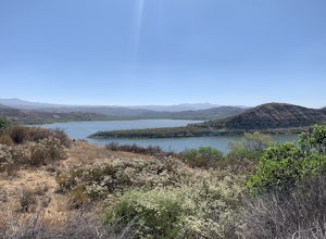
Vail Lake Loop
4.07.25 mi / 922 ft gainVail Lake Loop is a loop trail that takes you by a lake located near Temecula, California.Read more -
San Clemente, California
Beach Day at San Onofre
5.0This spot is no secret but it’s by far one of the best beaches California has to offer and has been regarded since the 1950s as a friendly surfing sanctuary. The beach is divided into three surf spots (named from North to South), known as “The Point,” “Old Man’s,” and “Dogpatch.” To access the be...Read more -
Hemet, California
Hike South Fork Trail
5.4 mi / 1056 ft gainBegin by following the unsigned but visible trail on the south side of the turnout. You climb steadily through bushes and past granite boulders. At half a mile, you pass over to the western slope of the hill where the trail bends southeast, providing your first look of the river valley far below....Read more -
Pearblossom, California
Cooper Canyon Falls via Burkhart Trail
5.03.01 mi / 755 ft gainBurkhart Trail is well-defined and easy to follow through an unbelievable old growth of Jeffrey pines, incense-cedars and surprisingly, redwoods! At 0.25 miles, there is a steep spur trail near a large pile of boulders that leads to a popular swimming area, often frequented by guests of the campg...Read more -
Pearblossom, California
Snowshoe Buckhorn Ridge Trail
2.5 mi / 700 ft gainLocated 1 mile east of the Mt Waterman Ski Resort, Buckhorn Ski Hill is a great place to enjoy a leisurely stroll through a snow-covered forest, complete with views of towering Mt Waterman. To get here take I-210 toward La Canada, exit on to California Highway 2 (Angeles Crest Highway) heading no...Read more -
Temecula, California
Dripping Springs Trail
4.013.68 mi / 3287 ft gainThe trail immediately begins to climb out of the campground on a well-graded incline. The next mile contains some climbing leading to a set of switchbacks. A long strenuous climb ensues until the 3200' elevation is reached. The trail then makes an easy southward traverse to the basin before resum...Read more

