Riverside, California
Mount Rubidoux Trail in Riverside, California is a must-visit for outdoor adventures. It's a top choice for hikers, offering scenic views of the city and the Santa Ana River. The trail is 3 miles long and moderately difficult, making it suitable for most fitness levels. Along the way, you'll find unique landmarks like the Serra Cross and the Peace Bridge. Another best trail is the Santa Ana River Trail, a 50 mile long path perfect for biking, walking, and horseback riding. For a different kind of outdoor activity, head to the California Citrus State Historic Park. Here, you can explore the vast citrus groves, learn about the state's citrus industry, and even sample some of the fruits. The best Trails and Outdoor Activities await you in Riverside, California.
Top Spots in and near Riverside
-
Newport Beach, California
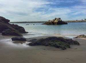
Boulder at Pirate's Cove
4.0This is a great spot for bouldering in Newport Beach, CA with really easy access from the parking lot at Big Corona Beach or street parking above on Ocean Blvd. There are not clear signs to follow, but it is easy to find from the parking lot at Big Corona - it is on the far west side toward the h...Read more -
Banning, California
Lake Fulmor Loop Trail
5.00.53 mi / 89 ft gainLake Fulmor is a small lake in the San Jacinto Wilderness near Idyllwild, CA. The trail loops around the lake offering spectacular views and is good for all skill levels. There are picnic tables, grills, and a small dock where you can peer out over the lake or cast a line. To fish in Lake Fulm...Read more -
Newport Beach, California
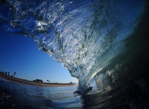
Bodysurfing and Photography at The Wedge
4.8Beginning at the east end of the Balboa Peninsula The Wedge's main power house is the Newport Harbor Jetty. When the right south swell hits the jetty it reflects back creating a massive back wash. When the back wash hits an incoming set you have the notoriously heavy wedge-like shore break thunde...Read more -
Big Bear, California
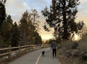
Alpine Pedal Path
5.05.08 mi / 292 ft gainAlpine Pedal Path is an out-and-back trail that takes you by a lake located near Big Bear Lake, California.Read more -
Whittier, California
Hellman Park Trail
3.04 mi / 850 ft gainThis trail is great if you're looking for a quick, but intense workout. The hike itself is only 4 miles out- and-back and can be easily completed within a couple of hours. However, be prepared for a steep and steady incline for the first 1.5 miles. The trail itself is pretty wide, and if you sho...Read more -
Dana Point, California
Hike the Salt Creek Trail
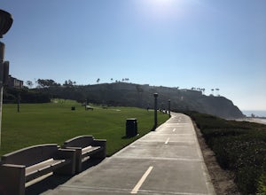
5.03 mi / 20 ft gainStarting from the Salt Creek Beach parking lot (a paid lot that takes cash, debit, and credit cards and charges by the hour. There are pay stations at a few points in the parking lots), you head west towards the ocean...through a tunnel and down the hill towards the beach. Once you get to the bas...Read more -
Dana Point, California
Surf Salt Creek
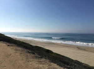
5.0There are two HUGE parking lots off of PCH, so parking isn't an issue (unless it's on a weekend in the summer, then it does get full). This is a paid lot with a few pay stations located around the parking lot, and they take cash and credit/ debit card...you can pay by the hour. Once you find your...Read more -
Dawson Saddle, California
Hike to Throop Peak, Mt. Hawkins, and Mt. Burnham
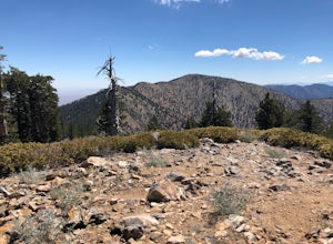
8 mi / 2000 ft gainThe trailhead, or pair of trailheads actually, is at a location on the Angeles Crest Highway (CA-2) called Dawson's Saddle. There are a couple of parking areas along the side of the highway, and each of the pair of trailheads begins at either end of this parking area. The trailheads aren't mark...Read more -
Dana Point, California
Stand Up Paddle Dana Point Harbor
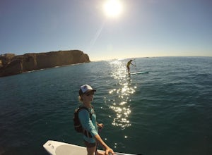
5.0Whether I’m looking for a quick workout on the water, wanting to catch some waves, or simply explore the coastline, Dana Point is one of my favorite places to paddle. There is plenty of parking close to the beach, so you don’t have to walk far with your board. It’s also a great spot to launch as ...Read more -
Monrovia, California
Monrovia Falls
3.71.46 mi / 459 ft gainMonrovia Falls is closed indefinitely due to the Bobcat Fire and mudslides. Read more on the CityofMonrovia.org website. The Monrovia Falls are at the end of the main trail located in Monrovia Canyon Park. The park is easy to locate and has ample parking. Keep in mind you do have to pay a fee of...Read more -
Fallbrook, California
Hike the Santa Margarita River Trail
5.05 mi / 469 ft gainSanta Margarita River Trail is a 5 mile out-and-back hike that takes you near the river in Fallbrook, CA. This trail provides some shade which is helpful on hot days. If you bring your swimsuit you can hop in for a dip on hotter days. Make sure you wear good hiking shoes due to some rocky terrai...Read more -
Dana Point, California
Explore Tide Pools at Dana Point
5.0If you're ever driving on the 5 between San Diego and Los Angeles and traffic is miserable (always), consider making a stop at Dana Point to check out the tide pools. The best place is behind the Ocean Institute which offers plenty of free parking and a short walk behind the building will quickly...Read more -
Dana Point, California
Walk the Dana Point Preserve Trail
5.00.5 miOcean views the whole time, plenty of wildlife and different species of native plants make this short hike beautiful. With the hike being short enough to complete in the afternoon after a day at the beach you can see a beautiful view of the coastline north and south. There is plenty of parking in...Read more -
Azusa, California
Little Jimmy Trail Camp
4.33.36 mi / 607 ft gainTake Hwy 2 out of La Canada north along Angeles Crest Highway. Follow this for quite some time enjoying the fine views in all directions. After traveling through two consecutive tunnels continue to the Islip Saddle parking lot (on left). There will be a vault toilet & a picnic table. Display ...Read more -
Whittier, California
Sycamore Canyon Trail in Turnbull Canyon
2.03.47 mi / 627 ft gainThe Sycamore Canyon Park Trailhead can be found at the end of the dirt parking lot off Workman Mill Road. The entrance is off a small road which is pretty easy to miss, but there is a sign off the main road. Soon after you start on the trail, the path opens up onto a larger dirt road for vehicle ...Read more -
Big Bear, California
Holcomb Valley Campground
This campground is awesome! With great views, plenty of space and clean bathrooms it'll have you in for a treat! Whether it be a multiple day trip or just one night this campground is awesome. Read below for information if you are looking for a trip in the mountains! Cost: This campground is a ...Read more

