Rancho Palos Verdes, California
Looking for the best photography in Rancho Palos Verdes? We've got you covered with the top trails, trips, hiking, backpacking, camping and more around Rancho Palos Verdes. The detailed guides, photos, and reviews are all submitted by the Outbound community.
Top Photography Spots in and near Rancho Palos Verdes
-
La Cañada Flintridge, California
Teepee Trail
5.02.55 mi / 1145 ft gainHidden in the small community of La Canada, California, the trailhead is pretty hidden! From the 210, take the exit for Highway 2/Angeles Crest Highway. Head north (towards the mountains) for about a mile. As the highway begins to curve, you will come across a small side-street, Harter Lane. Turn...Read more -
Laguna Beach, California
Emerald Canyon & Bommer Ridge Loop
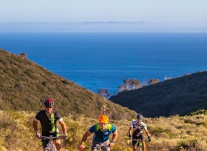
5 mi / 873 ft gainThere a numerous trails in the Laguna Coast Wilderness that proceed up and along the ridges and down into the canyons (or the reverse), and are quite popular for mountain biking, hiking, and trail running. A great mountain biking loop begins in Emerald Canyon at the end of Emerald Canyon Road an...Read more -
Laguna Beach, California
Explore the Seascape at Crescent Bay
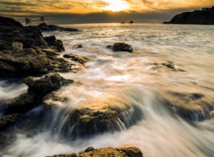
4.3If you are in Southern California and want to find a good place to watch the sunset, this is the place. Laguna Beach, Orange County is loaded with awesome beaches to shoot photos of the famous California sunsets. This is one of my favorites because of so many options.When arriving to the beach, h...Read more -
Laguna Beach, California
Trail Run the Boat Road and Laguna Ridge
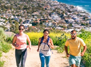
4.34 mi / 600 ft gainThere a numerous trails in the Laguna Coast Wilderness that proceed up and along the ridges and down into the canyons (or the reverse), and most are excellent for trail running, hiking, and mountain biking. A classic out-and-back (with many options for loops) begins at the end of Dartmoor Street ...Read more -
Laguna Beach, California
Scuba Dive Shaw’s Cove, Laguna Beach
Shaw’s Cove is located just 3 minutes North of Laguna Beach’s Main Beach Park and one beach south of Crescent Bay. There’s a dive shop placed conveniently above the cove so if you need to rent equipment, it’s right there. The shop is close enough to walk to the cove, but with 60 pounds of gear, t...Read more -
Laguna Beach, California
Kayak the Laguna Beach State Marine Preserve
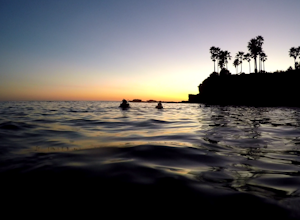
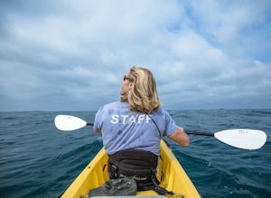
5.0Whether you're a beginning, intermediate, or advanced paddler, there are numerous ways to explore via sea kayak the protected waters off the coast of Laguna Beach. You can bring your own or rent and book a tour from several shops in town. An excellent starting point is at Fisherman's Cove just of...Read more -
Laguna Beach, California
Stand Up Paddleboard Fisherman's Cove
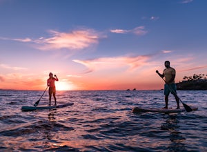
Fisherman's Cove is a protected beach and cove in Laguna Beach at the bottom of Boat Canyon that is tucked away from the hustle, bustle, and crowds that are often found at other nearby beaches. Further, parking is easily (relatively speaking) found along Cliff Drive. The beach itself, especially ...Read more -
Heisler Park, California
Relax at Heisler Park
5.0Located in Laguna Beach, California, Heisler Park is just past Main Beach, so it's the perfect place to avoid the typical tourist crowds. There's plenty of parking at Heisler Park, however you will have to pay, so come with a friend to split the cost! Luckily, if you plan on going to catch the su...Read more -
Laguna Beach, California
Water Tank Trail
4.33.05 mi / 502 ft gainThere a numerous trails in the Laguna Coast Wilderness that proceed up and along the ridges and down into the canyons (or the reverse), and most are excellent for hiking, trail running, and mountain biking. A classic out-and-back (with many options for loops) begins in Irvine Bowl Park at the en...Read more -
Arcadia, California
Hermit Falls Trail
4.82.49 mi / 1014 ft gainNote: Hermit Falls is Temporarily Closed From Roberts Camp, many hikers will head to Sturtevant Falls, which is an amazing 60-foot waterfall. But, if you choose to head in the opposite direction on First Water Trail, you’ll be rewarded with a fresh water swimming hole at this 35-foot tumbling wa...Read more -
Arcadia, California
Mt. Wilson Loop from Chantry Flat
5.012.74 mi / 4852 ft gainMt. Wilson is one of the more difficult mountains in the San Gabriel to hike, making this adventure Intermediate. While 5,700 feet doesn't seem that tall, the mountain has a prominence of almost 5,300 feet, meaning that hike is steeper and longer than some of the other popular mountains that star...Read more -
Monrovia, California
Monrovia Falls
3.71.46 mi / 459 ft gainMonrovia Falls is closed indefinitely due to the Bobcat Fire and mudslides. Read more on the CityofMonrovia.org website. The Monrovia Falls are at the end of the main trail located in Monrovia Canyon Park. The park is easy to locate and has ample parking. Keep in mind you do have to pay a fee of...Read more -
Laguna Beach, California
Hike Willow Canyon, Laguna Coast Wilderness Park
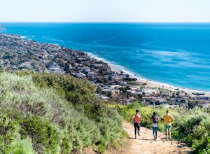
5.06.7 mi / 1208 ft gainThis hike has been a must do since I was young. Do you love scenic views of the ocean and wildlife? You'll see plenty of both, from hawks searching for food to squirrels and deer running through the brush. This is my favorite route in this area but there are plenty of other trails to shorten or a...Read more -
Laguna Beach, California
Surf Brooks Street Beach
5.0Brooks Street Beach is just a couple of blocks off the Pacific Coast Highway in Laguna Beach. Parking can be tricky, so be forewarned that you may need to walked a few blocks. Winter can be good, but during the summer and big south swells are when you want to go surfing, so be sure to check out ...Read more -
San Fernando, California
Pacoima Park Natural Wash Park
0.54 mi / 13 ft gainPacoima Park Natural Wash Park makes for a wonderful & pleasant walk. The entrance to the park is located at the corner of Newton St and 8th St and runs up to Foothill Blvd in San Fernando California. The park is ADA accessible and allows for dogs on leash. There are also picnic tables and dr...Read more -
Los Angeles County, California
San Gabriel Peak
4.02.79 mi / 1040 ft gainAt 6,000 feet, San Gabriel Peak gives you one of the best views of the Los Angeles basin on the front range of the San Gabriel Mountains National Monument. As you pass through Muller Tunnel, the trail will be littered with rocks and boulders. A little over 100 feet in, the road will fork in thre...Read more


