Ragged Point, California
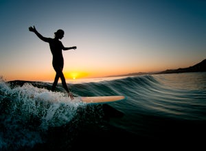
Looking for the best surfing in Ragged Point? We've got you covered with the top trails, trips, hiking, backpacking, camping and more around Ragged Point. The detailed guides, photos, and reviews are all submitted by the Outbound community.
Top Surfing Spots in and near Ragged Point
-
Big Sur, California
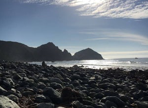
Sand Dollar Beach
4.80.35 mi / 82 ft gainHead into Big Sur and get a campsite at Plaskett Creek. You can either make a reservation through recreation.gov or show up and hope to luck out on one of the first-come, first-serve campsites. The campground is much more crowded during the prime summer months, so if you want to get better surf ...Read more -
Big Sur, California
Surf Willow Creek
4.0Willow Creek is a couple of miles south of Sand Dollar Beach. Sand Dollar is generally a mushier wave that is more welcoming. Willow Creek on the other hand, has more power and offers punchier waves for the more experienced. However, it is more fickle than Sand Dollar Beach. There are loads of ke...Read more -
Cambria, California
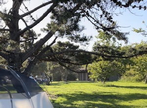
Camp at San Simeon State Park
4.0San Simeon has two campgrounds to choose from – San Simeon Creek Campground has 115 campsites for tent or RV camping. Sites have fire rings and picnic tables, and nearby there is firewood for sale. Your other choice is the primitive Washburn Campground, located 1 mile inland. From this plateau, y...Read more -
Cayucos, California
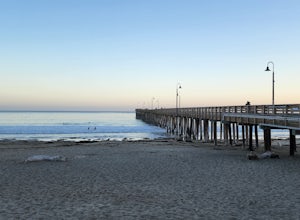
Cayucos Pier Trail
5.00.35 mi / 30 ft gainCayucos Pier Trail is an out-and-back trail where you may see beautiful wildflowers located near Cayucos, California.Read more -
Morro Bay, California
Photograph the Rock at Morro Bay
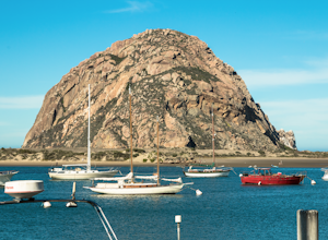
4.8Morro Bay is located west about 13 miles of San Luis Obispo. Typically Pismo Beach and San Luis are the go to spots when traveling to that area, but after spending the day there I would highly recommend giving it a visit! The first thing you'll see when pulling into downtown Morro Bay is the mas...Read more -
San Luis Obispo County, California
Camp at Montaña de Oro State Park
5.0Located about 7 miles south of Morrow Bay, follow Los Osos Valley Rd into the state park. Watch for the signs to park, as you will be cited after 10pm.The campground is located just across the road from the famous Spooner's cove, but there are any number of trails and hikes you can enjoy (check ...Read more -
Big Sur, California
Hike the Creamery Meadow Trail to Molera Beach
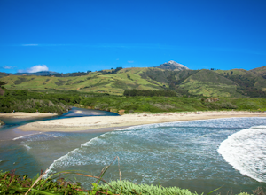
2 miEntrance to the parking lot is $10 per car, and once you get in be sure to use the restroom before you head for the trail, since you will likely spend a good amount of time out there.Look for the sign that says Creamery Meadow Trail. You'll know it's right when the very first thing you'll need to...Read more -
Big Sur, California
Camp at Andrew Molera State Park
4.51 miAndrew Molera is about 27 miles south of Carmel and one of the first State Parks you'll hit heading down the coast. There will be signs for the Park as you approach and the main parking lot is only a couple hundred yards from Hwy 1. There are a number of hiking trails and activities to do around ...Read more

