Oakhurst, California
Looking for the best chillin in Oakhurst? We've got you covered with the top trails, trips, hiking, backpacking, camping and more around Oakhurst. The detailed guides, photos, and reviews are all submitted by the Outbound community.
Top Chillin Spots in and near Oakhurst
-
Madera County, California
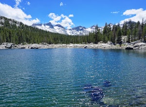
Backpack to Waugh Lake
5.011 mi / 1000 ft gainThere are several trailheads you can start at to get to the lake, but we chose the River Trail in Agnew Meadows because it was the only trailhead that hadn't met the quota yet. You can check on permit's and trailheads here. If the River Trail is booked other great options are Shadow Creek, Fish C...Read more -
Groveland, California
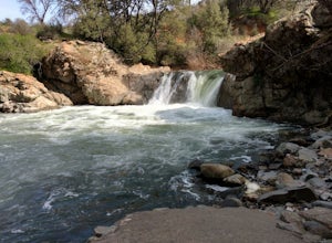
Rainbow Pool
4.5Finding Rainbow Pool is a little tricky, since it is off the side of a highway, but when you find it there is parking and bathrooms. There is a easy walkway to get down to the pool itself, and trails to climb to the top to slide or jump off the rocks. Many people tend to fish up top underneath th...Read more -
Mammoth Lakes, California
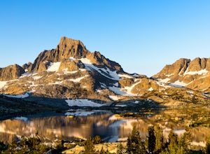
Backpack from Mammoth Mountain to Yosemite Valley via the John Muir Trail
5.052 mi / 6300 ft gainCross country hiking can be a daunting idea. There are so many things to plan for, and such a long distance to cover. If you are an experienced backpacker, and you want to get a taste of hiking on the John Muir Trail this hike might interest you. Planning GPS Map (Caltopo): https://caltopo.com...Read more -
Mammoth Lakes, California
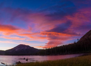
Photograph Lake Mary, Mammoth Lakes
4.0Lake Mary is the largest of the 11 lakes in the Mammoth Mountain area. Explore the lake’s perimeter and find your own perfectly peaceful place to watch one of Mammoth’s signature stunning sunsets. Parking is easy to come by either on the side of the road or at the marina parking lot up the road.B...Read more -
Mammoth Lakes, California
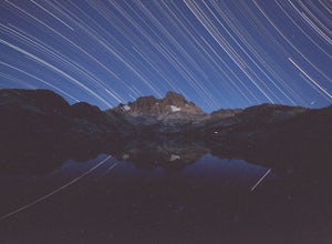
Backpack to Garnet Lake
5.014 mi / 2030 ft gainAlthough this trip specifically describes how to get to Garnet Lake, there are several other pristine alpine lakes (Shadow Lake and Thousand Islands Lake) along this looped trail, only a few short miles away from each other, that are just as worthy if you have the time. A minimum of 3 days/2 nigh...Read more -
Mammoth Lakes, California
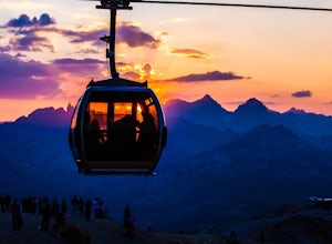
Take the Panorama Gondola to the Summit of Mammoth Mountain
3.5The summit of Mammoth at 11,053 feet provides one of the most stunning views you'll find in California. Take a scenic trip up the Panorama Gondola for a 360 degree vista of Sierra Nevada peaks and a commanding view of the San Joaquin River Valley below. Grab a lunch at the cafe at the top, then v...Read more -
Mammoth Lakes, California
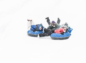
Tubing at Woolly's Tube Park
There probably isn't a more fun way to goof around and play in the snow. And we take it up a notch - skip the hiking, and catch a lift to the top, then bomb down as fast as you dare in one of our high-speed snow tubes. (Children must be 42" to tube.)Highlights include everything you could be look...Read more -
Mammoth Lakes, California
Romantic Sunset Snowcat Tour
Take a ride in a snowcat for one of the most unique excursions in the Eastern Sierra. Experience the sights and sounds of the backcountry in the heated comfort of a luxury snowcat.After a day on the slopes, celebrate a spectacular view over the Ritter Range and the Minarets with a champagne toast...Read more -
Tuolumne County, California
Backpack to Nelson Lake
17 mi / 1000 ft gainHead to any Yosemite wilderness station for a map, bear canister, and permit for Nelson Lake. The trail itself starts in the Tuolumne Campground at Elizabeth Lake trailhead. Follow the trail 2.2 miles up to Elizabeth Lake and remember the lake itself is in a no-camping zone, so you must continue ...Read more -
37.872112,-119.370472
Hike to Waterwheel Falls
17.32 miWaterwheel Falls may be the most unique waterfall in Yosemite. During high waterflow an extraordinary phenomenon appears as the raging water hits a series of ledges creating a plume, this coupled with strong gust blowing upward create cyclical "waterwheel" effect hence the name. On a good day th...Read more -
Tuolumne County, California
Camp at Tuolumne Meadows Campground
5.0Tuolumne Meadows is on Tioga road northeast of Yosemite Valley, at elevation 8,600 feet. Sites are available July-September at $26. Dogs are allowed but be sure to pack the leash! More info: https://www.nps.gov/yose/plany...Read more -
YOSEMITE NATIONAL PARK, California
Enjoy a Sunset at Tuolumne Meadows
5.0Tuolumne Meadows at an elevation of 8,619 feet exemplifies the high country of the Sierra Nevada, with its sweeping sub-alpine meadows, granite domes, summer wildflowers and meandering rivers. When the forest opens up park along the side of the road and find a trail. There are also plenty of near...Read more -
Shaver Lake, California
Camp at Voyager Rock Campground
4.0The paved road ends at the Maxson Trailhead parking lot on the SE side of Courtright Reservoir. The adventure starts with a glance to the left, down a rock-strewn dirt track that leads off further into the wilderness. You're wondering, "Is that the trail?" and "Do I dare?"The Dusy-Ershim Trail of...Read more -
Tuolumne County, California
Photograph Dana Fork
Yosemite is filled with some amazing views but rarely do you get to experience these views by yourself. This hidden treasure is located off of Tioga Pass, is near some of Yosemite’s most popular hikes, and offers an outstanding sunrise and sunset views without the crowds. Located 2.5 miles Sout...Read more -
Mammoth Lakes, California
Relax at Laurel Lakes
0 mi / 0 ft gainThe Laurel Lakes trip, just south of Mammoth Lakes, is a worthwhile day trip that can easily be made into a hiking/camping trip.To get there, make your way to Laurel Lakes Rd via Sherwin Creek Rd either from Old Mammoth Rd or from the 395. The road to the lakes is not too bad initially but you'll...Read more -
June Lake, California
Gull Lake Loop
1.97 mi / 174 ft gainGull Lake trail is one of my favorite hiking spots in the June Lake Loop area. It is a very scenic trail that goes through varying terrains from meadows to marshes to aspen and conifer groves. Trailhead starts at the Mono County Community Center and winds counter-clockwise around the lake to th...Read more

