Mount Tamalpais, California
Top Spots in and near Mount Tamalpais
-
Portola Valley, California
4.3
7.2 mi
/ 1400 ft gain
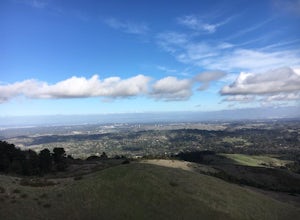
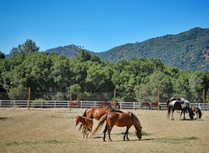
This 7.2-mile loop starts by heading out of the parking lot and onto the Spring Ridge Trail. Head Southeast On Spring Ridge Trail until you connect with Hamms Gulch Trail. When you jump on Hamms Gulch, head southwest for ~3.4 miles as you circle the far end of the OSP. At this point, you will con...
Read more
-
Forestville, California
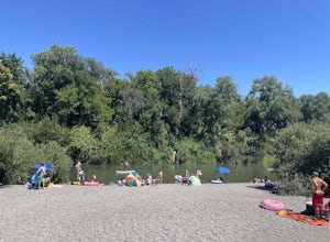
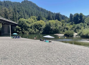
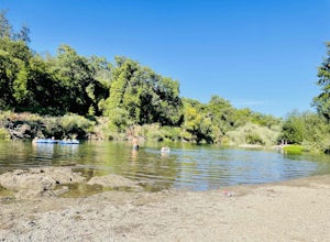
Steelhead Beach offers two great spots to access the river. There's a small beach on the right-hand side of the beach (south end) and a launch site on the left (north end) of the beach. The launch point makes for a great spot to start your float down the river. Make sure you have a shuttle car or...
Read more
-
Fremont, California
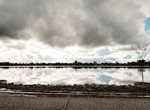
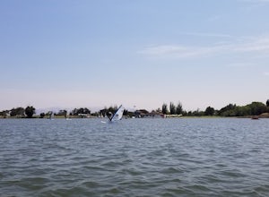
Lake Elizabeth is located in central Fremont. It offers a nice break from the city streets and can be enjoyed by walkers, joggers, and bikers alike. It is a park for all ages.
Other attractions include volleyball nets, multiple playgrounds, and aqua adventure park, geese, and peddle boats.
...
Read more
-
Calistoga, California
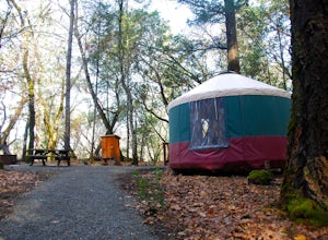
Looking for a romantic getaway but you’d prefer to spend your nights around a campfire? This adventure is for you. This beautiful Napa Valley campground has it all – 10 miles of hiking trails, 1,900 acres to explore, and…new yurts! Yurts are basically cool circular tents that allow you enjoy the ...
Read more
-
Palo Alto, California
Getting There:
From Hwy 280, take the Page Mill Road exit and head West on Page Mill Road, away from Downtown Palo Alto (if you're taking 101, exit on Oregon Expressway). Then turn right on Arastradero Road. There will be a small sign indicating the dirt parking lot on the eastern side of the str...
Read more
-
Vacaville, California
Begin your ride in Vacaville, California out of Alamo Creek Park (street parking is available and free). Head north on Alamo Drive and veer left onto Foothill Drive, then left (South) onto Pleasants Valley Road. After two miles, veer left onto Cherry Glen Road. Stay to the right when you reach th...
Read more
-
Monte Rio, California
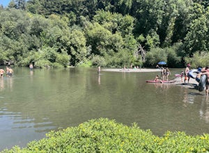
Monte Rio Community Beach is located in the Sonoma County town of Monte Rio. The beach nestles up to the Russian River offering a great chance for families to kick back and relax by the water or bring your kayak or stand-up paddle board for fun on the water.
Dog-Friendly:
Monte Rio Community Be...
Read more
-
3160 North Shoreline Boulevard, California
Shoreline Lake features a big lake, many hiking and biking trails, and lot of picnic areas in Mountain View, CA. Kayaks, SUP, and various boats can be rented from the boat house. This is a great place to enjoy the water no matter what season it is. There are large grassy areas for kids to run and...
Read more
-
Sonoma County, California
4.8
4.73 mi
/ 981 ft gain
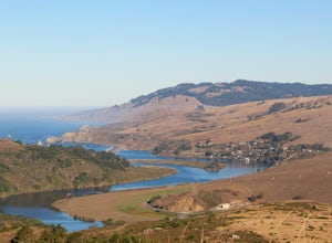
Park in the Shell Beach parking lot, north of Bodega Bay proper but just south of Goat Rock State Beach on Highway 1. Cross the road to pick up the Dr. David C. Joseph Memorial Trail heading up away from the ocean. Follow the trail, staying right toward Red Hill. (The trail forks off down Pomo Ca...
Read more
-
Monte Rio, California
4.0
3.83 mi
/ 883 ft gain
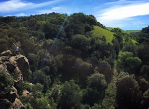
The Islands in the Sky Vista Loop in Monte Rio, California, is a moderately challenging hiking trail. Spanning approximately 3.83 miles, the loop offers a variety of terrain, including forested areas, open meadows, and rocky outcrops. The trail is well-marked and maintained, making it suitable fo...
Read more
-
Forestville, California
Sunset Beach River Park is located off River Road in Forestville, California. The beach offers up picturesque views of the Russian River and is a great spot to end your float if starting at Steelhead Beach.
The Beach:
The beach is about a quarter of a mile walk from the parking area. Keep this ...
Read more
-
Livermore, California
4.5
4.38 mi
/ 620 ft gain
This regional preserve is perfect for day hikes. There are also designated campsites and even a backpack campsite. Horses and dogs are welcome in the preserve.
There are many different clearly marked trails that one can choose from. A good 4.5 mile loop is to start at the Park Residence entrance...
Read more
-
Forestville, California
Mother's Beach, known locally as Mom's Beach, is located in Forestville, California. This beach is a hidden gem situated on the scenic Russian River, between Steelhead Beach and Sunset Beach.
Dog Friendly:
Mom's Beach is a great spot to bring your pup on a leash.
Times of Operation:
The bea...
Read more
-
Sunol, California
4.3
6.4 mi
/ 1443 ft gain
Pleasanton Ridge Trail is a 6.4 mile loop. The loop is shared by dog walkers, trail runners, hikers, mountain bikers and horseback riders. From the ridge your viewpoints will include Mount Diablo and the San Francisco Bay.
This hike from the Foothills Staging Area is an excellent introduction ...
Read more
-
Jenner, California
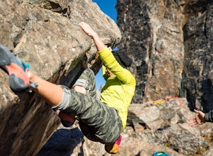
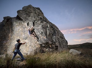
Lamb Boulder, located within the "Sunset Boulders" collection, contains four fun and challenging V2 - V6 bouldering routes. They are:
Calambity: V6Rock Scar: V3+Skullcracker: V2 RThe Specialist: V4
Lamb Boulder is located directly across from the Sunset Boulder itself and its trad routes. To get ...
Read more
-
Jenner, California
You can see the boulders off the left side of the road. Couple of different pullouts you can park at to start your approach. It’s about half a mile from the road all downhill. It’s easy going when you’re on your way, but kind of a pain after you’re whooped from climbing.
Bouldering, high balls, ...
Read more

