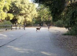
Mount Tamalpais, California
Top Spots in and near Mount Tamalpais
-
La Honda, California
There are a bunch of beginner to intermediate mountain biking trails at Skyline Ridge Open Space Preserve (click here for a trail map). There are some beginner mountain biking classes that come here to learn. You can find specific trails that match your ability at MTB Project.
There is a Chris...
Read more
-
Winters, California
5.0
4.46 mi
/ 1299 ft gain
At the bend in the road on Highway 128, you will pass two silver gates. The gate with the UC Davis logo is the entrance to the trailhead. Past the entrance there is a large dirt pullout off the road with plenty of parking.
Starting at the trailhead, go left in the fork to start the loop trail. T...
Read more
-
Winters, California
Stebbins Cold Canyon is a great day hike for all skill levels, accessible year round, and offers an abundance of wild flower viewing, including the California poppy. Tog get to the hike, head about 8 miles west of Winters, CA, where a silver fire gate marks the main entrance to the Stebbins Cold ...
Read more
-
Winters, California
From the official trailhead, start off by taking the Homestead Trail, which forks towards the right. A trail connecting Homestead and Blue Ridge will take you to a creek nearby. Veer off the trail along the creek and there is a water hole for cooling off on hot days. Onward into the trail, you wi...
Read more
-
Winters, California
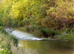
Putah Creek is a little over an hour drive from SF without traffic. The creek has flows beginning in April, which can reach up to 700cfs during the summer months. The creek begins to drop after September. Keep in mind that wet-wading isn't recommended until the river is under 300cfs. Most fly fis...
Read more
-
Guerneville, California
5.0
8.65 mi
/ 1722 ft gain
The hike starts at the Gilliam Creek Trailhead, halfway up Armstrong Woods Road on the way to Bullfrog Pond. There is an $8 fee to enter the park, to be paid at the ranger kiosk as you enter Armstrong Woods.
HIKING
Begin hiking by descending the Gilliam Creek Trail. The descent is long and ste...
Read more
-
Pescadero, California
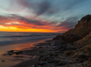
There are a bunch of places to photograph this beach if you head north on the trail that runs along the beach.There is parking at the beach but it can fill up quickly!The only warning you need is about the tide. Make sure you are watching it the entire time because it can creep up on you and will...
Read more
-
Rancho San Antonio Open Space Preserve, California
Rancho San Antonio Open Space Preserve has many beginner to intermediate hiking trails. Deer Hollow Farm Trail Loop is a hiking trail for beginners, families, or anyone wanting to go on a short hike with nice views of the bay.
The trail passes by a farm and deer can often be seen wandering aroun...
Read more

