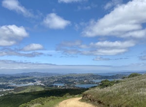
Moss Beach, California
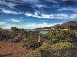
Moss Beach, California is a must-visit for top outdoor adventures. The Fitzgerald Marine Reserve offers a scenic hiking trail that is moderately difficult, perfect for those seeking a bit of a challenge. Along the trail, you'll encounter unique natural features like tide pools, seals, and a variety of marine life. Another best trail is the Pillar Point Bluff Trail, which offers stunning views of the Pacific Ocean and the famous Maverick's surf break. This trail is easy to moderate, making it suitable for all ages. If you're looking for water activities, Moss Beach offers kayaking and paddleboarding near the shore. For bird watching, the Moss Beach Park is a great spot. The best Trails and Outdoor Activities in Moss Beach are truly a treat for those who appreciate the great outdoors.
Top Spots in and near Moss Beach
-
San Francisco, California
Ride Paradise Loop
4.3Riding this loop has long been a popular option for San Franciscan riders looking to escape the busy city streets. This 38-mile ride with 1,600 feet of elevation, is suitable for all personalities of rider: the fast paced racer or the person just out to relax and cruise.A great place to start thi...Read more -
San Francisco, California
Fort Mason
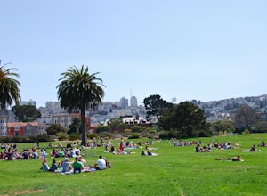
4.8When the sun comes out in San Francisco, Fort Mason's Great Meadow Park transforms into ground zero for bocce ball, corn hole, wiffle ball, music, dancing, wine, and beer. While it lacks the diversity and quirkiness found at Dolores Park, it makes up for it with a beautiful panoramic view of the ...Read more -
San Francisco, California
Run the Coit Tower Stairs
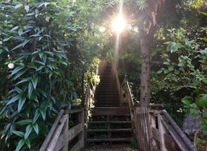
3.8There are 2 sets of stairs for Coit Tower on Sansome St. The first set is at Greenwich and the second is at Filbert. The Filbert steps are a little deeper per step and are mostly wood and concrete. The Greenwich steps are a little tougher because of the shallower, brick stairs as you get toward t...Read more -
San Francisco, California
Aquatic Park
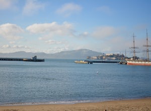
3.7Take an early morning swim and watch the sunrise over the east bay or catch an afternoon swim on a sunny SF day. A full lap around the buoys (out-and-back) is about 1/3 mile and the perimeter of the park is 1 mile. Bring your dog for a swim too! Afterward, you can head up Columbus to one of the m...Read more -
Mill Valley, California
Explore WWII Ruins on Point Bonita
4.30.25 mi / 200 ft gainAll throughout the Marin Headlands are WWII-era bunkers, batteries and ruins, including a complex on the hillside above the Point Bonita Lighthouse that provide amazing views of San Francisco, the Golden Gate, and the north coast.Drive out to the parking lot for the Point Bonita Lighthouse in the...Read more -
Sausalito, California
Black Sands Beach
5.00.54 mi / 285 ft gainBlack Sand Beach is a beautiful, mile-long stretch of black sand just north of the Golden Gate Bridge. On a sunny day, it’s best to try and arrive in the morning, as the parking lot can fill up quickly. To get down to the beach, you’ll need to hike for about 5 minutes down 250 or so wooden steps....Read more -
Sausalito, California
Hawk Hill
5.00.76 mi / 144 ft gainIf you're leaving from SF, head over the bridge and exit onto Alexander Ave. Make the immediate left under the overpass and you'll be on the road to Hawk Hill. There's a parking area just below the gate leading up to Hawk Hill. From the parking lot you can walk west about ten yards along the outs...Read more -
Mill Valley, California
Camp at Kirby Cove
4.5Yes, you can camp just over the Golden Gate! Kirby Cove Campground has 4 overnight campsites and 1 picnic area for day use. The campground is set near a coarse-sand beach and offers amazing views of the Golden Gate, as long as it’s not a super foggy SF day. From the parking lot, it's a steep ~1 m...Read more -
Mill Valley, California
Kirby Cove
4.72 miThis scenic hike is a 1.8 mile out-and-back trail located near Sausalito, CA. From the trail and beach, you'll get scenic of the Golden Gate, San Francisco's skyline, and glimpses of the East Bay. The best news, there's rarely any crowd. Consider packing a blanket and a small picnic. With panora...Read more -
Sausalito, California
Battery Spencer
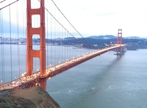
4.00.47 mi / 46 ft gainThis is a very popular spot to hike up to from Conzelman Road. You can find parking in the lot or on the street and do the quick hike up to Battery Spencer. You can get a perfect view of the Golden Gate Bridge and SF from the Marin side of the Bay. This is a unique perspective as you also get the...Read more -
Stanford, California
Stanford Dish Loop
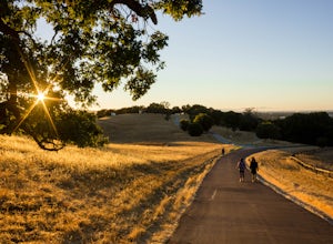
4.43.67 mi / 472 ft gainIf you live in the Palo Alto area and are looking for a place to hike or run, The Dish is a close, and great way to get that exercise. Located right on the corner of Stanford Ave and Junipero Serra, you'll see that small gated entrance right when you drive on by. As far as parking goes, you're le...Read more -
Sausalito, California
Vista Golden Gate
4.3The headlands offer great views of the Golden Gate Bridge, particularly at Vista Golden Gate. You can make the Vista Viewpoint your starting off point to leave your car or if you're riding, just stop in and enjoy the view. This spot allows you to capture views of the Golden Gate as well as Angel ...Read more -
La Honda, California
Sam McDonald Park Loop
5.012.19 mi / 2192 ft gainThe Pescadero Creek Park Complex is a great place to escape for a day or overnight hike in the heart of the Bay Area. You will need to get a permit to stay overnight - these can be attained on a first-come, first-serve basis from the ranger station. Most of the campsites here are also available f...Read more -
Mill Valley, California
Rodeo Cove to Point Bonita Lighthouse
5.03.64 mi / 568 ft gainIf you're looking for a little hike and a lot of beach, you'll find your ideal combo at Rodeo Beach and Point Bonita Lighthouse. Park at the Marin Headlands Visitor Center at the head of the 0.8 mile trail to the beach. From the lighthouse to the beach, it will be another 1.5-2 miles there and ba...Read more -
Palo Alto, California
Hike the Arastradero Preserve Loop
3.04.5 mi / 600 ft gainGetting There: From Hwy 280, take the Page Mill Road exit and head West on Page Mill Road, away from Downtown Palo Alto (if you're taking 101, exit on Oregon Expressway). Then turn right on Arastradero Road. There will be a small sign indicating the dirt parking lot on the eastern side of the str...Read more -
Mill Valley, California
Miwok, Marincello and Bobcat Trail
8.17 mi / 1391 ft gainMiwok, Marincello and Bobcat Trail is a loop trail that takes you by a river located near Sausalito, California.Read more

