Long Barn, California
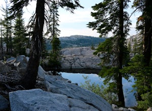
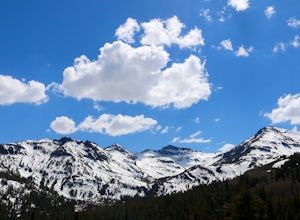
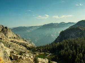
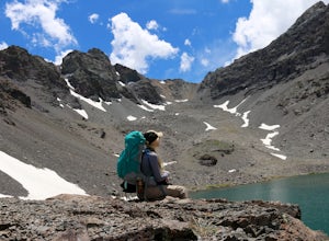
Long Barn, California, offers a range of top outdoor adventures, with the best trails and outdoor activities. The Pinecrest Lake Loop Trail is a must-visit for hikers. This moderate 4-mile trail circles the scenic Pinecrest Lake, with stunning views of the water and surrounding forest. For a more challenging trek, try the Emigrant Wilderness Trail. It offers a diverse landscape, including rivers, rock formations, and lush meadows. Don't miss the Columns of the Giants, a unique geological formation near the trail. For a relaxing day, visit the nearby Stanislaus River Parks, perfect for fishing and picnicking. Remember, these outdoor attractions are within and near Long Barn, making them convenient for a day of exploration.
Top Spots in and near Long Barn
-
Pinecrest, California
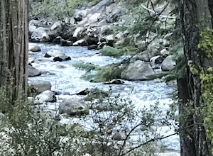
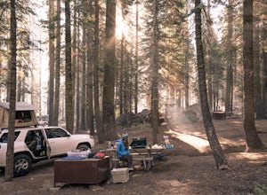
Camp at Baker Campground
5.0/ 6224 ft gainBaker Campground is a first come, first serve campground. Each site is equipped with a fire ring, picnic table, and bear boxes. The cost for a single family site is $20 per night and a double family site is $40 per night. The campground provides bathrooms and potable water. The campground is typi...Read more -
Arnold, California
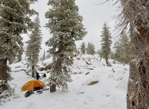
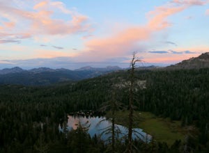
Snow Camp at Bull Run Lake
15 mi / 2400 ft gainThis is a long, beautiful snowshoe to a lake that is very accessible in the summer but almost untouched in the winter! There are a couple of ways to access the lake during the winter, but this is the most interesting: Starting at the easternmost sno-park along Highway 4 going east of Bear Valley,...Read more -
Mariposa County, California
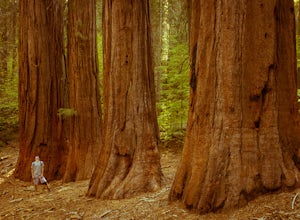
Merced Grove
5.03.32 mi / 600 ft gainMerced Grove is technically the smallest and most secluded of the three sequoia groves found in Yosemite National Park, which lends itself to be less crowded offering a peaceful solitude hike. The trailhead is located at the Merced Grove parking lot on Big Oak Flat Road. This trail begins by foll...Read more -
Bear Valley, California
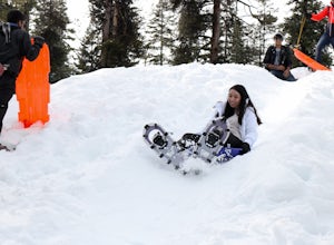
Snowshoe Bear Valley
5.0Bear Valley is a family friendly destination for snowshoeing and snow play. There are numerous trails to explore while snowshoeing. Don't be afraid to take a break and start a snowball fight! There are shops located near the resort to rent snowshoes and other snow play accessories. There are s...Read more -
Bear Valley, California
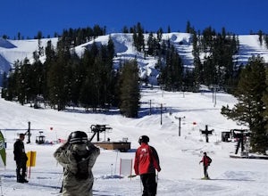
Ski or Snowboard at Skyline Bear Valley
5.0Bear Valley is nestled in the high Sierra between Yosemite and Lake Tahoe. It is a popular destination for families and nature lovers. It boasts 1,900 vertical feet over 1680 acres for skiing and snowboarding. Winter is a popular time at Bear Valley. Most visitors come to ski or snowboard, but...Read more -
Arnold, California
Backpack To Wheeler Lake
5.07.8 mi / 1000 ft gainThe trail to Wheeler Lake begins at the Woodchuck Basin Trailhead. This trailhead is located a little over a mile east of Lake Alpine on Highway 4. The trail starts off relatively flat and winds through forests and meadows, taking you into the Mokelumne Wilderness. Time it right and you'll be met...Read more -
Tuolumne County, California
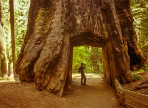
Tuolumne Grove of Giant Sequoias
4.22.67 mi / 653 ft gainThe Tuolumne Grove of Giant Sequoias is one of three sequoia groves in Yosemite National Park. This particular grove has gorgeous forest scenery and provides great solitude compared to the crowded Yosemite Valley. The trail used to be an old road offering a wide path with a gradual descent, makin...Read more -
Mariposa County, California
Camp at Crane Flat Campground
Crane Flat Campground is located on the Big Oak Flat Road (Highway 120) just west of Crane Flat, about 30 minutes northwest of Yosemite Valley. Sites are open July-October at $26/night. More info at https://www.nps.gov/yose/plany...Read more -
Arnold, California
Hike To Bull Run Lake
4.3The hike to Bull Run Lake is about 7.8 miles, roundtrip, and begins at the Stanislaus Meadows Trailhead, located about 10 miles West of Ebbetts Pass. There is plenty of parking near the trailhead, off of the South side of CA 4. The trailhead GPS coordinates are: N38 30.376' / W119 56/617'Once you...Read more -
Arnold, California
Hiking Disaster Creek
While this is not a terribly scenic hike, the trees, creek, and terrain are very beautiful, and the entire area is quiet and peaceful. You're likely not to pass a single other person on the hike, which is great for letting dogs off-leash.The trail starts off with a series of switchbacks, which ga...Read more -
Tuolumne County, California
Backpack Grand Canyon of the Tuolumne
5.048.29 mi / 10610 ft gainThis is a rugged overnight backpack into the North country of Yosemite dropping in from Tuolumne Meadows into the Grand Canyon of the Tuolumne. The trail begins at an elevation just under 9,000' and drops to a low elevation of 4,500' almost 19 miles later at Pate Valley. Coming up out of Pate Val...Read more -
Highway 108, California
Backpack to Blue Canyon Lake
5.03.6 mi / 1280 ft gainTrailhead Coordinates: 38º 19'08.46"N 119º39'49.26"W Elev 8897ftThe trail is kind of tricky to find. It is West of the PCT trailhead at Sonora Pass and it is not marked. You park along the side of Hwy 108 and scramble down an embankment where a creek flows at the bottom. Cross this creek and you ...Read more -
Highway 108, California
Hike to Deadman Lake
6 mi / 1700 ft gainStart: 38º19'08.46"N 119º39'49.26"W Elev 8879ftPark along Hwy 108, head down the bank and across the stream at the bottom. There you will find the start of the trail.This is a challenging hike without much of an actual trail to follow for the majority of it. The hike is very steep in certain are...Read more -
Arnold, California
Climb Lookout Peak in the Carson-Iceberg Wilderness
5.04 mi / 1900 ft gainLookout Peak in the Carson-Iceberg Wilderness off Highway 4 provides solitude and wonderful views of the surrounding Sierra Nevada including the Mokelumnee and Emigrant Wildernesses. Even on summer weekends you'll likely have the peak and surrounding area all to yourself.Lookout Peak can be done ...Read more -
Arnold, California
Climb Peep Sight Peak in the Carson-Iceberg Wilderness
7 mi / 1800 ft gainPeep Sight Peak in the Carson-Iceberg Wilderness off Highway 4 provides solitude and wonderful views of the surrounding Sierra Nevada including the Mokelumnee and Emigrant Wildernesses. Even on summer weekends you'll likely have the peak and surrounding area all to yourself. Peep Sight Peak can b...Read more -
Mono County, California
Leavitt Lake in Stanislaus National Forest
4.07.44 mi / 1385 ft gainSituated on the eastern edge of Emigrant Wilderness, Leavitt Lake is a great introduction to backpacking in the Sierra Nevada. Leavitt Lake is located at the end of Forest Service Route 077 off of Highway 108. It is actually possible to drive to Leavitt Lake, but a high clearance vehicle is requi...Read more

